
| Memorials | : | 0 |
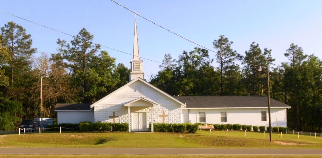
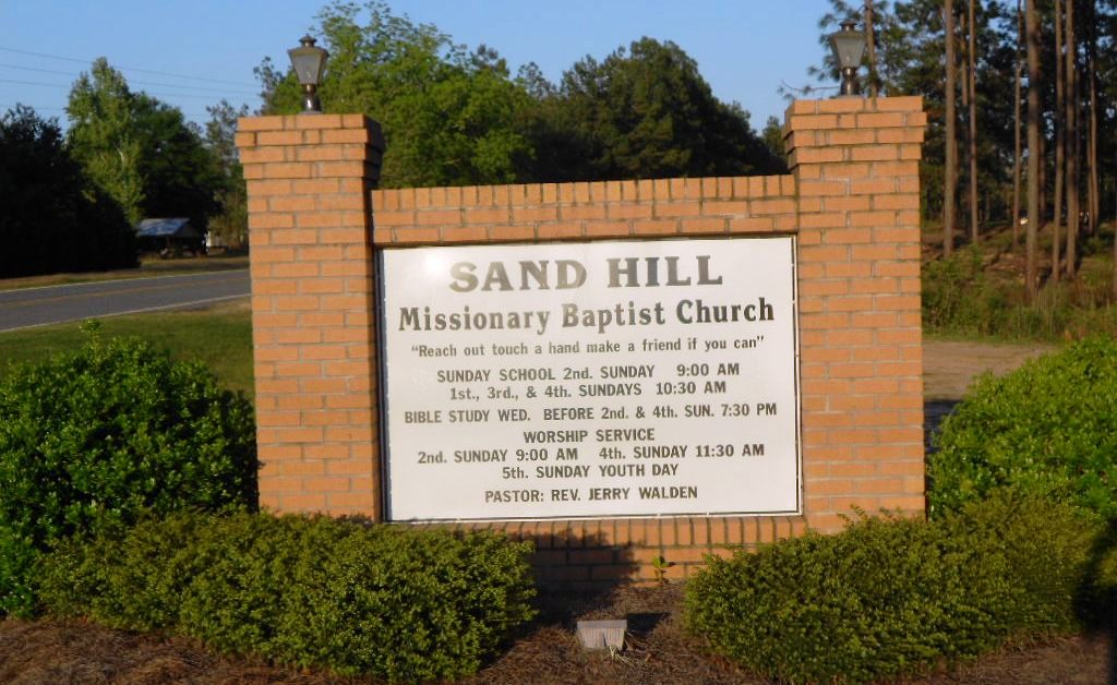
| Location | : | Kite, Johnson County, USA |
| Coordinate | : | 32.7283270, -82.6221200 |
frequently asked questions (FAQ):
-
Where is Sand Hill Missionary Baptist Church Cemetery?
Sand Hill Missionary Baptist Church Cemetery is located at Gumlog Road Kite, Johnson County ,Georgia , 31049USA.
-
Sand Hill Missionary Baptist Church Cemetery cemetery's updated grave count on graveviews.com?
0 memorials
-
Where are the coordinates of the Sand Hill Missionary Baptist Church Cemetery?
Latitude: 32.7283270
Longitude: -82.6221200
Nearby Cemetories:
1. Union Hill Baptist Church Cemetery
Johnson County, USA
Coordinate: 32.7271400, -82.6405760
2. Garnto Cemetery
Wrightsville, Johnson County, USA
Coordinate: 32.6951870, -82.6303580
3. Cypress Grove Church Cemetery
Wrightsville, Johnson County, USA
Coordinate: 32.7188900, -82.6741700
4. Kent-Dixon-Rowland Family Cemetery
Johnson County, USA
Coordinate: 32.7353940, -82.6752480
5. New Home Missionary Baptist Church Cemetery
Wrightsville, Johnson County, USA
Coordinate: 32.7636700, -82.5838150
6. Rehoboth Baptist Church Cemetery
Johnson County, USA
Coordinate: 32.6933190, -82.5769750
7. John W Harrison Cemetery
Wrightsville, Johnson County, USA
Coordinate: 32.7587340, -82.5658560
8. Stephens
Kite, Johnson County, USA
Coordinate: 32.6984800, -82.5578800
9. Saint Paul Cemetery
Kite, Johnson County, USA
Coordinate: 32.6976400, -82.5577110
10. Curry Cemetery
Johnson County, USA
Coordinate: 32.7891998, -82.6449966
11. Fortner Cemetery
Kite, Johnson County, USA
Coordinate: 32.7069016, -82.5456009
12. Oaky Grove Primitive Baptist Church Cemetery
Wrightsville, Johnson County, USA
Coordinate: 32.7730680, -82.5608930
13. Anderson Cemetery
Kite, Johnson County, USA
Coordinate: 32.6775017, -82.5639038
14. Liberty Grove Cemetery
Johnson County, USA
Coordinate: 32.6588510, -82.6493950
15. Snell Cemetery
Meeks, Johnson County, USA
Coordinate: 32.6547012, -82.6355972
16. Beulah Baptist Church Cemetery
Johnson County, USA
Coordinate: 32.7794820, -82.6910540
17. Abattoir Cemetery
Wrightsville, Johnson County, USA
Coordinate: 32.7341700, -82.7157100
18. Home Circle Cemetery
Wrightsville, Johnson County, USA
Coordinate: 32.7358670, -82.7164980
19. Community Missionary Baptist Church Cemetery
Wrightsville, Johnson County, USA
Coordinate: 32.7030550, -82.7140480
20. Price Cemetery
Johnson County, USA
Coordinate: 32.7975006, -82.5681000
21. Sumner-Anthony Cemetery
Wrightsville, Johnson County, USA
Coordinate: 32.7034264, -82.7170105
22. Kersey Family Cemetery
Kite, Johnson County, USA
Coordinate: 32.6751621, -82.5417982
23. Gumlog Primitive Baptist Church Cemetery
Kite, Johnson County, USA
Coordinate: 32.7312711, -82.5162420
24. Harriett Carter Cemetery
Wrightsville, Johnson County, USA
Coordinate: 32.6549750, -82.6830800