
| Memorials | : | 0 |
| Location | : | Coatesville, Chester County, USA |
| Coordinate | : | 40.0074997, -75.7647018 |
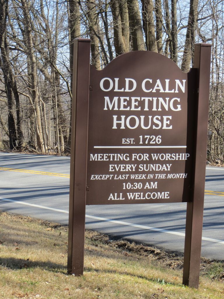
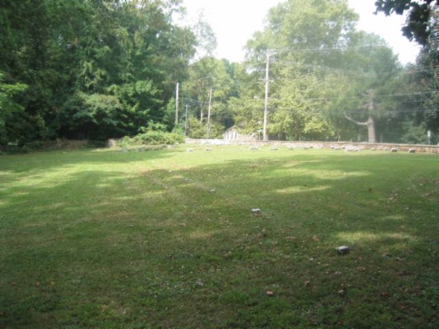
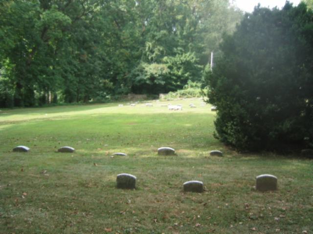
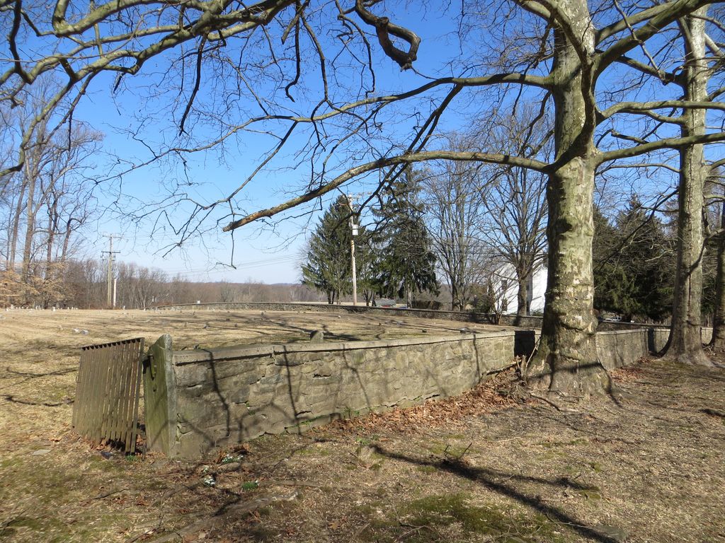
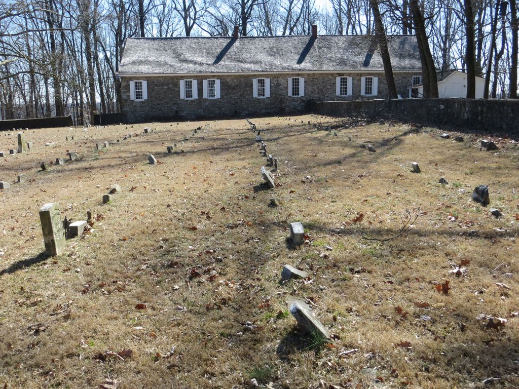
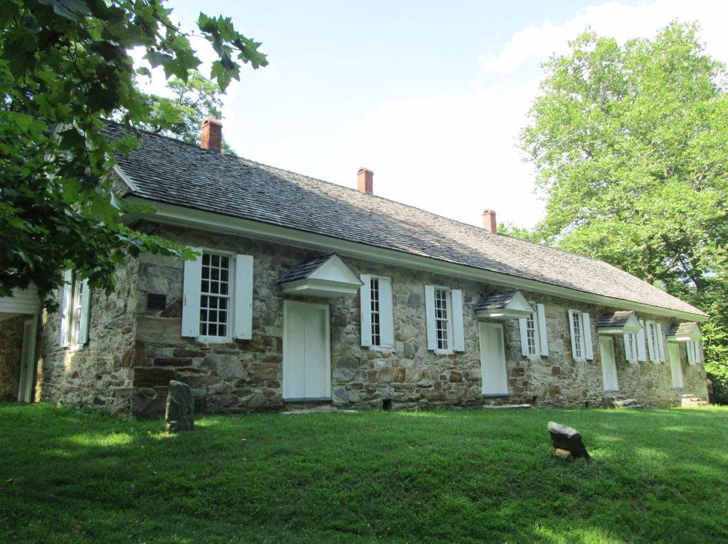
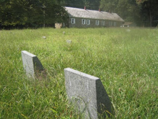
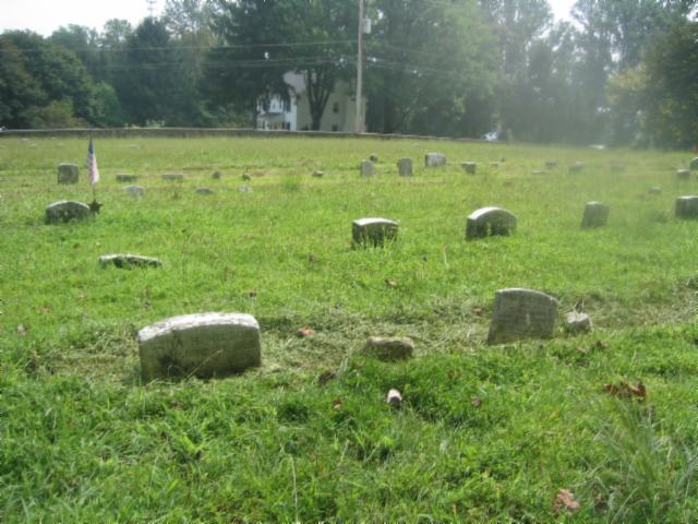
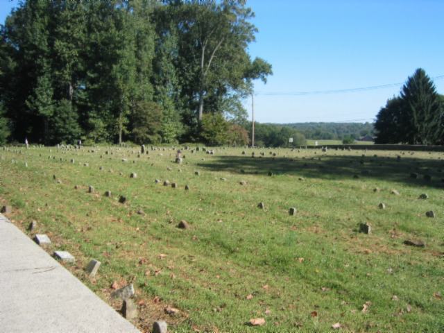
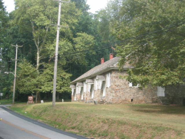
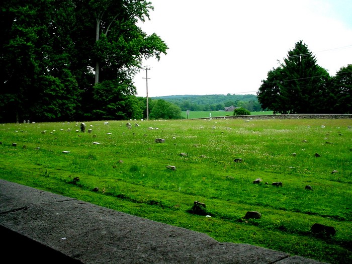
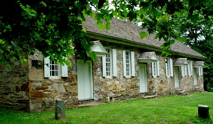
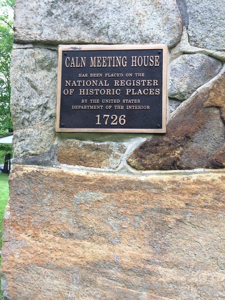
| Description | : | A preparative meeting at Caln was established by Concord Monthly Meeting in 1716 and Chester Quarterly established the meeting for worship later that same year. In 1737, both meetings were transferred to Bradford Monthly Meeting. The Orthodox prep meeting was discontinued sometime after 1940 and the Hicksite prep meeting was first transferred to Bradford-Uwchlan and then discontinued in 1889. Its members were attached to Uwchlan Prep Meeting. The Caln Meeting Orthodox Cemetery is across the street. (Route 340 is also known as E. Kings Highway) |
frequently asked questions (FAQ):
-
Where is Old Caln Friends Meeting Burial Ground?
Old Caln Friends Meeting Burial Ground is located at Route 340 at N. Baily Rd Coatesville, Chester County ,Pennsylvania , 19320USA.
-
Old Caln Friends Meeting Burial Ground cemetery's updated grave count on graveviews.com?
0 memorials
-
Where are the coordinates of the Old Caln Friends Meeting Burial Ground?
Latitude: 40.0074997
Longitude: -75.7647018


Nearby Cemetories:
1. Caln Orthodox Friends Burial Ground
Coatesville, Chester County, USA
Coordinate: 40.0071710, -75.7634290
2. East Brandywine Baptist Church Cemetery
Guthriesville, Chester County, USA
Coordinate: 40.0256004, -75.7491989
3. Lutheran Church of the Good Shepherd Columbarium
Coatesville, Chester County, USA
Coordinate: 39.9842680, -75.7891530
4. Hopewell United Methodist Church Cemetery
Downingtown, Chester County, USA
Coordinate: 40.0382996, -75.7351990
5. Saint Cecelia's Roman Catholic Cemetery
Coatesville, Chester County, USA
Coordinate: 39.9906006, -75.8114014
6. Saint Joseph Cemetery
Downingtown, Chester County, USA
Coordinate: 39.9900017, -75.7155991
7. Fairview Cemetery
Coatesville, Chester County, USA
Coordinate: 39.9789009, -75.8071976
8. Derry Union American Methodist Episcopal Cemetery
East Fallowfield Township, Chester County, USA
Coordinate: 39.9649185, -75.7764344
9. Coatesville Presbyterian Cemetery
Coatesville, Chester County, USA
Coordinate: 39.9831543, -75.8184738
10. Hibernia United Methodist Cemetery
Cedar Knoll, Chester County, USA
Coordinate: 40.0250015, -75.8339005
11. Romansville Friends Burying Ground
Romansville, Chester County, USA
Coordinate: 39.9536018, -75.7431030
12. Northwood Cemetery
Downingtown, Chester County, USA
Coordinate: 40.0222015, -75.6921997
13. Downingtown Friends Meeting Cemetery
Downingtown, Chester County, USA
Coordinate: 40.0139400, -75.6887000
14. Lindley Hill African Methodist Episcopal Cemetery
Downingtown, Chester County, USA
Coordinate: 40.0275803, -75.6924133
15. All Souls Cemetery
Coatesville, Chester County, USA
Coordinate: 40.0540340, -75.8121820
16. Romansville United Methodist Church Cemetery
Romansville, Chester County, USA
Coordinate: 39.9510994, -75.7385025
17. Forks of the Brandywine New Side Presbyterian Burial Ground
Glenmoore, Chester County, USA
Coordinate: 40.0601501, -75.8068695
18. Doe Run Valley Presbyterian Church Cemetery
Coatesville, Chester County, USA
Coordinate: 39.9488000, -75.7900000
19. Saint Stanislaus Kostka Polish Catholic Cemetery
Coatesville, Chester County, USA
Coordinate: 40.0046349, -75.8459930
20. Beth Israel Cemetery
Coatesville, Chester County, USA
Coordinate: 40.0053497, -75.8470131
21. Forks of the Brandywine Presbyterian Cemetery
Glenmoore, Chester County, USA
Coordinate: 40.0604000, -75.8106000
22. Forks of the Brandywine Seceder Cemetery
Glenmoore, Chester County, USA
Coordinate: 40.0592003, -75.8161011
23. West Caln Baptist Cemetery
Wagontown, Chester County, USA
Coordinate: 40.0172005, -75.8491974
24. Hephzibah Baptist Church Cemetery
East Fallowfield Township, Chester County, USA
Coordinate: 39.9505997, -75.8088989