
| Memorials | : | 1 |
| Location | : | Harelaw, Durham Unitary Authority, England |
| Coordinate | : | 54.8691560, -1.7524030 |
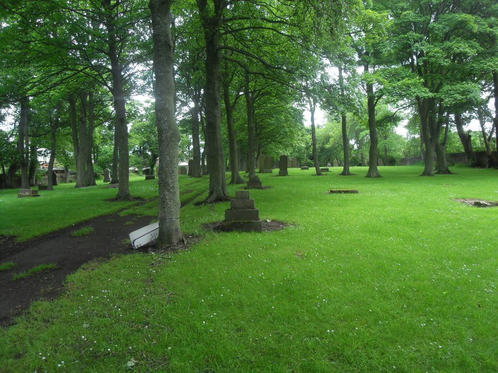
| Description | : | Follow directions for St Thomas's Church, Harelaw, Co Durham and turn into the little rural road beside the Church. Follow this narrow road to the very end and you will reach a high stone wall on your right with a narrow entrance, this is Old Harelaw Cemetery. New Harelaw Cemetery is just a little further up this same road. There is an old Church on the main road but it is now private property and you cannot get access to the graves via this property. |
frequently asked questions (FAQ):
-
Where is Old Harelaw Cemetery?
Old Harelaw Cemetery is located at Harelaw, Annfield Plain Harelaw, Durham Unitary Authority ,County Durham , DH9England.
-
Old Harelaw Cemetery cemetery's updated grave count on graveviews.com?
1 memorials
-
Where are the coordinates of the Old Harelaw Cemetery?
Latitude: 54.8691560
Longitude: -1.7524030


Nearby Cemetories:
1. Harelaw Cemetery
Harelaw, Durham Unitary Authority, England
Coordinate: 54.8687900, -1.7554770
2. St. Thomas Churchyard
Harelaw, Durham Unitary Authority, England
Coordinate: 54.8679000, -1.7495000
3. St. John the Evangelist Graveyard
Dipton, Durham Unitary Authority, England
Coordinate: 54.8731067, -1.7607181
4. Saint Patrick’s Roman Catholic Cemetery
Dipton, Durham Unitary Authority, England
Coordinate: 54.8768300, -1.7516900
5. St John The Evangelist Churchyard
Dipton, Durham Unitary Authority, England
Coordinate: 54.8756390, -1.7657080
6. Mountsett Crematorium
Dipton, Durham Unitary Authority, England
Coordinate: 54.8877540, -1.7454940
7. Our Blessed Lady and St Joseph Churchyard
Leadgate, Durham Unitary Authority, England
Coordinate: 54.8642660, -1.7891290
8. St Ives Churchyard
Iveston, Durham Unitary Authority, England
Coordinate: 54.8609250, -1.7985710
9. St. Ives Churchyard
Leadgate, Durham Unitary Authority, England
Coordinate: 54.8610940, -1.7987850
10. St. George's Churchyard
South Moor, Durham Unitary Authority, England
Coordinate: 54.8570620, -1.7050020
11. St James Churchyard
Burnopfield, Durham Unitary Authority, England
Coordinate: 54.9059910, -1.7428650
12. St. James Churchyard Extension
Burnopfield, Durham Unitary Authority, England
Coordinate: 54.9059970, -1.7428510
13. St. Mary Magdalene Churchyard
Medomsley, Durham Unitary Authority, England
Coordinate: 54.8839400, -1.8161700
14. Lanchester Cemetery
Lanchester, Durham Unitary Authority, England
Coordinate: 54.8268000, -1.7524600
15. St. John's Churchyard
Burnhope, Durham Unitary Authority, England
Coordinate: 54.8323830, -1.6997730
16. All Saints Churchyard
Lanchester, Durham Unitary Authority, England
Coordinate: 54.8208930, -1.7406720
17. Low Westwood Cemetery
Low Westwood, Durham Unitary Authority, England
Coordinate: 54.9008900, -1.8257700
18. Sacred Heart Roman Catholic Cemetery
Low Westwood, Durham Unitary Authority, England
Coordinate: 54.9009080, -1.8258350
19. St Thomas Churchyard
Craghead, Durham Unitary Authority, England
Coordinate: 54.8505370, -1.6664580
20. Low Westwood Christ Churchyard
Low Westwood, Durham Unitary Authority, England
Coordinate: 54.9030390, -1.8246450
21. Hookergate Cemetery
Rowlands Gill, Metropolitan Borough of Gateshead, England
Coordinate: 54.9214632, -1.7744345
22. St Patricks Cemetery
High Spen, Metropolitan Borough of Gateshead, England
Coordinate: 54.9215030, -1.7744860
23. Blackhill Cemetery
Consett, Durham Unitary Authority, England
Coordinate: 54.8609100, -1.8451580
24. St Ebba’s Churchyard
Ebchester, Durham Unitary Authority, England
Coordinate: 54.8938660, -1.8401650