
| Memorials | : | 0 |
| Location | : | Medomsley, Durham Unitary Authority, England |
| Coordinate | : | 54.8839400, -1.8161700 |
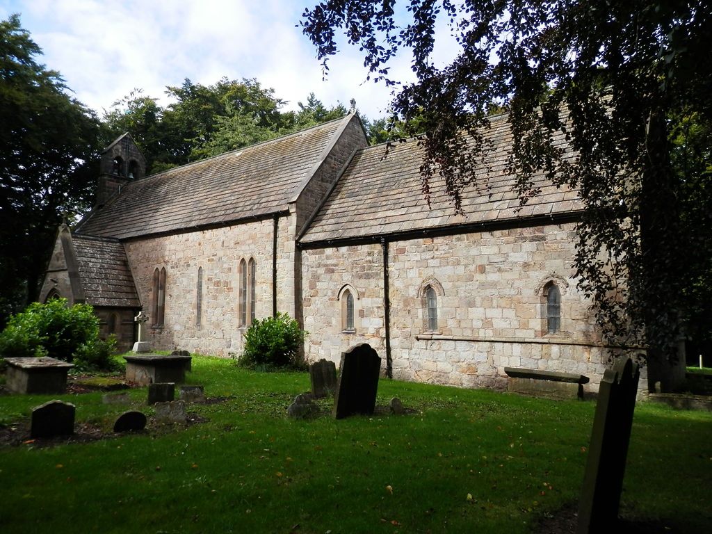
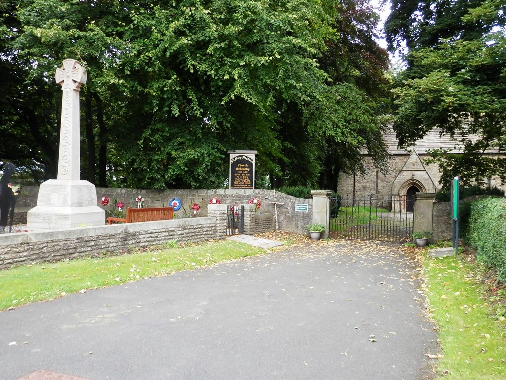
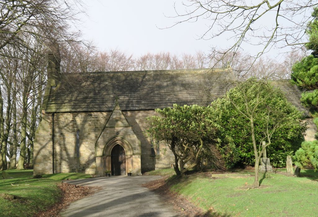
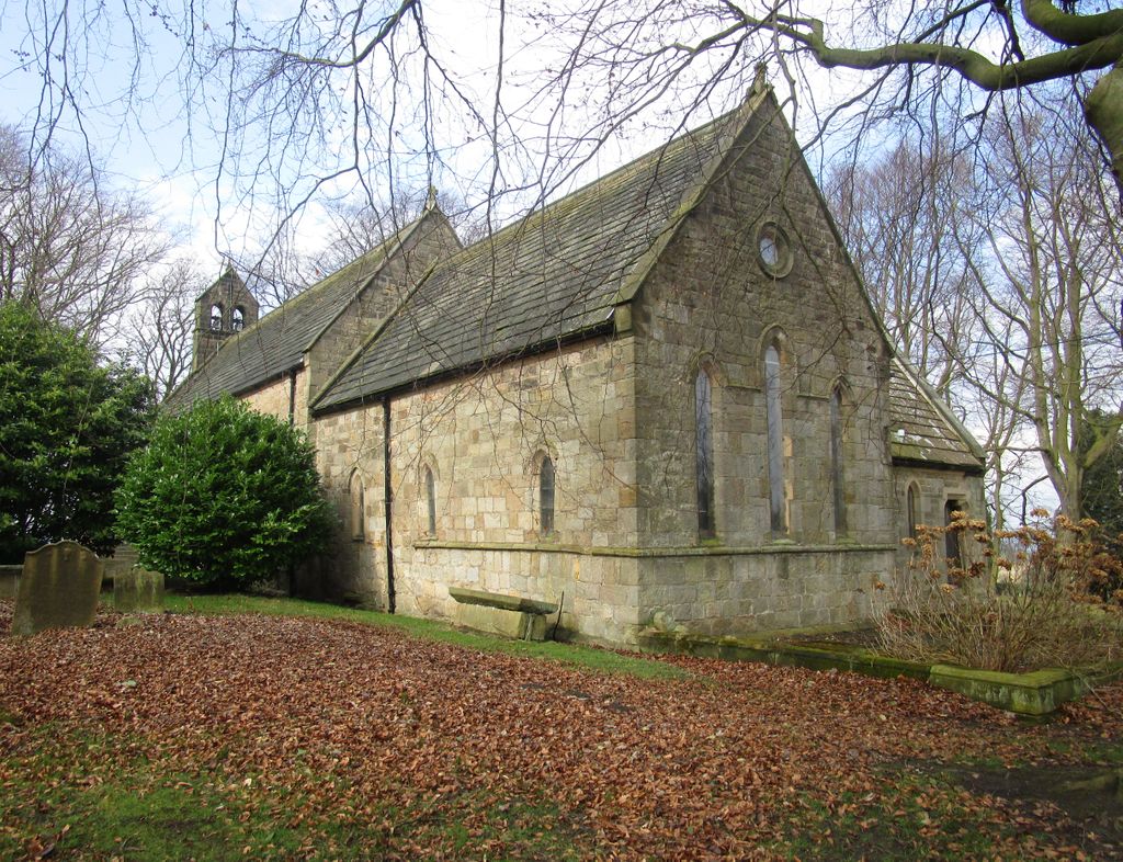
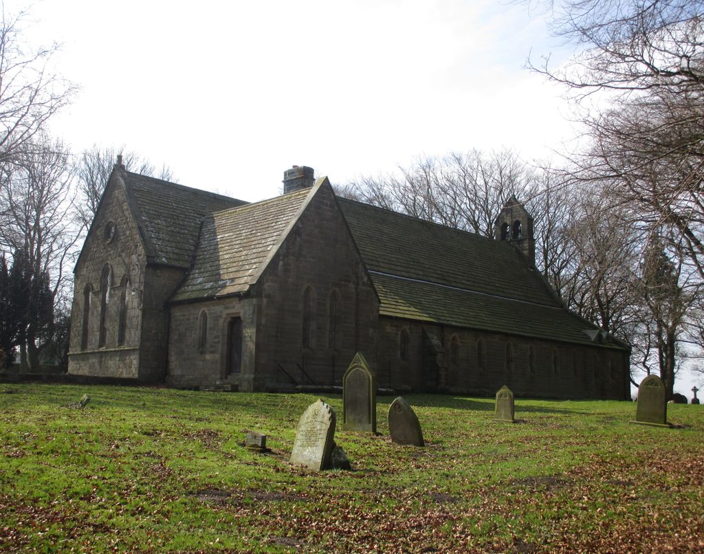
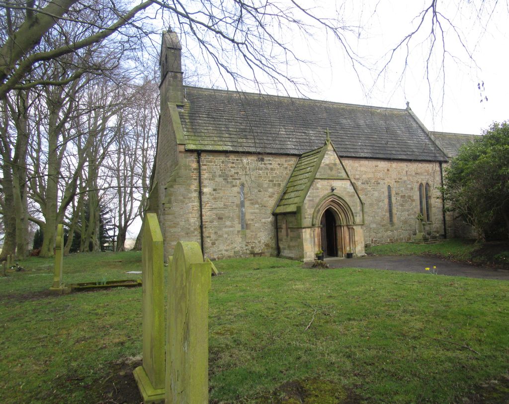
| Description | : | The church was probably built about 1150c and onwards and extended in the late 13th century and restored in the late 19th century. The church had fallen into a state of disrepair by this time, and from 1877–78 it was extensively rebuilt as a new roof and a north aisle were added. Many of its original features were still retained. It was much used by the sword-makers of Shotley Bridge for baptisms and burials. |
frequently asked questions (FAQ):
-
Where is St. Mary Magdalene Churchyard?
St. Mary Magdalene Churchyard is located at Manor Rd. & Fines Rd. Medomsley, Durham Unitary Authority ,County Durham , DH8 6QNEngland.
-
St. Mary Magdalene Churchyard cemetery's updated grave count on graveviews.com?
0 memorials
-
Where are the coordinates of the St. Mary Magdalene Churchyard?
Latitude: 54.8839400
Longitude: -1.8161700

Nearby Cemetories:
1. St Ebba’s Churchyard
Ebchester, Durham Unitary Authority, England
Coordinate: 54.8938660, -1.8401650
2. Low Westwood Cemetery
Low Westwood, Durham Unitary Authority, England
Coordinate: 54.9008900, -1.8257700
3. Sacred Heart Roman Catholic Cemetery
Low Westwood, Durham Unitary Authority, England
Coordinate: 54.9009080, -1.8258350
4. Low Westwood Christ Churchyard
Low Westwood, Durham Unitary Authority, England
Coordinate: 54.9030390, -1.8246450
5. St. Ives Churchyard
Leadgate, Durham Unitary Authority, England
Coordinate: 54.8610940, -1.7987850
6. Our Blessed Lady and St Joseph Churchyard
Leadgate, Durham Unitary Authority, England
Coordinate: 54.8642660, -1.7891290
7. St Ives Churchyard
Iveston, Durham Unitary Authority, England
Coordinate: 54.8609250, -1.7985710
8. Blackhill Cemetery
Consett, Durham Unitary Authority, England
Coordinate: 54.8609100, -1.8451580
9. St John The Evangelist Churchyard
Dipton, Durham Unitary Authority, England
Coordinate: 54.8756390, -1.7657080
10. St. John the Evangelist Graveyard
Dipton, Durham Unitary Authority, England
Coordinate: 54.8731067, -1.7607181
11. Saint Patrick’s Roman Catholic Cemetery
Dipton, Durham Unitary Authority, England
Coordinate: 54.8768300, -1.7516900
12. Harelaw Cemetery
Harelaw, Durham Unitary Authority, England
Coordinate: 54.8687900, -1.7554770
13. Old Harelaw Cemetery
Harelaw, Durham Unitary Authority, England
Coordinate: 54.8691560, -1.7524030
14. St John the Evangelist Churchyard
Chopwell, Metropolitan Borough of Gateshead, England
Coordinate: 54.9236780, -1.8093620
15. Mountsett Crematorium
Dipton, Durham Unitary Authority, England
Coordinate: 54.8877540, -1.7454940
16. St. Thomas Churchyard
Harelaw, Durham Unitary Authority, England
Coordinate: 54.8679000, -1.7495000
17. Hookergate Cemetery
Rowlands Gill, Metropolitan Borough of Gateshead, England
Coordinate: 54.9214632, -1.7744345
18. St Patricks Cemetery
High Spen, Metropolitan Borough of Gateshead, England
Coordinate: 54.9215030, -1.7744860
19. St James Churchyard
Burnopfield, Durham Unitary Authority, England
Coordinate: 54.9059910, -1.7428650
20. St. James Churchyard Extension
Burnopfield, Durham Unitary Authority, England
Coordinate: 54.9059970, -1.7428510
21. Moorside Cemetery
Consett, Durham Unitary Authority, England
Coordinate: 54.8409330, -1.8709330
22. Rowley Burial Ground
Consett, Durham Unitary Authority, England
Coordinate: 54.8262177, -1.8656499
23. Saint Andrew’s Churchyard
Kiln Pit Hill, Northumberland Unitary Authority, England
Coordinate: 54.8916000, -1.9307000
24. Castleside Cemetery
Consett, Durham Unitary Authority, England
Coordinate: 54.8300800, -1.8834900