
| Memorials | : | 0 |
| Location | : | Harelaw, Durham Unitary Authority, England |
| Coordinate | : | 54.8679000, -1.7495000 |
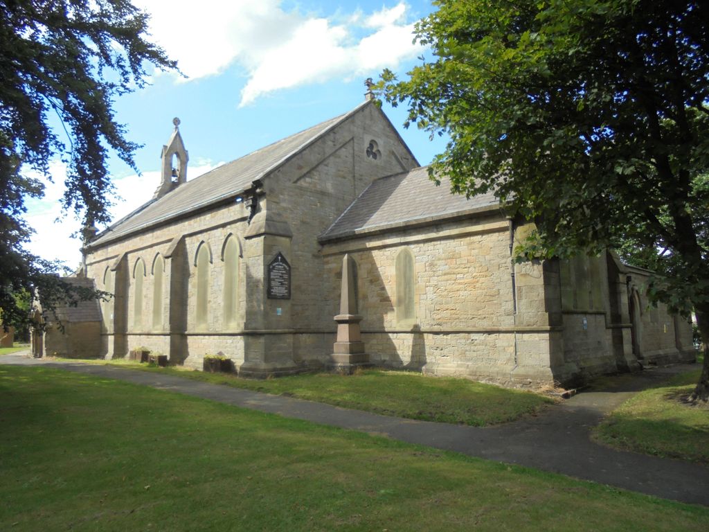
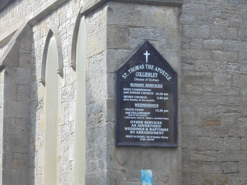
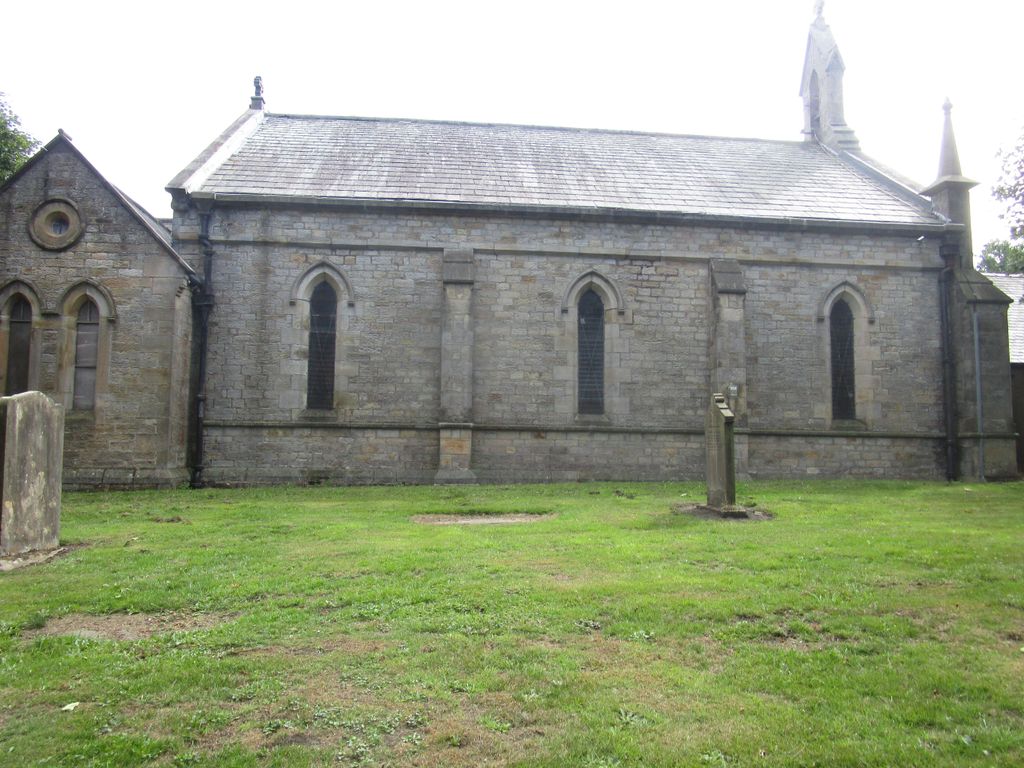
| Description | : | St. Thomas' Church located at: North Road, Burnhope, Annfield Plain, Durham DH9 8PN or St. Thomas' Church, North Road, Harelaw (Annfield Plain) St Thomas' church was built in 1841 by G. Jackson. It features a nave with a south porch, and a chancel with north organ chamber and vestry. It is designed in an early English style. Inside the church there is an octagonal stone font with a pierced ogee cover which was a gift of Dr A. Thorp of Durham. There is a black and white marble monument dedicated to Thomas and Mary Fenwich who died in 1850 and 1856 respectively. The church also... Read More |
frequently asked questions (FAQ):
-
Where is St. Thomas Churchyard?
St. Thomas Churchyard is located at Harelaw, Durham Unitary Authority ,County Durham ,England.
-
St. Thomas Churchyard cemetery's updated grave count on graveviews.com?
0 memorials
-
Where are the coordinates of the St. Thomas Churchyard?
Latitude: 54.8679000
Longitude: -1.7495000

Nearby Cemetories:
1. Old Harelaw Cemetery
Harelaw, Durham Unitary Authority, England
Coordinate: 54.8691560, -1.7524030
2. Harelaw Cemetery
Harelaw, Durham Unitary Authority, England
Coordinate: 54.8687900, -1.7554770
3. St. John the Evangelist Graveyard
Dipton, Durham Unitary Authority, England
Coordinate: 54.8731067, -1.7607181
4. Saint Patrick’s Roman Catholic Cemetery
Dipton, Durham Unitary Authority, England
Coordinate: 54.8768300, -1.7516900
5. St John The Evangelist Churchyard
Dipton, Durham Unitary Authority, England
Coordinate: 54.8756390, -1.7657080
6. Mountsett Crematorium
Dipton, Durham Unitary Authority, England
Coordinate: 54.8877540, -1.7454940
7. Our Blessed Lady and St Joseph Churchyard
Leadgate, Durham Unitary Authority, England
Coordinate: 54.8642660, -1.7891290
8. St. George's Churchyard
South Moor, Durham Unitary Authority, England
Coordinate: 54.8570620, -1.7050020
9. St Ives Churchyard
Iveston, Durham Unitary Authority, England
Coordinate: 54.8609250, -1.7985710
10. St. Ives Churchyard
Leadgate, Durham Unitary Authority, England
Coordinate: 54.8610940, -1.7987850
11. St James Churchyard
Burnopfield, Durham Unitary Authority, England
Coordinate: 54.9059910, -1.7428650
12. St. James Churchyard Extension
Burnopfield, Durham Unitary Authority, England
Coordinate: 54.9059970, -1.7428510
13. Lanchester Cemetery
Lanchester, Durham Unitary Authority, England
Coordinate: 54.8268000, -1.7524600
14. St. Mary Magdalene Churchyard
Medomsley, Durham Unitary Authority, England
Coordinate: 54.8839400, -1.8161700
15. St. John's Churchyard
Burnhope, Durham Unitary Authority, England
Coordinate: 54.8323830, -1.6997730
16. All Saints Churchyard
Lanchester, Durham Unitary Authority, England
Coordinate: 54.8208930, -1.7406720
17. St Thomas Churchyard
Craghead, Durham Unitary Authority, England
Coordinate: 54.8505370, -1.6664580
18. Low Westwood Cemetery
Low Westwood, Durham Unitary Authority, England
Coordinate: 54.9008900, -1.8257700
19. Sacred Heart Roman Catholic Cemetery
Low Westwood, Durham Unitary Authority, England
Coordinate: 54.9009080, -1.8258350
20. Hookergate Cemetery
Rowlands Gill, Metropolitan Borough of Gateshead, England
Coordinate: 54.9214632, -1.7744345
21. Blackhill Cemetery
Consett, Durham Unitary Authority, England
Coordinate: 54.8609100, -1.8451580
22. St Patricks Cemetery
High Spen, Metropolitan Borough of Gateshead, England
Coordinate: 54.9215030, -1.7744860
23. Low Westwood Christ Churchyard
Low Westwood, Durham Unitary Authority, England
Coordinate: 54.9030390, -1.8246450
24. St Ebba’s Churchyard
Ebchester, Durham Unitary Authority, England
Coordinate: 54.8938660, -1.8401650