
| Memorials | : | 0 |
| Location | : | Laurel, Chester County, USA |
| Coordinate | : | 39.9373410, -75.7695410 |
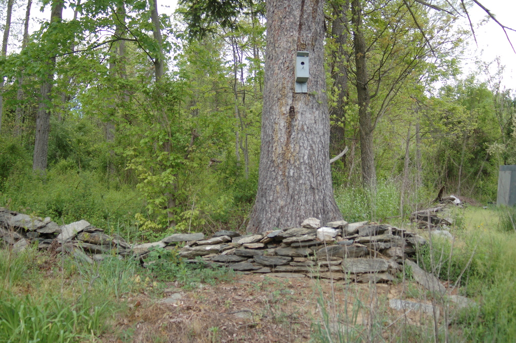
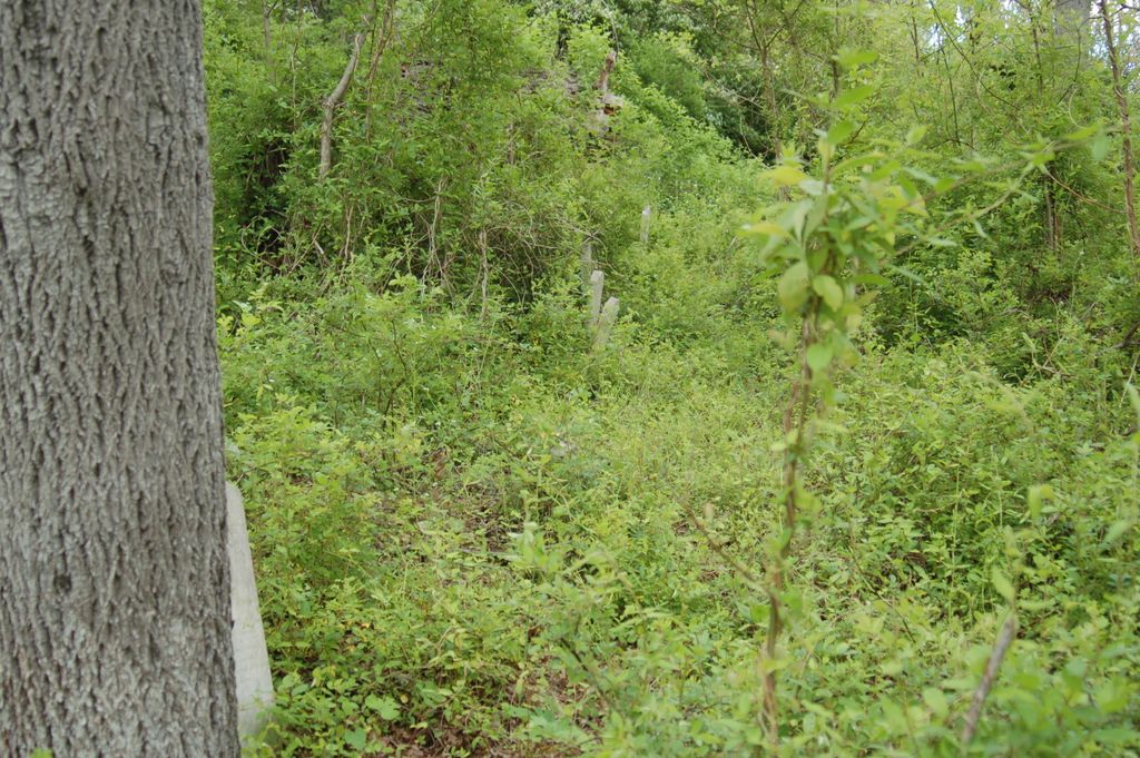
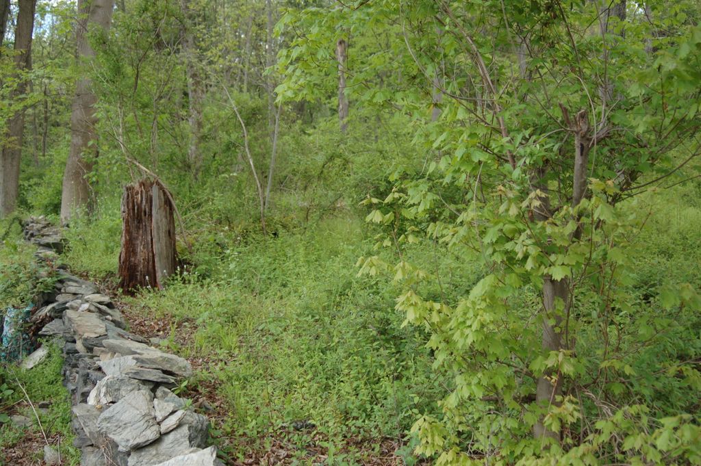
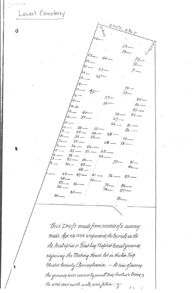
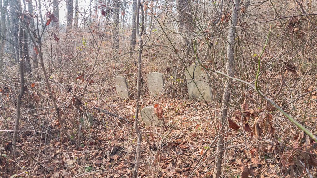
| Description | : | The old Hephzibah Baptist church cemetery has its origins in meetings held by the Anabaptist Society at John Bentley's house in Newlin Township around 1720, near Harvey's Mill. Following John Bentley's decease, the meetings were moved nearby to the house of his son, Jefferey Bentley, who, in 1752, devised a lot of ground to build a meetinghouse and open a new burial ground for the congregation. The new meeting was opened in October of that year. On February 1, 1773, Jesse Bentley officially deeded the 1.5-acre lot on which "the People Called Anabaptists have with the Privity and consent... Read More |
frequently asked questions (FAQ):
-
Where is Old Hephzibah Baptist Church Cemetery?
Old Hephzibah Baptist Church Cemetery is located at 895 Laurel Road Laurel, Chester County ,Pennsylvania , 19320USA.
-
Old Hephzibah Baptist Church Cemetery cemetery's updated grave count on graveviews.com?
0 memorials
-
Where are the coordinates of the Old Hephzibah Baptist Church Cemetery?
Latitude: 39.9373410
Longitude: -75.7695410
Nearby Cemetories:
1. Doe Run Valley Presbyterian Church Cemetery
Coatesville, Chester County, USA
Coordinate: 39.9488000, -75.7900000
2. Romansville Friends Burying Ground
Romansville, Chester County, USA
Coordinate: 39.9536018, -75.7431030
3. Romansville United Methodist Church Cemetery
Romansville, Chester County, USA
Coordinate: 39.9510994, -75.7385025
4. Derry Union American Methodist Episcopal Cemetery
East Fallowfield Township, Chester County, USA
Coordinate: 39.9649185, -75.7764344
5. Hephzibah Baptist Church Cemetery
East Fallowfield Township, Chester County, USA
Coordinate: 39.9505997, -75.8088989
6. Chester County Alms House Cemeteries
Newlin Township, Chester County, USA
Coordinate: 39.9319000, -75.7255000
7. Lutheran Church of the Good Shepherd Columbarium
Coatesville, Chester County, USA
Coordinate: 39.9842680, -75.7891530
8. Fairview Cemetery
Coatesville, Chester County, USA
Coordinate: 39.9789009, -75.8071976
9. Unionville Cemetery
Unionville, Chester County, USA
Coordinate: 39.8950310, -75.7296066
10. Fallowfield Cemetery
Ercildoun, Chester County, USA
Coordinate: 39.9453011, -75.8399963
11. Fallowfield Orthodox Friends Burial Ground
Ercildoun, Chester County, USA
Coordinate: 39.9485240, -75.8412000
12. Church of Christ at Ercildoun Cemetery
Ercildoun, Chester County, USA
Coordinate: 39.9477997, -75.8416977
13. Saint Michael Lutheran Church Columbarium
Unionville, Chester County, USA
Coordinate: 39.8926920, -75.7191700
14. Coatesville Presbyterian Cemetery
Coatesville, Chester County, USA
Coordinate: 39.9831543, -75.8184738
15. Saint Cecelia's Roman Catholic Cemetery
Coatesville, Chester County, USA
Coordinate: 39.9906006, -75.8114014
16. Ebenezer African Methodist Episcopal Cemetery
Unionville, Chester County, USA
Coordinate: 39.8888830, -75.7137970
17. Marlborough Friends Burial Ground
Marlboro, Chester County, USA
Coordinate: 39.8953000, -75.7044000
18. Saint Joseph Cemetery
Downingtown, Chester County, USA
Coordinate: 39.9900017, -75.7155991
19. London Grove Friends Burial Ground
London Grove Township, Chester County, USA
Coordinate: 39.8691500, -75.7743200
20. Bradford Cemetery
Marshallton, Chester County, USA
Coordinate: 39.9474800, -75.6809000
21. Bradford Friends Burying Ground
Marshallton, Chester County, USA
Coordinate: 39.9497000, -75.6802000
22. Caln Orthodox Friends Burial Ground
Coatesville, Chester County, USA
Coordinate: 40.0071710, -75.7634290
23. Old Caln Friends Meeting Burial Ground
Coatesville, Chester County, USA
Coordinate: 40.0074997, -75.7647018
24. Bawa Muhaiyaddeen Fellowship Farm Grounds Cemetery
Coatesville, Chester County, USA
Coordinate: 39.9447330, -75.8618150