| Memorials | : | 2 |
| Location | : | Unionville, Chester County, USA |
| Coordinate | : | 39.8950310, -75.7296066 |
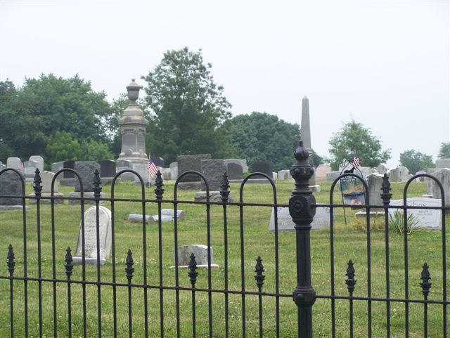
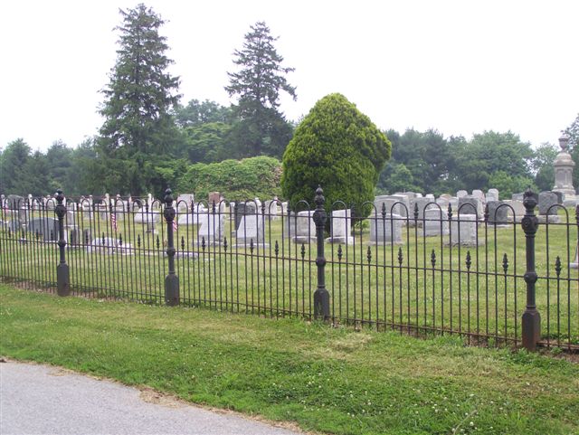
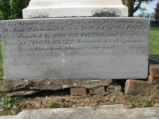
| Description | : | The Unionville Cemetery Company was incorporated in 1855. Its non-denominational cemetery includes an older section on its northwest side that was established by the Unionville Indulged Friends Meeting in 1845. When the Indulged Friends Meeting went defunct, management of this small, separate cemetery was given to the Unionville Cemetery and it is now a part of the larger grounds. |
frequently asked questions (FAQ):
-
Where is Unionville Cemetery?
Unionville Cemetery is located at 1755 W. Doe Run Rd Unionville, Chester County ,Pennsylvania , 19348USA.
-
Unionville Cemetery cemetery's updated grave count on graveviews.com?
2 memorials
-
Where are the coordinates of the Unionville Cemetery?
Latitude: 39.8950310
Longitude: -75.7296066
Nearby Cemetories:
1. Saint Michael Lutheran Church Columbarium
Unionville, Chester County, USA
Coordinate: 39.8926920, -75.7191700
2. Ebenezer African Methodist Episcopal Cemetery
Unionville, Chester County, USA
Coordinate: 39.8888830, -75.7137970
3. Marlborough Friends Burial Ground
Marlboro, Chester County, USA
Coordinate: 39.8953000, -75.7044000
4. Chester County Alms House Cemeteries
Newlin Township, Chester County, USA
Coordinate: 39.9319000, -75.7255000
5. Saint Patrick Roman Catholic Cemetery
Kennett Square, Chester County, USA
Coordinate: 39.8546982, -75.7146988
6. Union Hill Cemetery
Kennett Square, Chester County, USA
Coordinate: 39.8544006, -75.7161026
7. London Grove Friends Burial Ground
London Grove Township, Chester County, USA
Coordinate: 39.8691500, -75.7743200
8. Episcopal Church of the Advent Memorial Garden
Kennett Square, Chester County, USA
Coordinate: 39.8516000, -75.7160000
9. State Street Friends Cemetery (Defunct)
Kennett Square, Chester County, USA
Coordinate: 39.8469195, -75.7087515
10. Longwood Cemetery
Kennett Square, Chester County, USA
Coordinate: 39.8680496, -75.6728821
11. Old Hephzibah Baptist Church Cemetery
Laurel, Chester County, USA
Coordinate: 39.9373410, -75.7695410
12. Romansville United Methodist Church Cemetery
Romansville, Chester County, USA
Coordinate: 39.9510994, -75.7385025
13. Romansville Friends Burying Ground
Romansville, Chester County, USA
Coordinate: 39.9536018, -75.7431030
14. Bradford Cemetery
Marshallton, Chester County, USA
Coordinate: 39.9474800, -75.6809000
15. Parkersville Friends Meeting Cemetery
Parkersville, Chester County, USA
Coordinate: 39.8861008, -75.6447983
16. Bradford Friends Burying Ground
Marshallton, Chester County, USA
Coordinate: 39.9497000, -75.6802000
17. Old Kennett Friends Cemetery
Kennett Square, Chester County, USA
Coordinate: 39.8717041, -75.6472092
18. Pennsbury Union American Methodist Episcopal Cemetery
Pocopson, Chester County, USA
Coordinate: 39.8977440, -75.6413930
19. Marshallton United Methodist Church Cemetery
Marshallton, Chester County, USA
Coordinate: 39.9506989, -75.6769028
20. Crowell's Cemetery
Avondale, Chester County, USA
Coordinate: 39.8373060, -75.7803060
21. Doe Run Valley Presbyterian Church Cemetery
Coatesville, Chester County, USA
Coordinate: 39.9488000, -75.7900000
22. Derry Union American Methodist Episcopal Cemetery
East Fallowfield Township, Chester County, USA
Coordinate: 39.9649185, -75.7764344
23. Bucktoe Cemetery
Kennett Township, Chester County, USA
Coordinate: 39.8148600, -75.7217000
24. New Garden Friends Cemetery
New Garden, Chester County, USA
Coordinate: 39.8153000, -75.7521973


