
| Memorials | : | 2 |
| Location | : | Oneonta, Blount County, USA |
| Coordinate | : | 33.9508018, -86.4638977 |
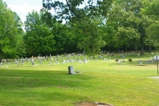
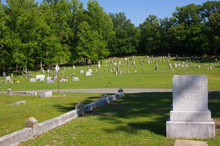
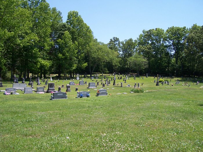
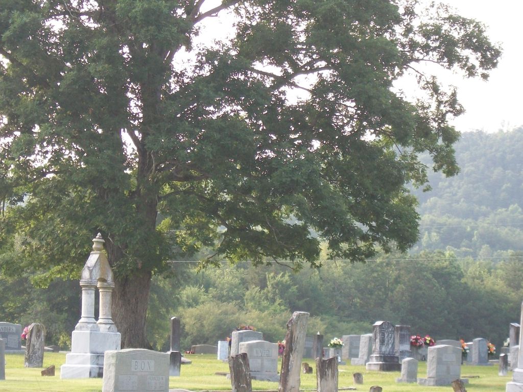
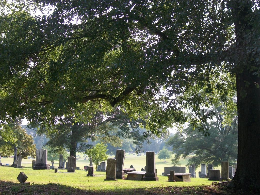
| Description | : | About 1837 a Methodist Church was established near the present site of the Old Liberty Cemetery. It was called "Carolina" because most of the congregation emigrated from South Carolina. The little congregation first worshipped in a small log building and by the mid-1840s the church house was enlarged with a larger structure. After serving on denomination for several years, the Methodists sold the church to the Baptists about 1870. The Baptists renamed the church "Liberty" and worshipped there for the next 30 years until shortly after the turn of the last century when the members elected to abandon the old... Read More |
frequently asked questions (FAQ):
-
Where is Old Liberty Cemetery?
Old Liberty Cemetery is located at Oneonta, Blount County ,Alabama ,USA.
-
Old Liberty Cemetery cemetery's updated grave count on graveviews.com?
1 memorials
-
Where are the coordinates of the Old Liberty Cemetery?
Latitude: 33.9508018
Longitude: -86.4638977
Nearby Cemetories:
1. Oak Hill Cemetery
Oneonta, Blount County, USA
Coordinate: 33.9486008, -86.4672012
2. Clear Springs United Methodist Church Cemetery
Oneonta, Blount County, USA
Coordinate: 33.9480591, -86.4727783
3. Blount Memory Gardens
Oneonta, Blount County, USA
Coordinate: 33.9644012, -86.4319000
4. Mount Carmel Baptist Cemetery
Straight Mountain, Blount County, USA
Coordinate: 33.9292679, -86.4284210
5. William Cornelius Cemetery
Blount County, USA
Coordinate: 33.9302559, -86.5061798
6. Mount Ebell Cemetery
Rosa, Blount County, USA
Coordinate: 33.9956017, -86.4807968
7. Shiloh Cemetery
Chepultepec, Blount County, USA
Coordinate: 33.9068413, -86.4983673
8. Antioch Methodist Cemetery
Oneonta, Blount County, USA
Coordinate: 33.9449997, -86.4000015
9. Tidwell Cemetery
Allgood, Blount County, USA
Coordinate: 33.9141998, -86.5109024
10. Lebanon United Methodist Church Cemetery
Blount County, USA
Coordinate: 34.0008011, -86.4244003
11. Daileys Chapel Cemetery
Rosa, Blount County, USA
Coordinate: 33.9941673, -86.5213852
12. Easley Church of the Brethren Cemetery
Blount County, USA
Coordinate: 33.9602800, -86.5421800
13. Robin Hill Missionary Baptist Cemetery
Straight Mountain, Blount County, USA
Coordinate: 33.9385180, -86.3851550
14. Centre Methodist Cemetery
Oneonta, Blount County, USA
Coordinate: 34.0180660, -86.4455100
15. Chitwood Cemetery
Blount County, USA
Coordinate: 33.9536018, -86.5513992
16. Old Mount Moriah Cemetery
Hoods Crossroads, Blount County, USA
Coordinate: 34.0045900, -86.4031090
17. Hopewell Primitive Baptist Church Cemetery
Taits Gap, Blount County, USA
Coordinate: 33.9655991, -86.3739014
18. Clements Family Cemetery #2
Straight Mountain, Blount County, USA
Coordinate: 33.8888092, -86.4074402
19. Fosters Chapel Cemetery
Straight Mountain, Blount County, USA
Coordinate: 33.8884964, -86.4051132
20. Blackwood-Stephens Cemetery
Cleveland, Blount County, USA
Coordinate: 34.0092010, -86.5382996
21. Painter Cemetery
Blount County, USA
Coordinate: 34.0346985, -86.4210968
22. Bynum Family Cemetery
Ellison Crossroads, Blount County, USA
Coordinate: 34.0158005, -86.3842010
23. Straight Mountain Memory Gardens
Oneonta, Blount County, USA
Coordinate: 33.8735008, -86.3942032
24. Union Hill Church of the Nazarene Cemetery
Straight Mountain, Blount County, USA
Coordinate: 33.9152960, -86.3541860