
| Memorials | : | 1 |
| Location | : | Allgood, Blount County, USA |
| Coordinate | : | 33.9141998, -86.5109024 |
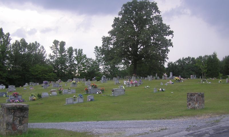
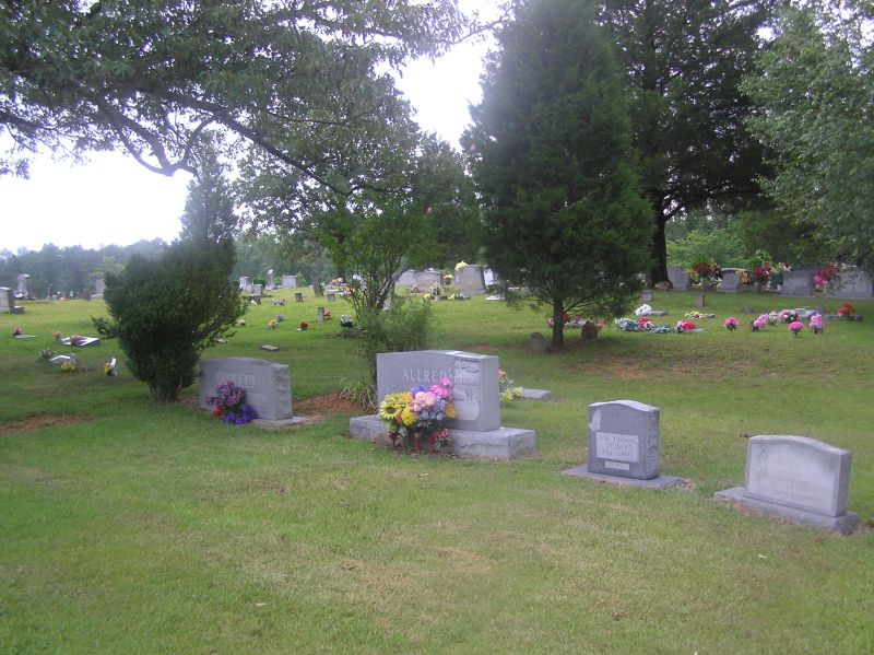
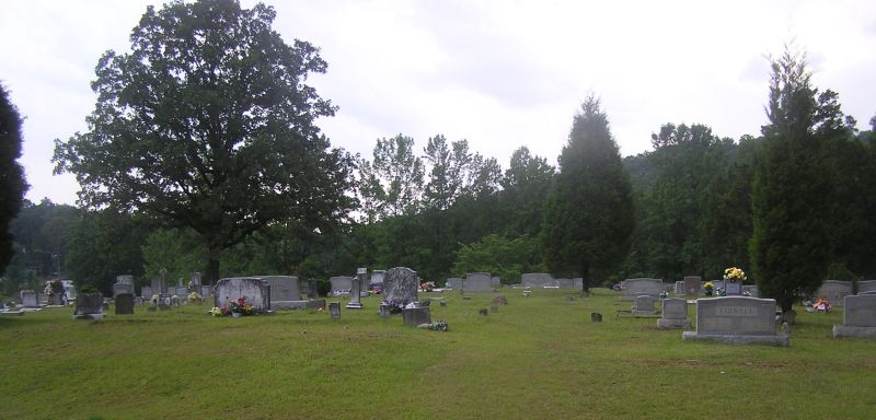
| Description | : | West side of Hwy 75 in Allgood, just north of Co. Rd 1. Service road around cemetery runs parellel with Hwy 75. Cemetery is beside Hwy 75, but not on Hwy 75. |
frequently asked questions (FAQ):
-
Where is Tidwell Cemetery?
Tidwell Cemetery is located at West side of Hwy 75 Allgood, Blount County ,Alabama ,USA.
-
Tidwell Cemetery cemetery's updated grave count on graveviews.com?
1 memorials
-
Where are the coordinates of the Tidwell Cemetery?
Latitude: 33.9141998
Longitude: -86.5109024
Nearby Cemetories:
1. Shiloh Cemetery
Chepultepec, Blount County, USA
Coordinate: 33.9068413, -86.4983673
2. William Cornelius Cemetery
Blount County, USA
Coordinate: 33.9302559, -86.5061798
3. Clear Springs United Methodist Church Cemetery
Oneonta, Blount County, USA
Coordinate: 33.9480591, -86.4727783
4. Oak Hill Cemetery
Oneonta, Blount County, USA
Coordinate: 33.9486008, -86.4672012
5. Chitwood Cemetery
Blount County, USA
Coordinate: 33.9536018, -86.5513992
6. Easley Church of the Brethren Cemetery
Blount County, USA
Coordinate: 33.9602800, -86.5421800
7. Old Liberty Cemetery
Oneonta, Blount County, USA
Coordinate: 33.9508018, -86.4638977
8. Crump Cemetery
Blount County, USA
Coordinate: 33.8880997, -86.5813980
9. Tidwell Cemetery
Deavers Town, Blount County, USA
Coordinate: 33.9272003, -86.5868988
10. Clear Springs Cemetery
Allgood, Blount County, USA
Coordinate: 33.8642006, -86.5642014
11. Mount Carmel Baptist Cemetery
Straight Mountain, Blount County, USA
Coordinate: 33.9292679, -86.4284210
12. Brown-Hudson Cemetery
Locust Fork, Blount County, USA
Coordinate: 33.9152985, -86.6055984
13. Greens Chapel Cemetery
Blount County, USA
Coordinate: 33.9606018, -86.5883026
14. Daileys Chapel Cemetery
Rosa, Blount County, USA
Coordinate: 33.9941673, -86.5213852
15. Blount Memory Gardens
Oneonta, Blount County, USA
Coordinate: 33.9644012, -86.4319000
16. New Hope Methodist Church Cemetery
Holly Springs, Blount County, USA
Coordinate: 33.8307991, -86.4931030
17. Mount Ebell Cemetery
Rosa, Blount County, USA
Coordinate: 33.9956017, -86.4807968
18. Clements Family Cemetery #2
Straight Mountain, Blount County, USA
Coordinate: 33.8888092, -86.4074402
19. Pine Bluff Missionary Baptist Church Cemetery
Locust Fork, Blount County, USA
Coordinate: 33.8978004, -86.6175003
20. Marsh Cemetery
Locust Fork, Blount County, USA
Coordinate: 33.8993988, -86.6184998
21. Fosters Chapel Cemetery
Straight Mountain, Blount County, USA
Coordinate: 33.8884964, -86.4051132
22. Cleveland Methodist Cemetery
Cleveland, Blount County, USA
Coordinate: 33.9892006, -86.5764008
23. Old Presbyterian Church Site Cemetery
Blount County, USA
Coordinate: 33.9858340, -86.5832680
24. Antioch Methodist Cemetery
Oneonta, Blount County, USA
Coordinate: 33.9449997, -86.4000015