| Memorials | : | 0 |
| Location | : | Eastview, McNairy County, USA |
| Coordinate | : | 35.0816048, -88.5349080 |
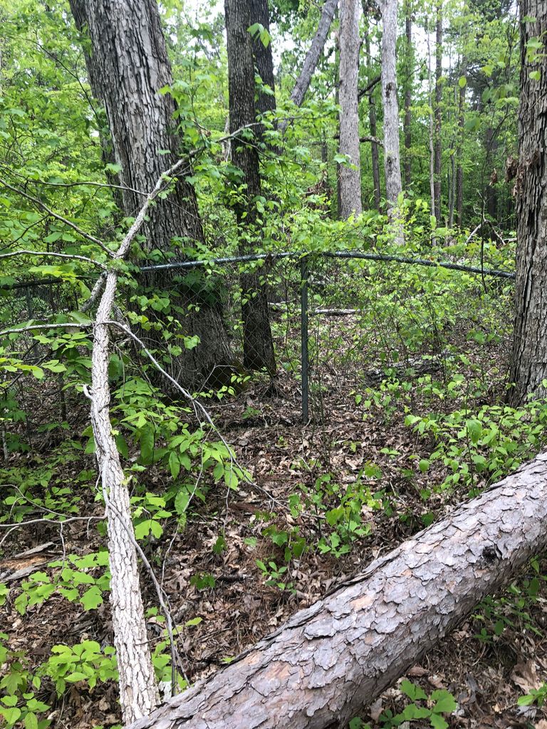
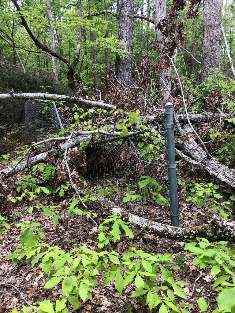
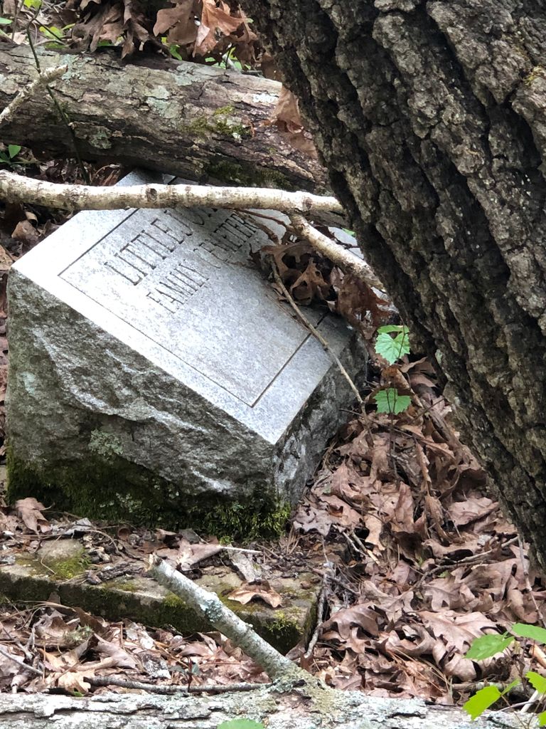
| Description | : | This very old family cemetery is located in Eastview, Tennessee. From the intersection of Highways 45 and 57 in Eastview, take Hwy 57 East. Woodland Circle will be about 3/4 of a mile on the left from the intersection of 45 and 57. Once on Woodland Circle, drive all the way around to the lower (Western) side of the circle. There will be a white Victorian house on a hill. The trail for the cemetery is directly across Woodland Circle from this driveway (it is behind their mailbox). All of this area is private property, including the trail. You will... Read More |
frequently asked questions (FAQ):
-
Where is Old Littlejohn Cemetery?
Old Littlejohn Cemetery is located at Woodland Circle Eastview, McNairy County ,Tennessee , 38367USA.
-
Old Littlejohn Cemetery cemetery's updated grave count on graveviews.com?
0 memorials
-
Where are the coordinates of the Old Littlejohn Cemetery?
Latitude: 35.0816048
Longitude: -88.5349080
Nearby Cemetories:
1. Gravel Hill Baptist Church Cemetery
Gravel Hill, McNairy County, USA
Coordinate: 35.0869350, -88.5253090
2. Huggins Cemetery
Guys, McNairy County, USA
Coordinate: 35.0854860, -88.5219300
3. Eastview Baptist Church Cemetery
Selmer, McNairy County, USA
Coordinate: 35.0752460, -88.5467150
4. Damron Cemetery
Eastview, McNairy County, USA
Coordinate: 35.0671720, -88.5515710
5. Richards Cemetery
Eastview, McNairy County, USA
Coordinate: 35.0557070, -88.5356880
6. Houston Cemetery
Guys, McNairy County, USA
Coordinate: 35.0580500, -88.5589390
7. Mount Vernon Church Cemetery
Eastview, McNairy County, USA
Coordinate: 35.0706120, -88.5714030
8. Prather Cemetery
Selmer, McNairy County, USA
Coordinate: 35.0990860, -88.5695710
9. Pleasant Grove Cemetery
Selmer, McNairy County, USA
Coordinate: 35.1116160, -88.5604710
10. Spring Hill Cemetery
Selmer, McNairy County, USA
Coordinate: 35.1193700, -88.5061040
11. New Hope Church Cemetery
Eastview, McNairy County, USA
Coordinate: 35.0487200, -88.4960850
12. Sand Hill Church Cemetery
Michie, McNairy County, USA
Coordinate: 35.0939820, -88.4807960
13. Hope McNairy County Memorial Cemetery
Selmer, McNairy County, USA
Coordinate: 35.1221970, -88.5618700
14. Guys Cemetery
Guys, McNairy County, USA
Coordinate: 35.0311012, -88.5541992
15. Pleasant Site Church Cemetery
Stantonville, McNairy County, USA
Coordinate: 35.1248340, -88.4950890
16. Barnhill Cemetery
Guys, McNairy County, USA
Coordinate: 35.0232560, -88.5513970
17. Meeks Family Cemetery
Guys, McNairy County, USA
Coordinate: 35.0188720, -88.5270830
18. Wardlow Cemetery
Michie, McNairy County, USA
Coordinate: 35.1005840, -88.4605110
19. Adams Chapel Cemetery
Ramer, McNairy County, USA
Coordinate: 35.0336150, -88.5887330
20. Ramer Baptist Cemetery
Ramer, McNairy County, USA
Coordinate: 35.0732300, -88.6146650
21. Concord Cemetery
Guys, McNairy County, USA
Coordinate: 35.0216300, -88.5709030
22. Lorraine Baptist Church Cemetery
Guys, McNairy County, USA
Coordinate: 35.0195860, -88.5032110
23. Prospect Church Cemetery
Selmer, McNairy County, USA
Coordinate: 35.1453460, -88.5053200
24. Ramer Cemetery
Ramer, McNairy County, USA
Coordinate: 35.0772870, -88.6183260


