
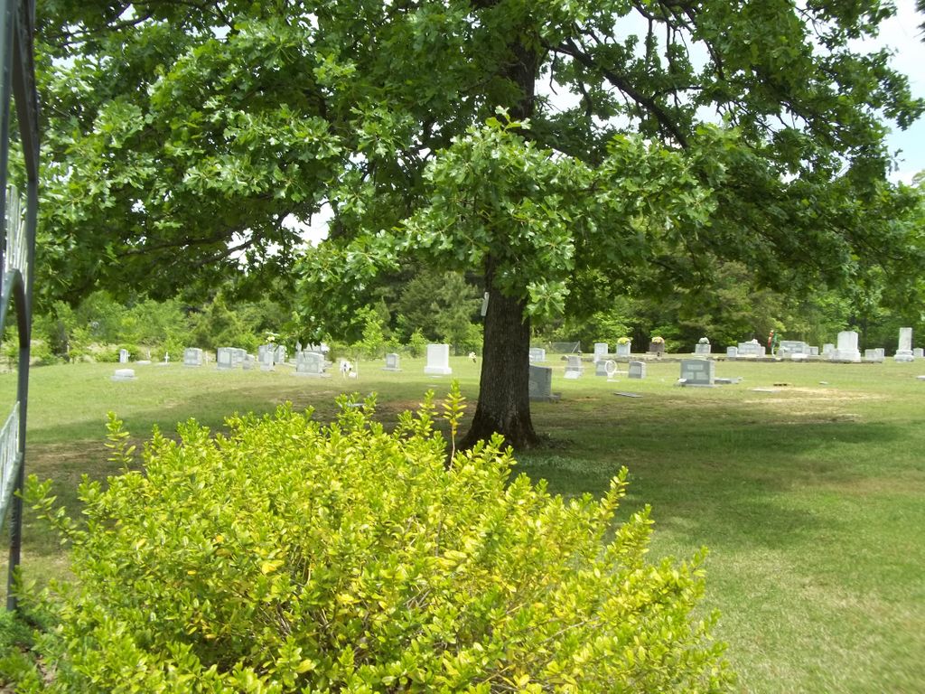
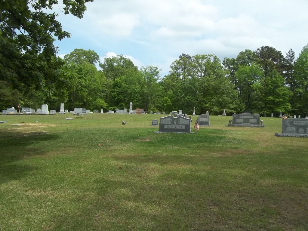
| Memorials | : | 1 |
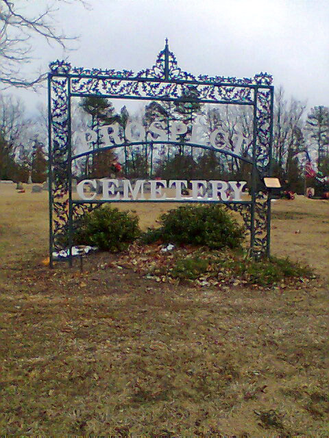
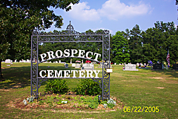
| Location | : | Selmer, McNairy County, USA |
| Coordinate | : | 35.1453460, -88.5053200 |
| Description | : | From the intersection of Pleasant Site Rd. & Tn-142 W, west of Stantonville, travel south on Pleasant Site Rd. for 0.1 mi.; turning east (left) into the driveway for the cemetery & much earlier for the old church. |
frequently asked questions (FAQ):
-
Where is Prospect Church Cemetery?
Prospect Church Cemetery is located at 181 Pleasant Site Road Selmer, McNairy County ,Tennessee , 38375USA.
-
Prospect Church Cemetery cemetery's updated grave count on graveviews.com?
1 memorials
-
Where are the coordinates of the Prospect Church Cemetery?
Latitude: 35.1453460
Longitude: -88.5053200

Nearby Cemetories:
1. Union Grove Church Cemetery
Selmer, McNairy County, USA
Coordinate: 35.1463330, -88.5071040
2. Pleasant Site Church Cemetery
Stantonville, McNairy County, USA
Coordinate: 35.1248340, -88.4950890
3. Mount Zion Cemetery
Stantonville, McNairy County, USA
Coordinate: 35.1499480, -88.4779570
4. Spring Hill Cemetery
Selmer, McNairy County, USA
Coordinate: 35.1193700, -88.5061040
5. Erwin Cemetery
McNairy County, USA
Coordinate: 35.1483190, -88.4735440
6. Fellowship Baptist Church Cemetery
Selmer, McNairy County, USA
Coordinate: 35.1519470, -88.5456420
7. Sanders Cemetery #4
Stantonville, McNairy County, USA
Coordinate: 35.1793350, -88.4793370
8. Pounds Cemetery
Stantonville, McNairy County, USA
Coordinate: 35.1889630, -88.4763830
9. Fink Cemetery
Purdy, McNairy County, USA
Coordinate: 35.1898540, -88.4780670
10. Hope McNairy County Memorial Cemetery
Selmer, McNairy County, USA
Coordinate: 35.1221970, -88.5618700
11. Poor Farm Cemetery
McNairy County, USA
Coordinate: 35.1802990, -88.5564760
12. Sand Hill Church Cemetery
Michie, McNairy County, USA
Coordinate: 35.0939820, -88.4807960
13. Warren Cemetery
Selmer, McNairy County, USA
Coordinate: 35.1775480, -88.5603820
14. Pleasant Grove Cemetery
Selmer, McNairy County, USA
Coordinate: 35.1116160, -88.5604710
15. McCullar Family Cemetery
Selmer, McNairy County, USA
Coordinate: 35.1642580, -88.5716610
16. Wardlow Cemetery
Michie, McNairy County, USA
Coordinate: 35.1005840, -88.4605110
17. Mount Zion MB Church Cemetery
Selmer, McNairy County, USA
Coordinate: 35.1730920, -88.5710370
18. Gravel Hill Baptist Church Cemetery
Gravel Hill, McNairy County, USA
Coordinate: 35.0869350, -88.5253090
19. Huggins Cemetery
Guys, McNairy County, USA
Coordinate: 35.0854860, -88.5219300
20. Stantonville Cemetery
Stantonville, McNairy County, USA
Coordinate: 35.1585460, -88.4311860
21. McKenzie Cemetery
Stantonville, McNairy County, USA
Coordinate: 35.1788640, -88.4397660
22. Cobb Cemetery
Stantonville, McNairy County, USA
Coordinate: 35.1706640, -88.4320490
23. Clear Creek Church Cemetery
New Lawton, McNairy County, USA
Coordinate: 35.2059380, -88.4723690
24. Brooks Cemetery
Purdy, McNairy County, USA
Coordinate: 35.2082660, -88.5330580