
| Memorials | : | 0 |
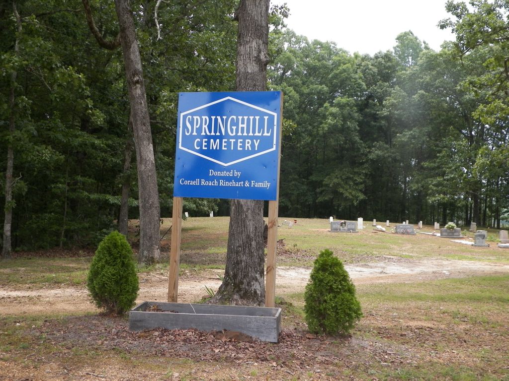
| Location | : | Selmer, McNairy County, USA |
| Coordinate | : | 35.1193700, -88.5061040 |
| Description | : | From the intersection of Pleasant Site Rd. & TN-142 W, west of Selmer, travel 1.8 mi.; turning east (right) onto Gravel Hill Rd., just past the Pleasant Site Church & Cemetery, going 0.7 mi. to a fork in the road, continuing on Gravel Hill Rd., (the left fork, don't take the right fork) for another 0.2 mi.; turning east (left) into the driveway of the cemetery, in a small clearing. |
frequently asked questions (FAQ):
-
Where is Spring Hill Cemetery?
Spring Hill Cemetery is located at 4301-4765 Gravel Hill Rd Selmer, McNairy County ,Tennessee , 38375USA.
-
Spring Hill Cemetery cemetery's updated grave count on graveviews.com?
0 memorials
-
Where are the coordinates of the Spring Hill Cemetery?
Latitude: 35.1193700
Longitude: -88.5061040
Nearby Cemetories:
1. Pleasant Site Church Cemetery
Stantonville, McNairy County, USA
Coordinate: 35.1248340, -88.4950890
2. Prospect Church Cemetery
Selmer, McNairy County, USA
Coordinate: 35.1453460, -88.5053200
3. Union Grove Church Cemetery
Selmer, McNairy County, USA
Coordinate: 35.1463330, -88.5071040
4. Sand Hill Church Cemetery
Michie, McNairy County, USA
Coordinate: 35.0939820, -88.4807960
5. Gravel Hill Baptist Church Cemetery
Gravel Hill, McNairy County, USA
Coordinate: 35.0869350, -88.5253090
6. Huggins Cemetery
Guys, McNairy County, USA
Coordinate: 35.0854860, -88.5219300
7. Mount Zion Cemetery
Stantonville, McNairy County, USA
Coordinate: 35.1499480, -88.4779570
8. Erwin Cemetery
McNairy County, USA
Coordinate: 35.1483190, -88.4735440
9. Wardlow Cemetery
Michie, McNairy County, USA
Coordinate: 35.1005840, -88.4605110
10. Old Littlejohn Cemetery
Eastview, McNairy County, USA
Coordinate: 35.0816048, -88.5349080
11. Pleasant Grove Cemetery
Selmer, McNairy County, USA
Coordinate: 35.1116160, -88.5604710
12. Hope McNairy County Memorial Cemetery
Selmer, McNairy County, USA
Coordinate: 35.1221970, -88.5618700
13. Fellowship Baptist Church Cemetery
Selmer, McNairy County, USA
Coordinate: 35.1519470, -88.5456420
14. Eastview Baptist Church Cemetery
Selmer, McNairy County, USA
Coordinate: 35.0752460, -88.5467150
15. Prather Cemetery
Selmer, McNairy County, USA
Coordinate: 35.0990860, -88.5695710
16. Sanders Cemetery #4
Stantonville, McNairy County, USA
Coordinate: 35.1793350, -88.4793370
17. Damron Cemetery
Eastview, McNairy County, USA
Coordinate: 35.0671720, -88.5515710
18. Richards Cemetery
Eastview, McNairy County, USA
Coordinate: 35.0557070, -88.5356880
19. McCullar Family Cemetery
Selmer, McNairy County, USA
Coordinate: 35.1642580, -88.5716610
20. Pebble Hill Church Cemetery
Michie, McNairy County, USA
Coordinate: 35.0995510, -88.4230940
21. New Hope Church Cemetery
Eastview, McNairy County, USA
Coordinate: 35.0487200, -88.4960850
22. Mount Vernon Church Cemetery
Eastview, McNairy County, USA
Coordinate: 35.0706120, -88.5714030
23. Falcon Cemetery
Selmer, McNairy County, USA
Coordinate: 35.1420180, -88.5904980
24. Stantonville Cemetery
Stantonville, McNairy County, USA
Coordinate: 35.1585460, -88.4311860