
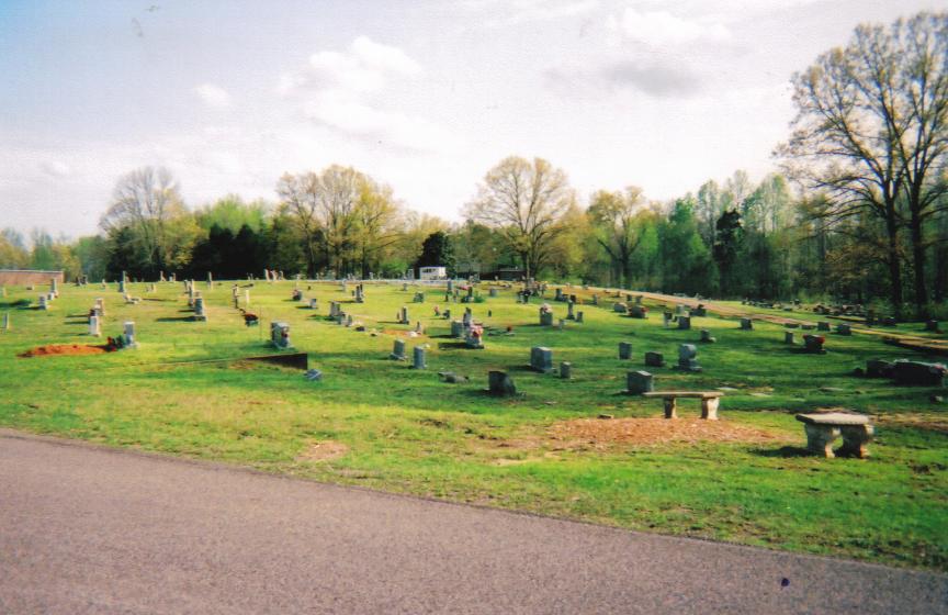
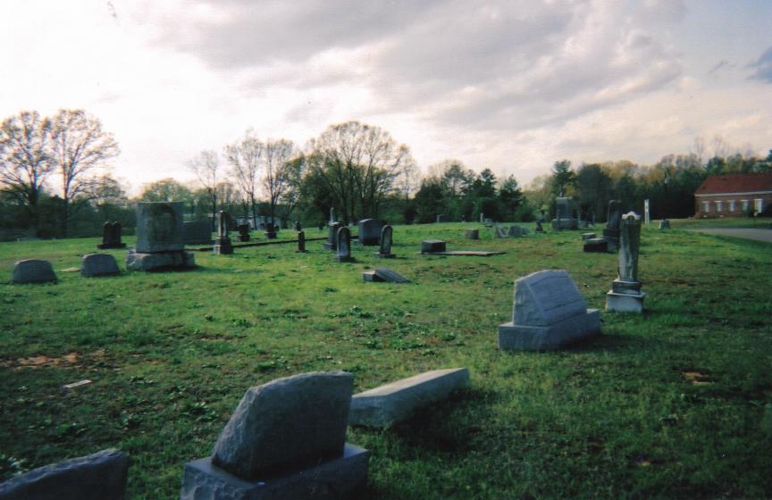
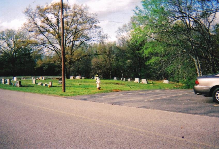
| Memorials | : | 4 |
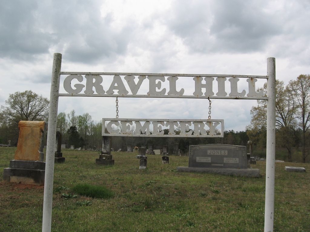
| Location | : | Gravel Hill, McNairy County, USA |
| Coordinate | : | 35.0869350, -88.5253090 |
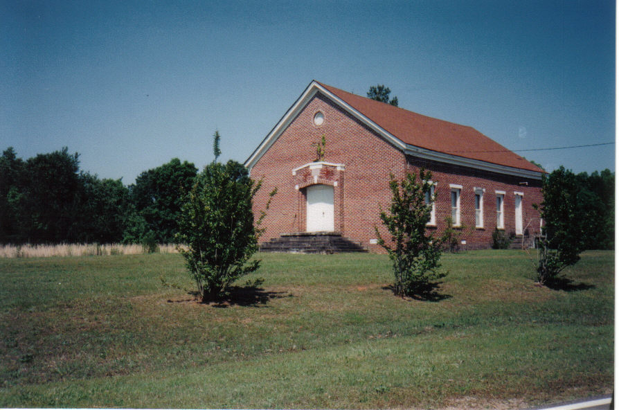
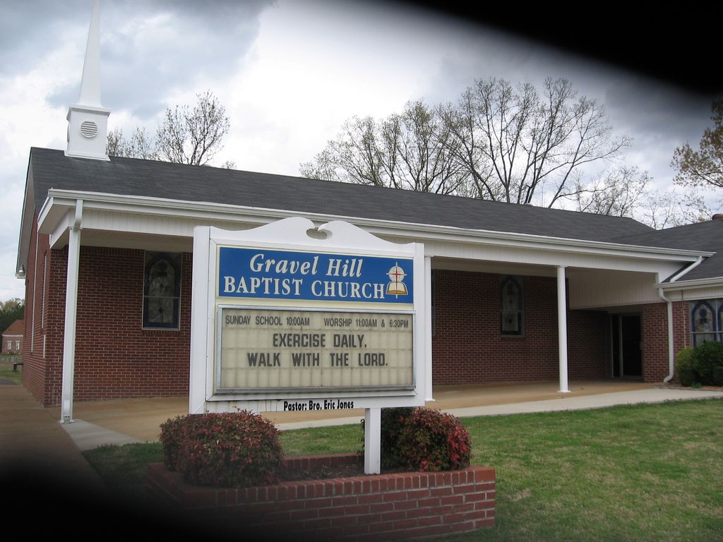
| Description | : | From the intersection of Tom Baker Rd. & TN-57 W, east of Eastview, travel north on Tom Baker Rd. for 0.7 mi., just past the Gravel Hill Baptist Church, the cemetery is located on both sides of the highway for more than 100 yards. |
frequently asked questions (FAQ):
-
Where is Gravel Hill Baptist Church Cemetery?
Gravel Hill Baptist Church Cemetery is located at 41 Tom Baker Rd Gravel Hill, McNairy County ,Tennessee , 38339USA.
-
Gravel Hill Baptist Church Cemetery cemetery's updated grave count on graveviews.com?
4 memorials
-
Where are the coordinates of the Gravel Hill Baptist Church Cemetery?
Latitude: 35.0869350
Longitude: -88.5253090
Nearby Cemetories:
1. Huggins Cemetery
Guys, McNairy County, USA
Coordinate: 35.0854860, -88.5219300
2. Old Littlejohn Cemetery
Eastview, McNairy County, USA
Coordinate: 35.0816048, -88.5349080
3. Eastview Baptist Church Cemetery
Selmer, McNairy County, USA
Coordinate: 35.0752460, -88.5467150
4. Damron Cemetery
Eastview, McNairy County, USA
Coordinate: 35.0671720, -88.5515710
5. Richards Cemetery
Eastview, McNairy County, USA
Coordinate: 35.0557070, -88.5356880
6. Spring Hill Cemetery
Selmer, McNairy County, USA
Coordinate: 35.1193700, -88.5061040
7. Sand Hill Church Cemetery
Michie, McNairy County, USA
Coordinate: 35.0939820, -88.4807960
8. Pleasant Grove Cemetery
Selmer, McNairy County, USA
Coordinate: 35.1116160, -88.5604710
9. Prather Cemetery
Selmer, McNairy County, USA
Coordinate: 35.0990860, -88.5695710
10. Houston Cemetery
Guys, McNairy County, USA
Coordinate: 35.0580500, -88.5589390
11. Mount Vernon Church Cemetery
Eastview, McNairy County, USA
Coordinate: 35.0706120, -88.5714030
12. New Hope Church Cemetery
Eastview, McNairy County, USA
Coordinate: 35.0487200, -88.4960850
13. Pleasant Site Church Cemetery
Stantonville, McNairy County, USA
Coordinate: 35.1248340, -88.4950890
14. Hope McNairy County Memorial Cemetery
Selmer, McNairy County, USA
Coordinate: 35.1221970, -88.5618700
15. Wardlow Cemetery
Michie, McNairy County, USA
Coordinate: 35.1005840, -88.4605110
16. Guys Cemetery
Guys, McNairy County, USA
Coordinate: 35.0311012, -88.5541992
17. Prospect Church Cemetery
Selmer, McNairy County, USA
Coordinate: 35.1453460, -88.5053200
18. Union Grove Church Cemetery
Selmer, McNairy County, USA
Coordinate: 35.1463330, -88.5071040
19. Fellowship Baptist Church Cemetery
Selmer, McNairy County, USA
Coordinate: 35.1519470, -88.5456420
20. Barnhill Cemetery
Guys, McNairy County, USA
Coordinate: 35.0232560, -88.5513970
21. Meeks Family Cemetery
Guys, McNairy County, USA
Coordinate: 35.0188720, -88.5270830
22. Lorraine Baptist Church Cemetery
Guys, McNairy County, USA
Coordinate: 35.0195860, -88.5032110
23. Whitehouse Cemetery
Michie, McNairy County, USA
Coordinate: 35.0271360, -88.4753410
24. Mount Zion Cemetery
Stantonville, McNairy County, USA
Coordinate: 35.1499480, -88.4779570