
| Memorials | : | 2 |
| Location | : | Ogle, Clay County, USA |
| Coordinate | : | 37.0250720, -83.7184370 |
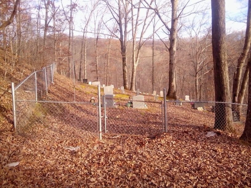
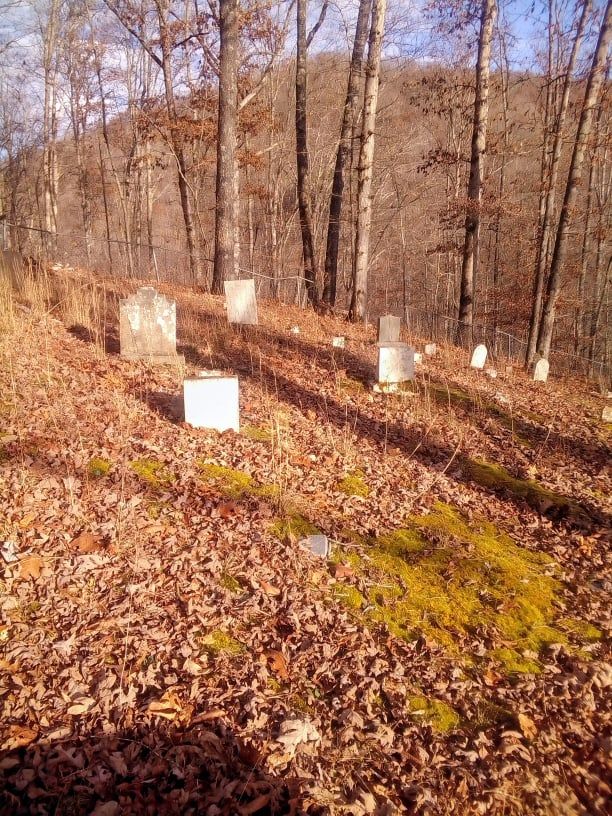
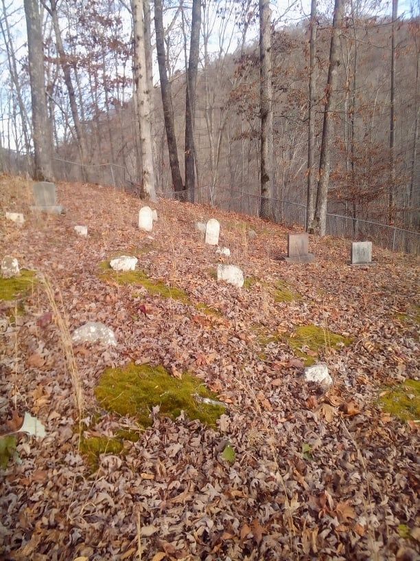
| Description | : | Turn on to 1524 until you reach Otter Creek Road. Turn onto Otter Creek Road go over the second bridge and go about 3 miles. There is a small bridge before you get to Swafford Cemetery Road it looks like a old logging road to the right and it goes up a hill (you will need a 4x4 or if you walk up there be in good shape LOL). There are two other Swafford Cemeteries (one is on Otter Creek and other is above this one on Swafford Cemetery Road.) |
frequently asked questions (FAQ):
-
Where is Old Swafford?
Old Swafford is located at Ogle, Clay County ,Kentucky ,USA.
-
Old Swafford cemetery's updated grave count on graveviews.com?
2 memorials
-
Where are the coordinates of the Old Swafford?
Latitude: 37.0250720
Longitude: -83.7184370
Nearby Cemetories:
1. Duff Cemetery
Ogle, Clay County, USA
Coordinate: 37.0293190, -83.7129090
2. Swafford Cemetery
Ogle, Clay County, USA
Coordinate: 37.0213800, -83.7308600
3. William Trigg Swafford Cemetery
Ogle, Clay County, USA
Coordinate: 37.0214367, -83.7312182
4. Mayfork Community Cemetery
Otter Creek, Clay County, USA
Coordinate: 37.0295986, -83.6934598
5. Wiley Smith Cemetery
Lincoln, Clay County, USA
Coordinate: 37.0519350, -83.7386780
6. Sizemore-Asher Cemetery
Lincoln, Clay County, USA
Coordinate: 37.0491650, -83.7456360
7. Abner-Stewart Cemetery
Bluehole, Clay County, USA
Coordinate: 37.0491650, -83.7456820
8. Buzzard Creek Cemetery
Manchester, Clay County, USA
Coordinate: 37.0459251, -83.7499364
9. Swafford Branch Cemetery
Lincoln, Clay County, USA
Coordinate: 37.0597800, -83.7239600
10. Reid Cemetery
Lincoln, Clay County, USA
Coordinate: 37.0587300, -83.7398300
11. Mills Cemetery
Brightshade, Clay County, USA
Coordinate: 36.9909940, -83.6926450
12. Ted Woods Cemetery
Ogle, Clay County, USA
Coordinate: 37.0543800, -83.6774900
13. John Woods Sr. Cemetery
Brightshade, Clay County, USA
Coordinate: 37.0569200, -83.6790100
14. Smallwood Cemetery
Brightshade, Clay County, USA
Coordinate: 37.0363130, -83.6608080
15. Andy Hubbard Cemetery
Brightshade, Clay County, USA
Coordinate: 37.0275400, -83.6584200
16. Farmer Smith Cemetery
Goose Rock, Clay County, USA
Coordinate: 37.0519130, -83.6679080
17. Napier Cemetery
Lincoln, Clay County, USA
Coordinate: 37.0728420, -83.7292790
18. Charlie Hubbard Cemetery
Goose Rock, Clay County, USA
Coordinate: 37.0682980, -83.6886840
19. Speed Smith Cemetery
Ogle, Clay County, USA
Coordinate: 37.0534900, -83.6667700
20. Smith-Gray Cemetery
Goose Rock, Clay County, USA
Coordinate: 37.0568600, -83.6691890
21. Wagers Cemetery
Brightshade, Clay County, USA
Coordinate: 37.0220060, -83.6523220
22. Woods Cemetery
Goose Rock, Clay County, USA
Coordinate: 37.0715870, -83.6857860
23. Scalf Family Cemetery
Hammond, Knox County, USA
Coordinate: 36.9707230, -83.7184170
24. Eversole Cemetery
Brightshade, Clay County, USA
Coordinate: 37.0218620, -83.6504270