
| Memorials | : | 2 |
| Location | : | Goose Rock, Clay County, USA |
| Coordinate | : | 37.0715870, -83.6857860 |
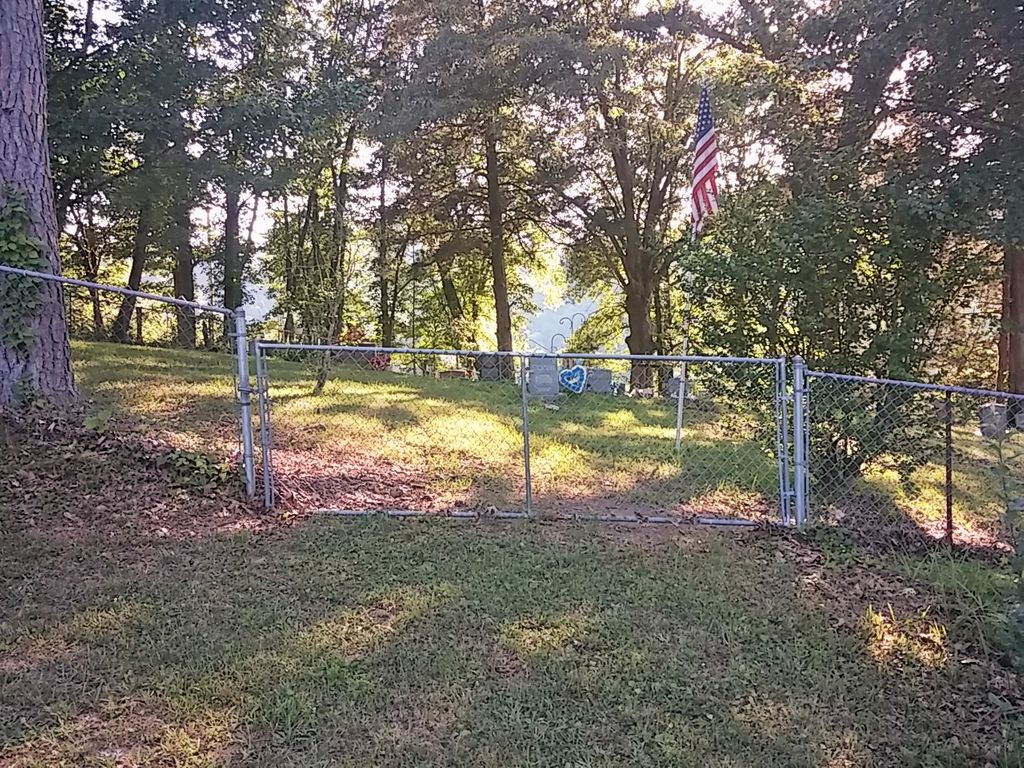
| Description | : | Take Hwy 1524 past Goose Rock Elementary and past the junction of Hwy 2000/Martin's Creek. About a half mile past the junction of Hwy 2000, turn right on the road that goes behind the old Woodrow Woods store. Take this road around the hill. Right before the road dead ends at a house, there is a small paved road that cuts off to the left. Take this small road up the hill. At the top of the hill, the cemetery will be on the right, across a very small field. |
frequently asked questions (FAQ):
-
Where is Woods Cemetery?
Woods Cemetery is located at Goose Rock, Clay County ,Kentucky ,USA.
-
Woods Cemetery cemetery's updated grave count on graveviews.com?
2 memorials
-
Where are the coordinates of the Woods Cemetery?
Latitude: 37.0715870
Longitude: -83.6857860
Nearby Cemetories:
1. Walter and Ethel Woods Memorial Cemetery
Goose Rock, Clay County, USA
Coordinate: 37.0736270, -83.6834240
2. Charlie Hubbard Cemetery
Goose Rock, Clay County, USA
Coordinate: 37.0682980, -83.6886840
3. Tip Smith Cemetery
Goose Rock, Clay County, USA
Coordinate: 37.0779680, -83.6823570
4. Howard Cemetery
Lake, Laurel County, USA
Coordinate: 37.0784480, -83.6793570
5. Goose Rock Cemetery
Goose Rock, Clay County, USA
Coordinate: 37.0793910, -83.6947570
6. W O Wagers Cemetery
Plank, Clay County, USA
Coordinate: 37.0735000, -83.6699900
7. Cleveland Marcum Cemetery
Botto, Clay County, USA
Coordinate: 37.0868100, -83.6845200
8. John Woods Sr. Cemetery
Brightshade, Clay County, USA
Coordinate: 37.0569200, -83.6790100
9. Hollen Cemetery
Botto, Clay County, USA
Coordinate: 37.0852200, -83.6758700
10. Hibbard-Sevier Cemetery
Goose Rock, Clay County, USA
Coordinate: 37.0872400, -83.6948000
11. Ted Woods Cemetery
Ogle, Clay County, USA
Coordinate: 37.0543800, -83.6774900
12. Jackson Family Cemetery
Botto, Clay County, USA
Coordinate: 37.0876500, -83.6742500
13. Myers Cemetery
Goose Rock, Clay County, USA
Coordinate: 37.0906600, -83.6908200
14. Smith-Gray Cemetery
Goose Rock, Clay County, USA
Coordinate: 37.0568600, -83.6691890
15. Smith Cemetery #12
Goose Rock, Clay County, USA
Coordinate: 37.0928400, -83.6804400
16. Sevier Cemetery
Goose Rock, Clay County, USA
Coordinate: 37.0836030, -83.7087690
17. Lipps Cemetery
Goose Rock, Clay County, USA
Coordinate: 37.0823300, -83.6618300
18. Thompson Family Cemetery
Botto, Clay County, USA
Coordinate: 37.0912660, -83.6730770
19. Speed Smith Cemetery
Ogle, Clay County, USA
Coordinate: 37.0534900, -83.6667700
20. Farmer Smith Cemetery
Goose Rock, Clay County, USA
Coordinate: 37.0519130, -83.6679080
21. White-Howard Cemetery
Goose Rock, Clay County, USA
Coordinate: 37.0932600, -83.7009000
22. Farmer-Asher Cemetery
Goose Rock, Clay County, USA
Coordinate: 37.0932700, -83.7012800
23. White Cemetery
Goose Rock, Clay County, USA
Coordinate: 37.0937700, -83.7017800
24. Steve Mitchell Cemetery
Botto, Clay County, USA
Coordinate: 37.0930100, -83.6668400