
| Memorials | : | 3 |
| Location | : | Ogle, Clay County, USA |
| Coordinate | : | 37.0543800, -83.6774900 |
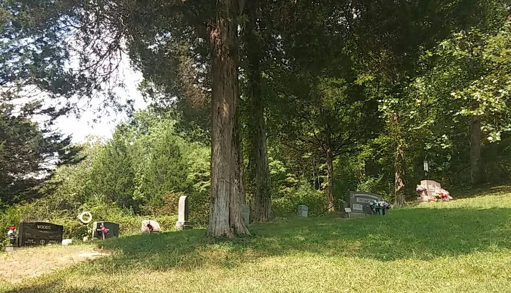
| Description | : | Turn off Hwy 421 at Goose Rock onto Hwy 1524. Stay on Hwy 1524 for about 3.5 miles. Just before the turn off to Ogle (Otter Creek), the cemetery will be on a small hillside to your left. There will be a gravel road leading up to the cemetery. This cemetery is also known as the Bob Woods Cemetery. |
frequently asked questions (FAQ):
-
Where is Ted Woods Cemetery?
Ted Woods Cemetery is located at Off Hwy 1524 on Brightshade Ogle, Clay County ,Kentucky ,USA.
-
Ted Woods Cemetery cemetery's updated grave count on graveviews.com?
3 memorials
-
Where are the coordinates of the Ted Woods Cemetery?
Latitude: 37.0543800
Longitude: -83.6774900
Nearby Cemetories:
1. John Woods Sr. Cemetery
Brightshade, Clay County, USA
Coordinate: 37.0569200, -83.6790100
2. Smith-Gray Cemetery
Goose Rock, Clay County, USA
Coordinate: 37.0568600, -83.6691890
3. Farmer Smith Cemetery
Goose Rock, Clay County, USA
Coordinate: 37.0519130, -83.6679080
4. Speed Smith Cemetery
Ogle, Clay County, USA
Coordinate: 37.0534900, -83.6667700
5. Charlie Hubbard Cemetery
Goose Rock, Clay County, USA
Coordinate: 37.0682980, -83.6886840
6. Woods Cemetery
Goose Rock, Clay County, USA
Coordinate: 37.0715870, -83.6857860
7. Walter and Ethel Woods Memorial Cemetery
Goose Rock, Clay County, USA
Coordinate: 37.0736270, -83.6834240
8. W O Wagers Cemetery
Plank, Clay County, USA
Coordinate: 37.0735000, -83.6699900
9. Smallwood Cemetery
Brightshade, Clay County, USA
Coordinate: 37.0363130, -83.6608080
10. Tip Smith Cemetery
Goose Rock, Clay County, USA
Coordinate: 37.0779680, -83.6823570
11. Howard Cemetery
Lake, Laurel County, USA
Coordinate: 37.0784480, -83.6793570
12. Mayfork Community Cemetery
Otter Creek, Clay County, USA
Coordinate: 37.0295986, -83.6934598
13. Goose Rock Cemetery
Goose Rock, Clay County, USA
Coordinate: 37.0793910, -83.6947570
14. Lipps Cemetery
Goose Rock, Clay County, USA
Coordinate: 37.0823300, -83.6618300
15. Andy Hubbard Cemetery
Brightshade, Clay County, USA
Coordinate: 37.0275400, -83.6584200
16. Hollen Cemetery
Botto, Clay County, USA
Coordinate: 37.0852200, -83.6758700
17. Smith-Henson Cemetery
Plank, Clay County, USA
Coordinate: 37.0766100, -83.6503200
18. Joe Smith Cemetery
Plank, Clay County, USA
Coordinate: 37.0794100, -83.6522600
19. Walker Cemetery #1
Plank, Clay County, USA
Coordinate: 37.0760800, -83.6466400
20. Cleveland Marcum Cemetery
Botto, Clay County, USA
Coordinate: 37.0868100, -83.6845200
21. Jackson Family Cemetery
Botto, Clay County, USA
Coordinate: 37.0876500, -83.6742500
22. Carpenter Cemetery
Plank, Clay County, USA
Coordinate: 37.0825390, -83.6507220
23. Hibbard-Sevier Cemetery
Goose Rock, Clay County, USA
Coordinate: 37.0872400, -83.6948000
24. Riley-Wagers Cemetery
Plank, Clay County, USA
Coordinate: 37.0842300, -83.6506200