
| Memorials | : | 0 |
| Location | : | Giesing, Stadtkreis München, Germany |
| Coordinate | : | 48.1177788, 11.5888891 |
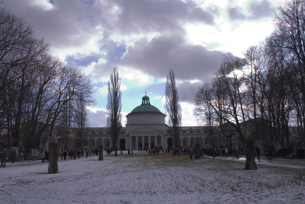
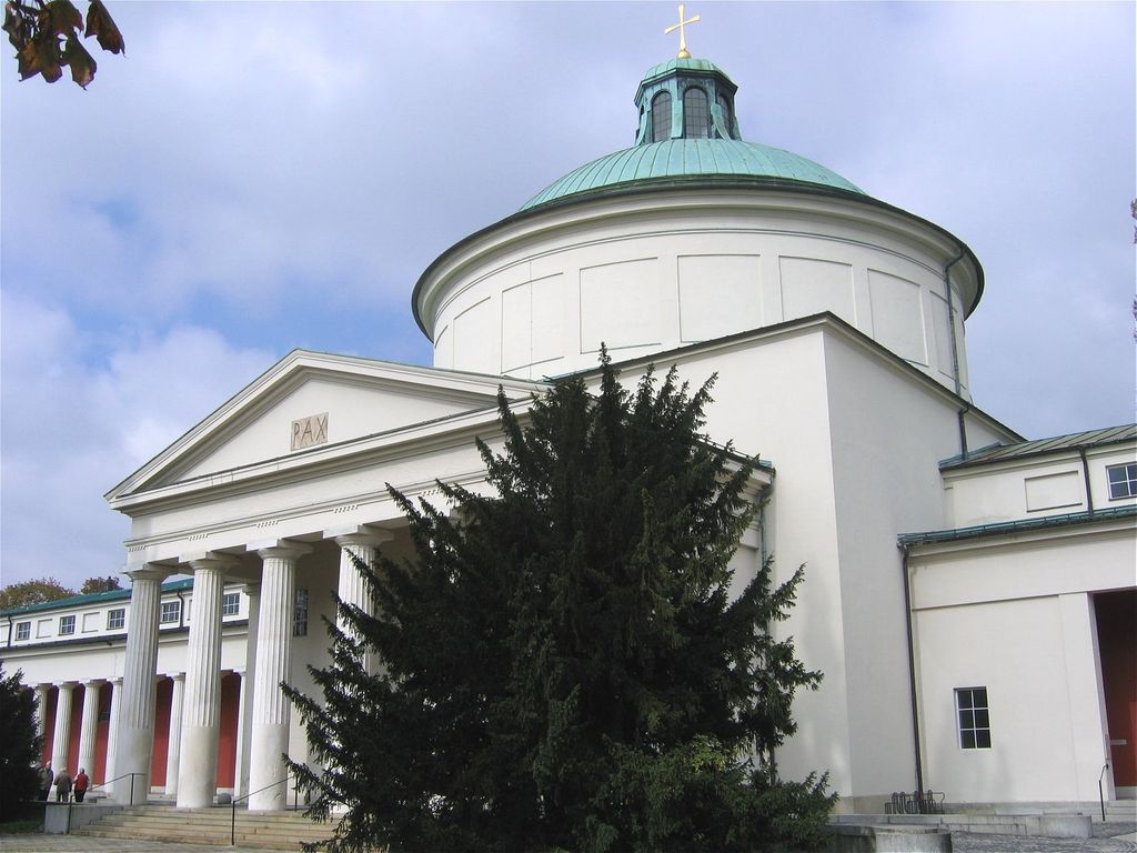
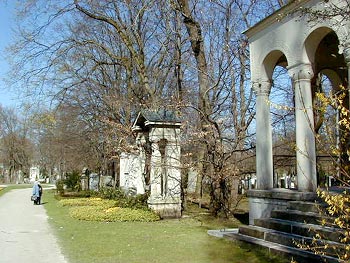
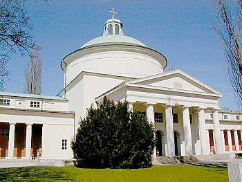
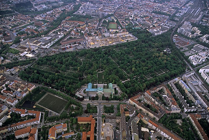
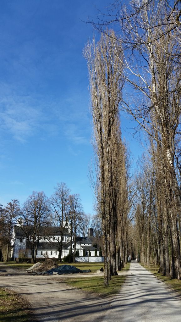
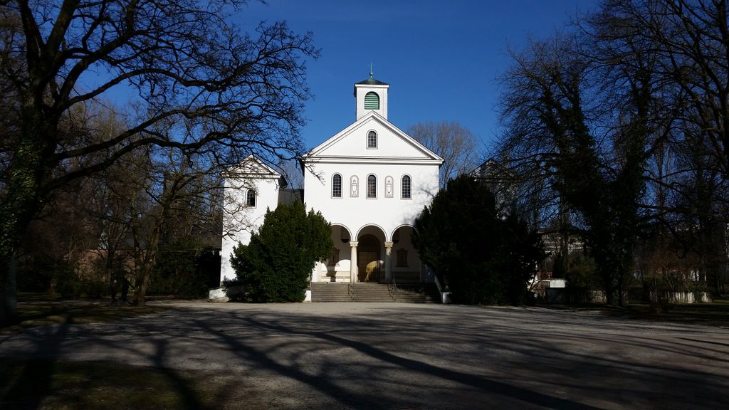
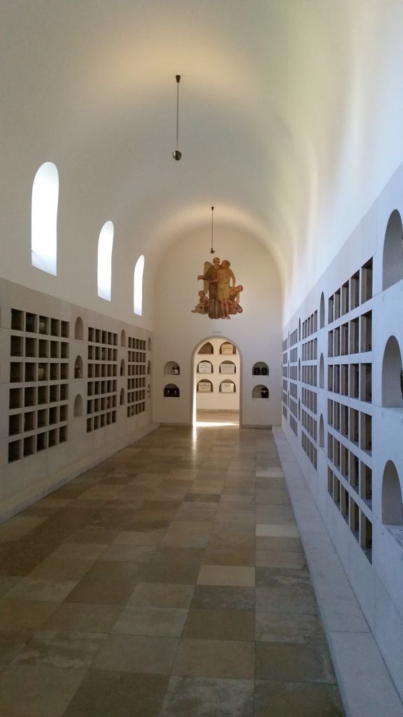
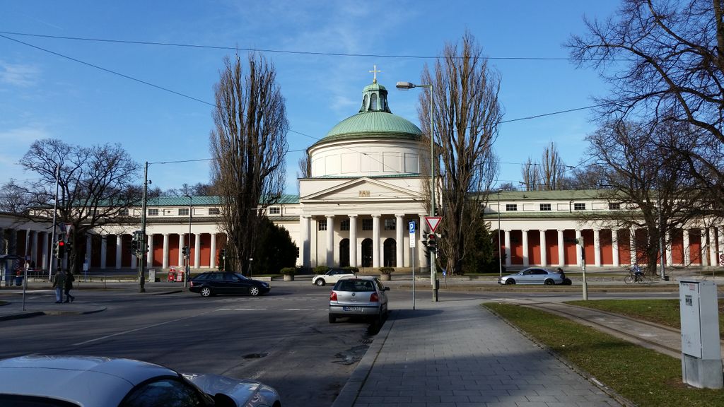
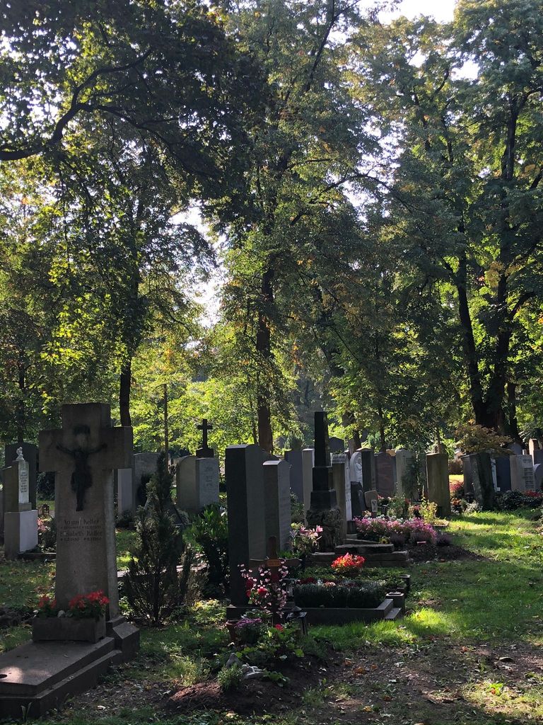
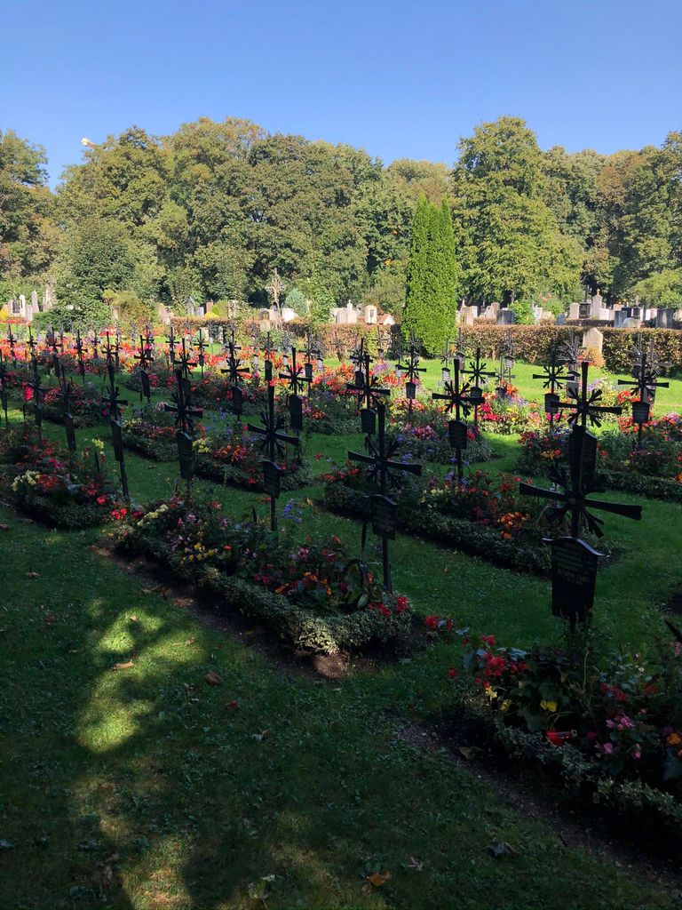
| Description | : | The cemetery was created in the Obergiesing district of Munich in 1821 and is still in use today. It's one of the large, non-denominational community cemeteries in Munich. It's 34 hectare in size and contains about 35,000 grave sites. Like any other German cemetery, the "resting periods" are not eternal, but rather 25-50 years. If no-one contributes to the care of the grave, and pays another "resting-period-fee", the grave is leveled and will be re-used. Unless it's a grave of historic significance, and the City of Munich has agreed to keep the site in its original state. In 1876 the grave... Read More |
frequently asked questions (FAQ):
-
Where is Ostfriedhof München?
Ostfriedhof München is located at Giesing, Stadtkreis München ,Bavaria (Bayern) ,Germany.
-
Ostfriedhof München cemetery's updated grave count on graveviews.com?
0 memorials
-
Where are the coordinates of the Ostfriedhof München?
Latitude: 48.1177788
Longitude: 11.5888891
Nearby Cemetories:
1. Ostfriedhof Munich
Munich (München), Stadtkreis München, Germany
Coordinate: 48.1201101, 11.5900883
2. Kirchhof Sankt Maria Ramersdorf
Ramersdorf, Stadtkreis München, Germany
Coordinate: 48.1140950, 11.6150460
3. Alter Südfriedhof München
Isarvorstadt, Stadtkreis München, Germany
Coordinate: 48.1272202, 11.5649996
4. Haidhauser Friedhof
Haidhausen, Stadtkreis München, Germany
Coordinate: 48.1340670, 11.6043190
5. Friedhof am Perlacher Forst
Fasangarten, Stadtkreis München, Germany
Coordinate: 48.0991470, 11.5964970
6. Jakobskirche
Altstadt, Stadtkreis München, Germany
Coordinate: 48.1340860, 11.5720260
7. Angerkloster
Altstadt, Stadtkreis München, Germany
Coordinate: 48.1340320, 11.5718650
8. Peterskirche
Altstadt, Stadtkreis München, Germany
Coordinate: 48.1364900, 11.5760200
9. Alter Franziskaner Friedhof (Defunct)
Altstadt, Stadtkreis München, Germany
Coordinate: 48.1399340, 11.5783860
10. Frauenkirche Cathedral
Altstadt, Stadtkreis München, Germany
Coordinate: 48.1385670, 11.5730430
11. Saint Michael's Church
Altstadt, Stadtkreis München, Germany
Coordinate: 48.1387280, 11.5704100
12. Klostergruft der Servitinnen
Munich (München), Stadtkreis München, Germany
Coordinate: 48.1374754, 11.5675332
13. Bürgersaalkirche
Altstadt, Stadtkreis München, Germany
Coordinate: 48.1390410, 11.5682690
14. Salvator Churchyard
Altstadt, Stadtkreis München, Germany
Coordinate: 48.1415990, 11.5749600
15. Theatinerkirche
Altstadt, Stadtkreis München, Germany
Coordinate: 48.1420700, 11.5767800
16. St. Michael in Berg am Laim
Berg am Laim, Stadtkreis München, Germany
Coordinate: 48.1251500, 11.6301800
17. St. Mina in Berg am Laim
Berg am Laim, Stadtkreis München, Germany
Coordinate: 48.1269200, 11.6295700
18. Neuer Südfriedhof
Perlach, Stadtkreis München, Germany
Coordinate: 48.1009100, 11.6239400
19. Alter Israelitischer Friedhof
Sendling, Stadtkreis München, Germany
Coordinate: 48.1099730, 11.5457390
20. Saint Bonifaz Basilica
Maxvorstadt, Stadtkreis München, Germany
Coordinate: 48.1438904, 11.5641670
21. Bogenhausener Friedhof
Bogenhausen, Stadtkreis München, Germany
Coordinate: 48.1477780, 11.6013890
22. Ludwigskirche
Maxvorstadt, Stadtkreis München, Germany
Coordinate: 48.1488770, 11.5812642
23. St. Michael Church Cemetery
Perlach, Stadtkreis München, Germany
Coordinate: 48.1016400, 11.6314100
24. Sendlinger Friedhof
Sendling, Stadtkreis München, Germany
Coordinate: 48.1157036, 11.5369864