
| Memorials | : | 0 |
| Location | : | Cardonia, Clay County, USA |
| Coordinate | : | 39.5473500, -87.1224000 |
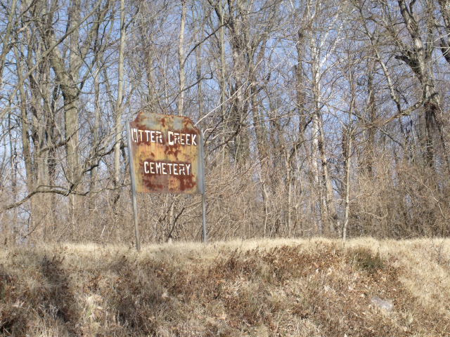
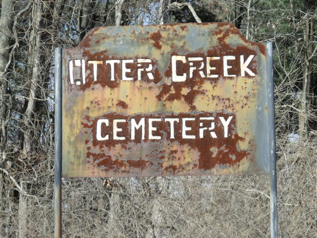
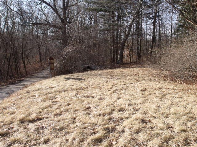
| Description | : | This is a black cemetery going back to the 1870s. It was affiliated with an African American settlement called Otter Creek, located in Van Buren Township, that is no longer in existence. No marked grave has been found in this burial ground. "The Baptist Church was organized about 1873 in a small village called Otter Creek, north of Brazil. The Otter Creek Cemetery which is located north [off] Highway 59 may be affiliated with the church. In 1881, this Baptist church moved into the city of Brazil where it still operates." Indiana State Historical Society |
frequently asked questions (FAQ):
-
Where is Otter Creek Cemetery?
Otter Creek Cemetery is located at Cardonia, Clay County ,Indiana ,USA.
-
Otter Creek Cemetery cemetery's updated grave count on graveviews.com?
0 memorials
-
Where are the coordinates of the Otter Creek Cemetery?
Latitude: 39.5473500
Longitude: -87.1224000
Nearby Cemetories:
1. Stunkard Cemetery
Brazil, Clay County, USA
Coordinate: 39.5463982, -87.1346970
2. Brazil Cemetery
Brazil, Clay County, USA
Coordinate: 39.5352500, -87.1149000
3. Restlawn Cemetery
Brazil, Clay County, USA
Coordinate: 39.5353000, -87.1142000
4. Poff Cemetery
Clay County, USA
Coordinate: 39.5738983, -87.1106033
5. Old Hill Cemetery
Brazil, Clay County, USA
Coordinate: 39.5198300, -87.1432100
6. Cottage Hill Cemetery
Brazil, Clay County, USA
Coordinate: 39.5186005, -87.1517029
7. Bee Ridge Cemetery
Brazil, Clay County, USA
Coordinate: 39.5367584, -87.1687469
8. Harmony Cemetery
Harmony, Clay County, USA
Coordinate: 39.5310740, -87.0762920
9. Sampson Cemetery
Clay County, USA
Coordinate: 39.5750008, -87.1643982
10. Pell Cemetery
Carbon, Clay County, USA
Coordinate: 39.5832500, -87.0878700
11. Poplar Cemetery
Knightsville, Clay County, USA
Coordinate: 39.5042000, -87.0980988
12. Pell Cemetery
Knightsville, Clay County, USA
Coordinate: 39.5247580, -87.0640750
13. Summit Lawn Cemetery
Brazil, Clay County, USA
Coordinate: 39.4998190, -87.1445310
14. Clearview Cemetery
Posey Township, Clay County, USA
Coordinate: 39.5141983, -87.1733017
15. Webster Cemetery
Brazil, Clay County, USA
Coordinate: 39.5771930, -87.1772110
16. Perth Cemetery
Perth, Clay County, USA
Coordinate: 39.5903015, -87.1613998
17. Stewart Cemetery
Carbon, Clay County, USA
Coordinate: 39.6034940, -87.1052350
18. Orchard Cemetery
Carbon, Clay County, USA
Coordinate: 39.6046982, -87.1335983
19. Reffet Cemetery
Brazil, Clay County, USA
Coordinate: 39.4891960, -87.1260020
20. Wools Cemetery
Staunton, Clay County, USA
Coordinate: 39.4895690, -87.1446970
21. Carter Cemetery
Clay County, USA
Coordinate: 39.5703011, -87.1964035
22. Bemis Cemetery
Ehrmandale, Vigo County, USA
Coordinate: 39.5483550, -87.2061220
23. Saint Mary's Cemetery
Carbon, Clay County, USA
Coordinate: 39.6044006, -87.1660995
24. Owens Cemetery
Benwood, Clay County, USA
Coordinate: 39.5541722, -87.0364528