
| Memorials | : | 3 |
| Location | : | Brazil, Clay County, USA |
| Coordinate | : | 39.4998190, -87.1445310 |
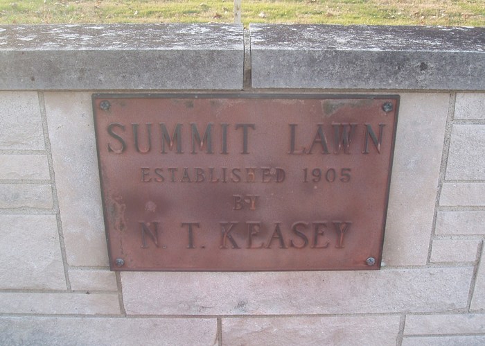
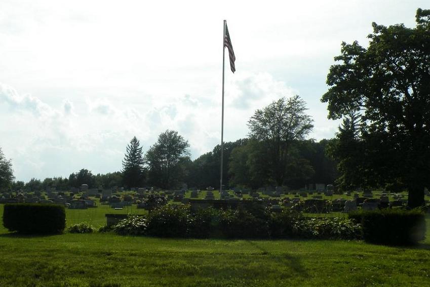
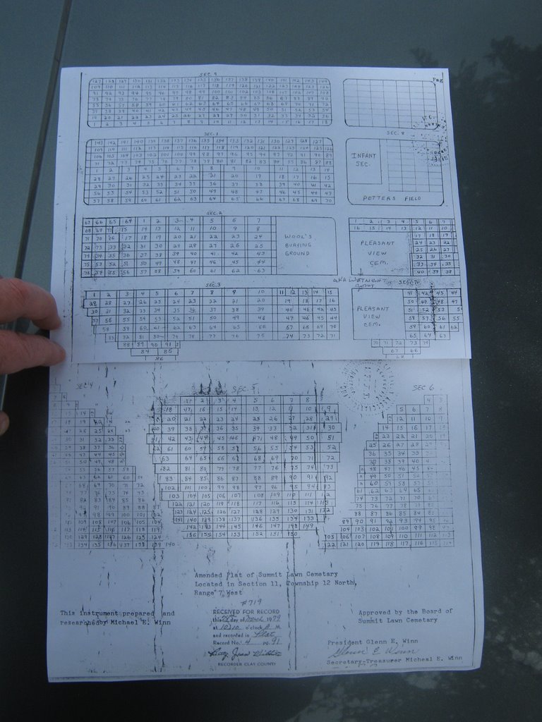
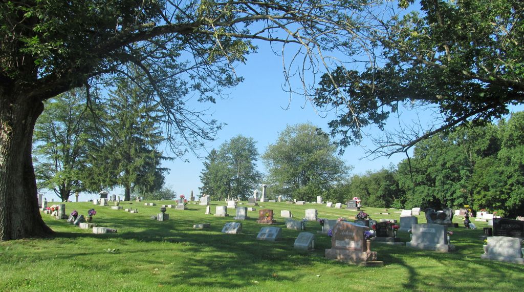
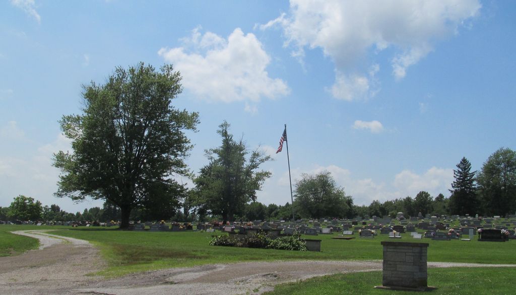
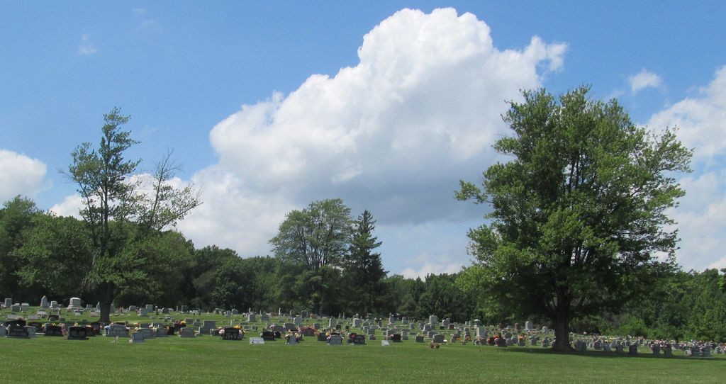
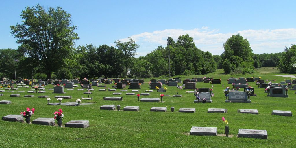
| Description | : | The cemetery is located in Posey Township (SE quadrant of the NE quadrant of Section 11 Township 12N Range 7W) on the west side of W County Road 200 W about 0.3 miles south of its intersection with W County Road 800 N. Indiana Cemetery Locations, Volume 4, published by the Indiana Genealogical Society (April 2009), gives the primary cemetery name as Hazeldale Cemetery with an alternate name of Summit Lawn Cemetery. The cemetery is listed in the Cemetery and Burial Grounds Registry of the Indiana Department of Natural Resources (DNR) and in the State Historical Architectural and... Read More |
frequently asked questions (FAQ):
-
Where is Summit Lawn Cemetery?
Summit Lawn Cemetery is located at N County Road 200 W Brazil, Clay County ,Indiana , 47834USA.
-
Summit Lawn Cemetery cemetery's updated grave count on graveviews.com?
3 memorials
-
Where are the coordinates of the Summit Lawn Cemetery?
Latitude: 39.4998190
Longitude: -87.1445310
Nearby Cemetories:
1. Wools Cemetery
Staunton, Clay County, USA
Coordinate: 39.4895690, -87.1446970
2. Reffet Cemetery
Brazil, Clay County, USA
Coordinate: 39.4891960, -87.1260020
3. Cottage Hill Cemetery
Brazil, Clay County, USA
Coordinate: 39.5186005, -87.1517029
4. Old Hill Cemetery
Brazil, Clay County, USA
Coordinate: 39.5198300, -87.1432100
5. Clearview Cemetery
Posey Township, Clay County, USA
Coordinate: 39.5141983, -87.1733017
6. Vest Cemetery
Staunton, Clay County, USA
Coordinate: 39.4795685, -87.1728516
7. Saint John's Evangelical Lutheran Cemetery
Center Point, Clay County, USA
Coordinate: 39.4683609, -87.1544952
8. German Cemetery
Clay County, USA
Coordinate: 39.4681015, -87.1547012
9. Staunton German Lutheran Cemetery
Staunton, Clay County, USA
Coordinate: 39.4806510, -87.1839270
10. Poplar Cemetery
Knightsville, Clay County, USA
Coordinate: 39.5042000, -87.0980988
11. Bee Ridge Cemetery
Brazil, Clay County, USA
Coordinate: 39.5367584, -87.1687469
12. Brazil Cemetery
Brazil, Clay County, USA
Coordinate: 39.5352500, -87.1149000
13. Restlawn Cemetery
Brazil, Clay County, USA
Coordinate: 39.5353000, -87.1142000
14. Billtown Cemetery
Billtown, Clay County, USA
Coordinate: 39.5083008, -87.1996994
15. Union Cemetery
Hoosierville, Clay County, USA
Coordinate: 39.4746390, -87.0958110
16. Stunkard Cemetery
Brazil, Clay County, USA
Coordinate: 39.5463982, -87.1346970
17. Otter Creek Cemetery
Cardonia, Clay County, USA
Coordinate: 39.5473500, -87.1224000
18. Arthur Helton Farm Cemetery
Jackson Township, Clay County, USA
Coordinate: 39.4712140, -87.0873260
19. Harpold Cemetery
Ehrmandale, Vigo County, USA
Coordinate: 39.5205994, -87.2144012
20. Harmony Cemetery
Harmony, Clay County, USA
Coordinate: 39.5310740, -87.0762920
21. Zenor Cemetery North
Prairie City, Clay County, USA
Coordinate: 39.4454346, -87.1073227
22. Pell Cemetery
Knightsville, Clay County, USA
Coordinate: 39.5247580, -87.0640750
23. Eppert Cemetery
Cloverland, Clay County, USA
Coordinate: 39.5020332, -87.2316666
24. Bemis Cemetery
Ehrmandale, Vigo County, USA
Coordinate: 39.5483550, -87.2061220