
| Memorials | : | 1 |
| Location | : | Brazil, Clay County, USA |
| Coordinate | : | 39.5186005, -87.1517029 |
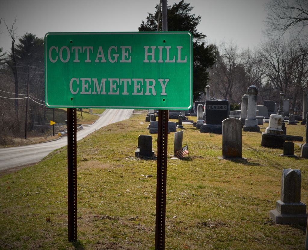
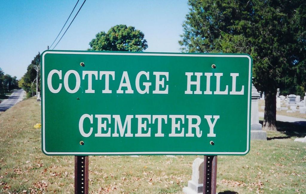
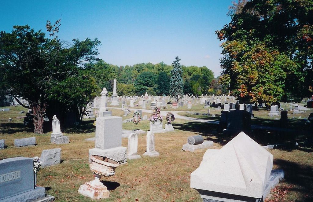
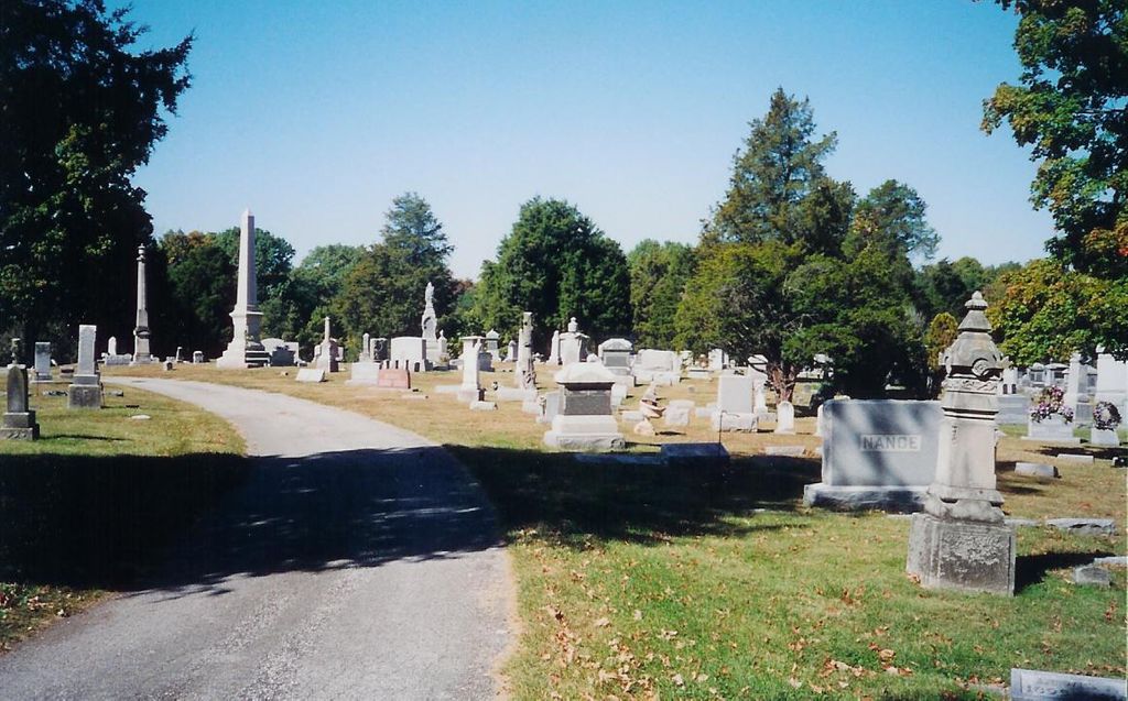
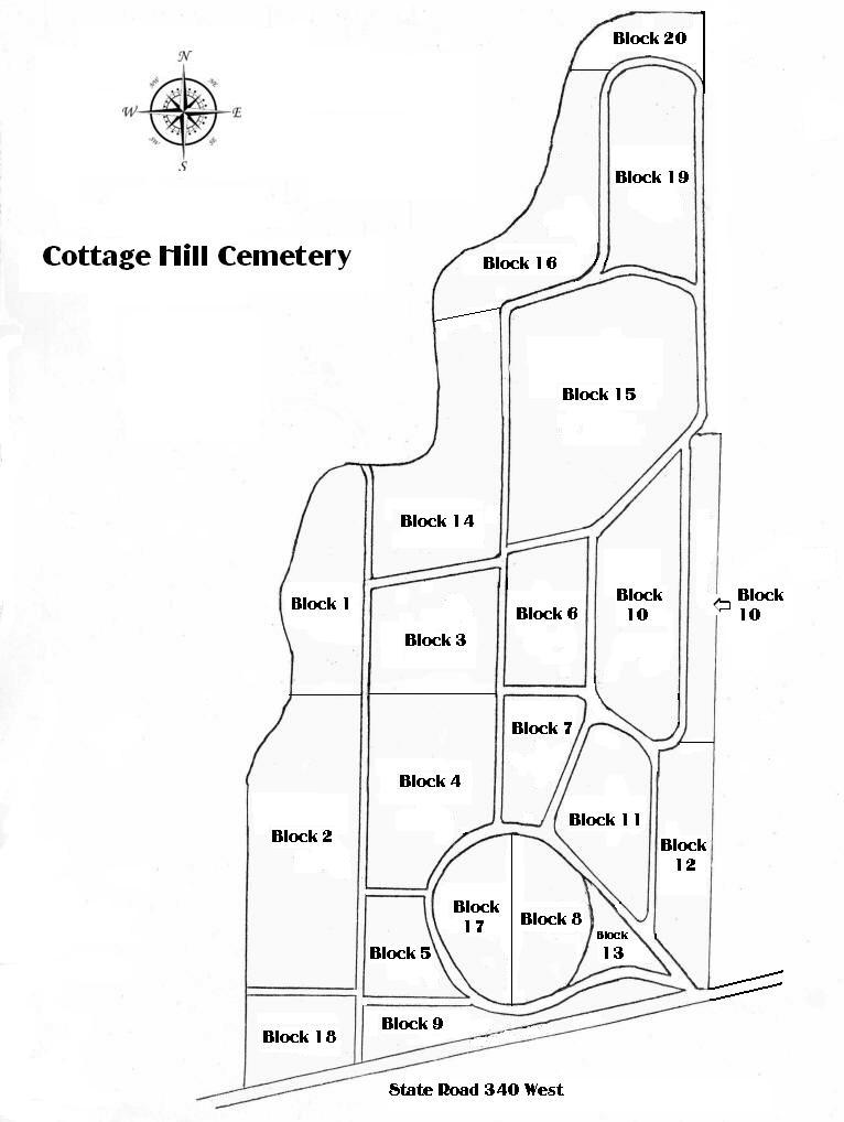
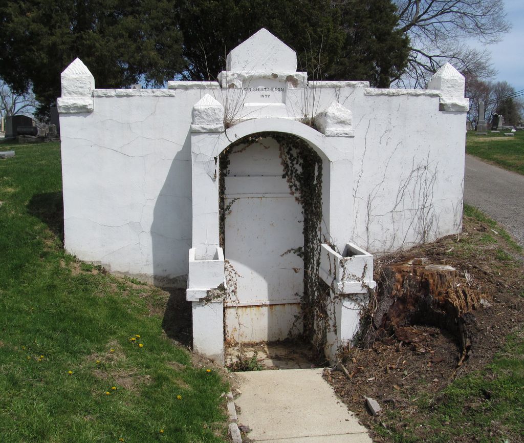
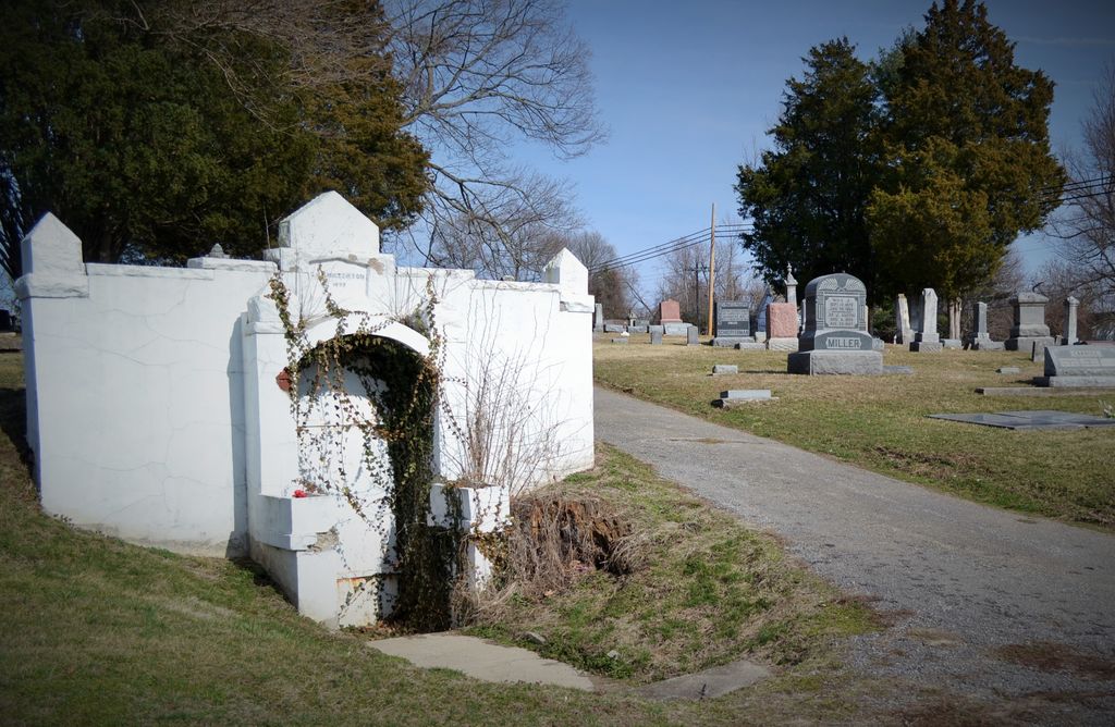
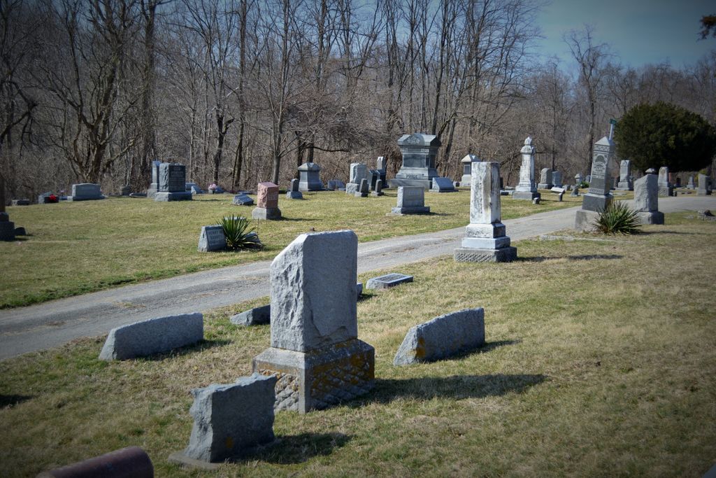
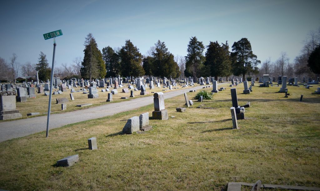
| Description | : | The Cottage Hill Cemetery, located in Clay County, Ind., and situated west of the town of Brazil on State Road 340, is a large burial ground with a rich history. It was originally named Stough’s Cemetery. As early as 1873, the editors at Brazil’s Saturday Evening Echo were calling for a new cemetery for the citizens of Brazil: “What we want now is a cemetery ... Shall we have it or shall we continue to bury our dead in the old grave yard already filled beyond its capacity?” According to land records, Joseph Stough purchased land in Clay... Read More |
frequently asked questions (FAQ):
-
Where is Cottage Hill Cemetery?
Cottage Hill Cemetery is located at State Road 340 Brazil, Clay County ,Indiana ,USA.
-
Cottage Hill Cemetery cemetery's updated grave count on graveviews.com?
0 memorials
-
Where are the coordinates of the Cottage Hill Cemetery?
Latitude: 39.5186005
Longitude: -87.1517029
Nearby Cemetories:
1. Old Hill Cemetery
Brazil, Clay County, USA
Coordinate: 39.5198300, -87.1432100
2. Clearview Cemetery
Posey Township, Clay County, USA
Coordinate: 39.5141983, -87.1733017
3. Summit Lawn Cemetery
Brazil, Clay County, USA
Coordinate: 39.4998190, -87.1445310
4. Bee Ridge Cemetery
Brazil, Clay County, USA
Coordinate: 39.5367584, -87.1687469
5. Wools Cemetery
Staunton, Clay County, USA
Coordinate: 39.4895690, -87.1446970
6. Stunkard Cemetery
Brazil, Clay County, USA
Coordinate: 39.5463982, -87.1346970
7. Brazil Cemetery
Brazil, Clay County, USA
Coordinate: 39.5352500, -87.1149000
8. Restlawn Cemetery
Brazil, Clay County, USA
Coordinate: 39.5353000, -87.1142000
9. Reffet Cemetery
Brazil, Clay County, USA
Coordinate: 39.4891960, -87.1260020
10. Otter Creek Cemetery
Cardonia, Clay County, USA
Coordinate: 39.5473500, -87.1224000
11. Billtown Cemetery
Billtown, Clay County, USA
Coordinate: 39.5083008, -87.1996994
12. Vest Cemetery
Staunton, Clay County, USA
Coordinate: 39.4795685, -87.1728516
13. Poplar Cemetery
Knightsville, Clay County, USA
Coordinate: 39.5042000, -87.0980988
14. Staunton German Lutheran Cemetery
Staunton, Clay County, USA
Coordinate: 39.4806510, -87.1839270
15. Harpold Cemetery
Ehrmandale, Vigo County, USA
Coordinate: 39.5205994, -87.2144012
16. Saint John's Evangelical Lutheran Cemetery
Center Point, Clay County, USA
Coordinate: 39.4683609, -87.1544952
17. German Cemetery
Clay County, USA
Coordinate: 39.4681015, -87.1547012
18. Bemis Cemetery
Ehrmandale, Vigo County, USA
Coordinate: 39.5483550, -87.2061220
19. Sampson Cemetery
Clay County, USA
Coordinate: 39.5750008, -87.1643982
20. Harmony Cemetery
Harmony, Clay County, USA
Coordinate: 39.5310740, -87.0762920
21. Moreland Cemetery
Ehrmandale, Vigo County, USA
Coordinate: 39.5443600, -87.2239600
22. Union Cemetery
Hoosierville, Clay County, USA
Coordinate: 39.4746390, -87.0958110
23. Webster Cemetery
Brazil, Clay County, USA
Coordinate: 39.5771930, -87.1772110
24. Carter Cemetery
Clay County, USA
Coordinate: 39.5703011, -87.1964035