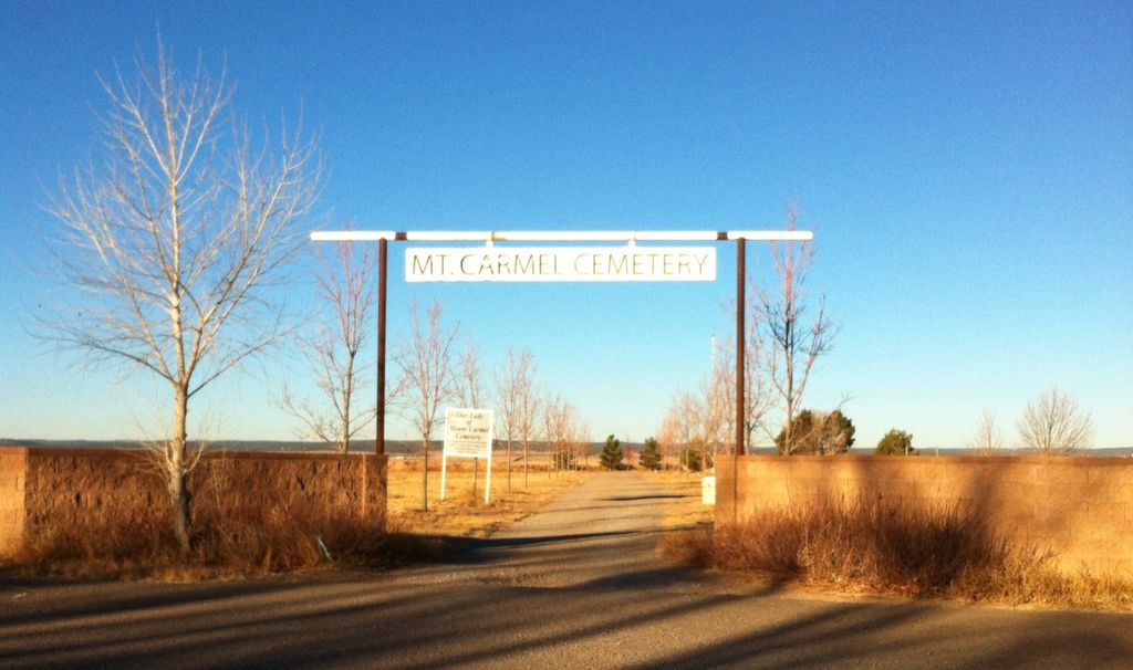
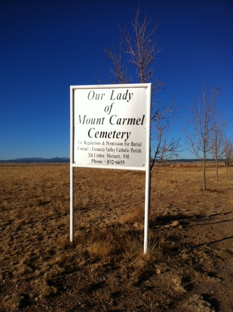
| Memorials | : | 40 |
| Location | : | Moriarty, Torrance County, USA |
| Coordinate | : | 34.9900017, -106.0485992 |
frequently asked questions (FAQ):
-
Where is Our Lady of Mount Carmel Cemetery?
Our Lady of Mount Carmel Cemetery is located at Moriarty, Torrance County ,New Mexico ,USA.
-
Our Lady of Mount Carmel Cemetery cemetery's updated grave count on graveviews.com?
39 memorials
-
Where are the coordinates of the Our Lady of Mount Carmel Cemetery?
Latitude: 34.9900017
Longitude: -106.0485992
Nearby Cemetories:
1. Mountain View Cemetery
Moriarty, Torrance County, USA
Coordinate: 34.9977989, -106.0631027
2. Martinez Cemetery
Martinez, Torrance County, USA
Coordinate: 35.0000650, -106.1994560
3. McIntosh Cemetery
Torrance County, USA
Coordinate: 34.8647003, -106.0511017
4. Chilili New Cemetery
Chilili, Bernalillo County, USA
Coordinate: 34.8839800, -106.2229200
5. Stanley Cemetery
Stanley, Santa Fe County, USA
Coordinate: 35.1599998, -105.9732971
6. Saint John Nepomucene Cemetery
Torrance County, USA
Coordinate: 34.8894005, -106.2322006
7. Chilili Cemetery
Chilili, Bernalillo County, USA
Coordinate: 34.8894005, -106.2322006
8. Mountain Valley Cemetery
Edgewood, Santa Fe County, USA
Coordinate: 35.0760994, -106.2431030
9. San Juan Nepomoceno
Chilili, Bernalillo County, USA
Coordinate: 34.8893350, -106.2326730
10. La Morada Cemetery
Chilili, Bernalillo County, USA
Coordinate: 34.8891700, -106.2337160
11. Escabosa Cemetery
Escabosa, Bernalillo County, USA
Coordinate: 34.9253910, -106.2814520
12. Juan Tomas Cemetery
Juan Tomas, Bernalillo County, USA
Coordinate: 35.0273840, -106.3030600
13. Cedar Grove Cemetery
Santa Fe County, USA
Coordinate: 35.1707993, -106.1893997
14. San Isidro de Labrador Mission Church Cemetery
Sedillo, Bernalillo County, USA
Coordinate: 35.0997009, -106.2949982
15. Hyer Cemetery
Santa Fe County, USA
Coordinate: 35.2155991, -106.1371994
16. Garland Cemetery
Torrance County, USA
Coordinate: 34.7972220, -106.2352780
17. Estancia Memorial Cemetery
Estancia, Torrance County, USA
Coordinate: 34.7406006, -106.0796967
18. Cedro Cemetery
Bernalillo County, USA
Coordinate: 35.0239320, -106.3556420
19. Urban Family Ranch Cemetery
Estancia, Torrance County, USA
Coordinate: 34.7808126, -106.2597102
20. San Pedro Cemetery
Santa Fe County, USA
Coordinate: 35.2386017, -106.2181015
21. San Antonio Cemetery
Cedar Crest, Bernalillo County, USA
Coordinate: 35.1036030, -106.3767400
22. San Antonio Cemetery Annex
Cedar Crest, Bernalillo County, USA
Coordinate: 35.1051000, -106.3767190
23. Tijeras Cemetery
Tijeras, Bernalillo County, USA
Coordinate: 35.0760000, -106.3901000
24. San Antonito Cemetery
Bernalillo County, USA
Coordinate: 35.1637802, -106.3472824


