
| Memorials | : | 15 |
| Location | : | Chilili, Bernalillo County, USA |
| Coordinate | : | 34.8891700, -106.2337160 |
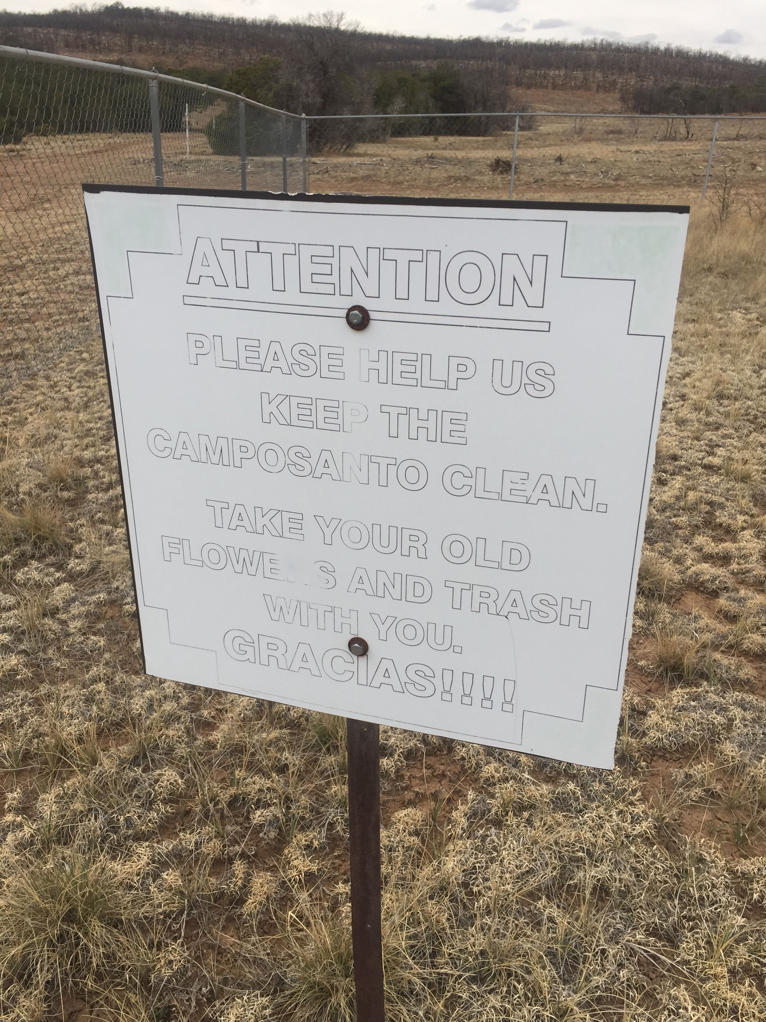
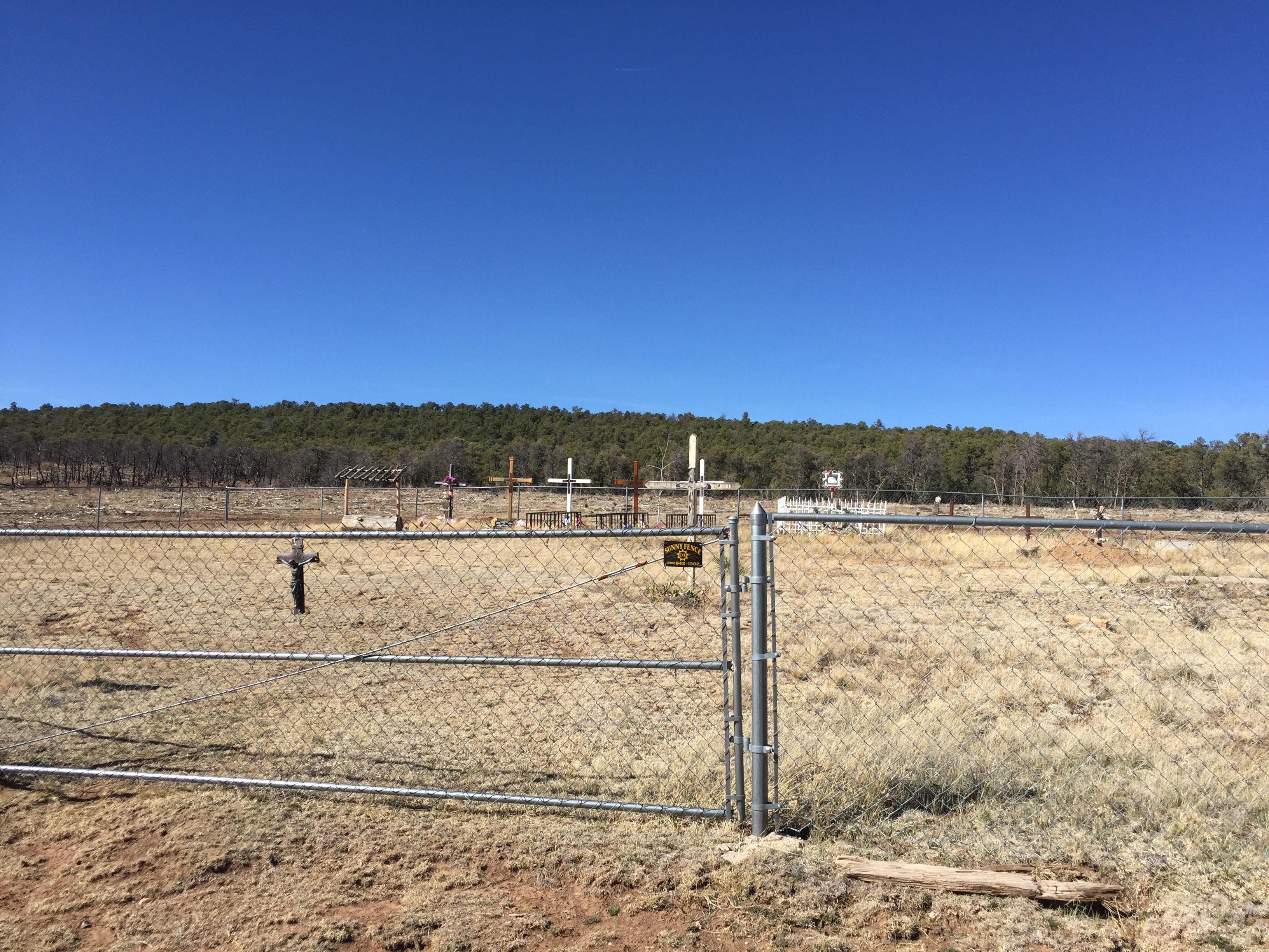
| Description | : | One of eight cemeteries in New Mexico named ‘La Morada’ this cemetery on the west side of Chilili is adjacent to the site of the original Morada, or Penitente Chapel. The original Chapel burned down, however a simple and lovely chapel has been rebuilt on the site. Buried in this cemetery are sincerely devout descendants of the original Chilili Land Grant and their spouses. The 14 Stations of the Cross start at the Chapel, follow the southern fence and end up west of the end of the cemetery, and walking the stations is still a tradition... Read More |
frequently asked questions (FAQ):
-
Where is La Morada Cemetery?
La Morada Cemetery is located at Chilili, Bernalillo County ,New Mexico ,USA.
-
La Morada Cemetery cemetery's updated grave count on graveviews.com?
15 memorials
-
Where are the coordinates of the La Morada Cemetery?
Latitude: 34.8891700
Longitude: -106.2337160
Nearby Cemetories:
1. San Juan Nepomoceno
Chilili, Bernalillo County, USA
Coordinate: 34.8893350, -106.2326730
2. Saint John Nepomucene Cemetery
Torrance County, USA
Coordinate: 34.8894005, -106.2322006
3. Chilili Cemetery
Chilili, Bernalillo County, USA
Coordinate: 34.8894005, -106.2322006
4. Chilili New Cemetery
Chilili, Bernalillo County, USA
Coordinate: 34.8839800, -106.2229200
5. Escabosa Cemetery
Escabosa, Bernalillo County, USA
Coordinate: 34.9253910, -106.2814520
6. Garland Cemetery
Torrance County, USA
Coordinate: 34.7972220, -106.2352780
7. Urban Family Ranch Cemetery
Estancia, Torrance County, USA
Coordinate: 34.7808126, -106.2597102
8. Martinez Cemetery
Martinez, Torrance County, USA
Coordinate: 35.0000650, -106.1994560
9. Glover Ranch Cemetery
Tajique, Torrance County, USA
Coordinate: 34.7561500, -106.2866720
10. Tajique Catholic Church Cemetery
Tajique, Torrance County, USA
Coordinate: 34.7513640, -106.2884370
11. Juan Tomas Cemetery
Juan Tomas, Bernalillo County, USA
Coordinate: 35.0273840, -106.3030600
12. McIntosh Cemetery
Torrance County, USA
Coordinate: 34.8647003, -106.0511017
13. Cedro Cemetery
Bernalillo County, USA
Coordinate: 35.0239320, -106.3556420
14. CLL Ranch Cemetery
Torreon, Torrance County, USA
Coordinate: 34.7207494, -106.2703326
15. Torreon Catholic Cemetery
Torreon, Torrance County, USA
Coordinate: 34.7213210, -106.2997510
16. Torreon Cemetery
Torreon, Torrance County, USA
Coordinate: 34.7211900, -106.2997140
17. Mountain View Cemetery
Moriarty, Torrance County, USA
Coordinate: 34.9977989, -106.0631027
18. Our Lady of Mount Carmel Cemetery
Moriarty, Torrance County, USA
Coordinate: 34.9900017, -106.0485992
19. Mountain Valley Cemetery
Edgewood, Santa Fe County, USA
Coordinate: 35.0760994, -106.2431030
20. Estancia Memorial Cemetery
Estancia, Torrance County, USA
Coordinate: 34.7406006, -106.0796967
21. Bosque Peak Cemetery
Torrance County, USA
Coordinate: 34.7655983, -106.4291992
22. San Isidro de Labrador Mission Church Cemetery
Sedillo, Bernalillo County, USA
Coordinate: 35.0997009, -106.2949982
23. Tijeras Cemetery
Tijeras, Bernalillo County, USA
Coordinate: 35.0760000, -106.3901000
24. San Antonio Cemetery
Cedar Crest, Bernalillo County, USA
Coordinate: 35.1036030, -106.3767400