
| Memorials | : | 0 |
| Location | : | Layhill, Montgomery County, USA |
| Coordinate | : | 39.0886230, -77.0472120 |
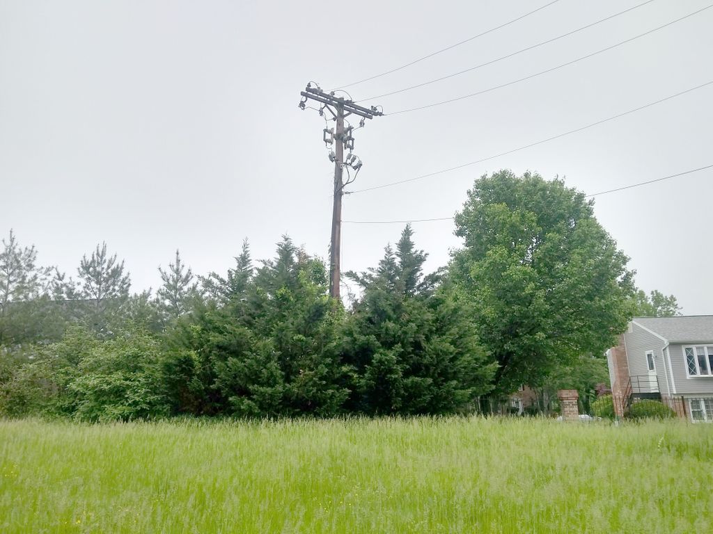
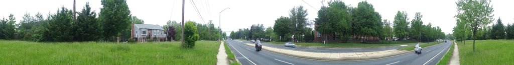
| Description | : | Was a walled cemetery behind the family home at 14114 Layhill Road (near the intersection of Layhill and Bel Pre Roads), Layhill, MD. The cemetery was dismantled in the 1990s and its remains were moved to an unknown location? |
frequently asked questions (FAQ):
-
Where is Parker Family Cemetery (Defunct)?
Parker Family Cemetery (Defunct) is located at Layhill, Montgomery County ,Maryland ,USA.
-
Parker Family Cemetery (Defunct) cemetery's updated grave count on graveviews.com?
0 memorials
-
Where are the coordinates of the Parker Family Cemetery (Defunct)?
Latitude: 39.0886230
Longitude: -77.0472120
Nearby Cemetories:
1. Beall Cemetery
Silver Spring, Montgomery County, USA
Coordinate: 39.0877991, -77.0607986
2. Bonifant Family Cemetery
Layhill, Montgomery County, USA
Coordinate: 39.0908012, -77.0218964
3. Gate of Heaven Cemetery
Silver Spring, Montgomery County, USA
Coordinate: 39.0825005, -77.0738983
4. Aspin Hill Memorial Park
Silver Spring, Montgomery County, USA
Coordinate: 39.0799600, -77.0772300
5. Bready Family Cemetery
Norwood, Montgomery County, USA
Coordinate: 39.1123480, -77.0369050
6. Reflection Terrace Memorial
Wheaton, Montgomery County, USA
Coordinate: 39.0571500, -77.0369600
7. Mount Pleasant Methodist Church Cemetery
Norbeck, Montgomery County, USA
Coordinate: 39.1104800, -77.0810960
8. Colesville Cemetery
Silver Spring, Montgomery County, USA
Coordinate: 39.0750351, -77.0055313
9. Transfiguration Episcopal Church Columbarium
Silver Spring, Montgomery County, USA
Coordinate: 39.0847100, -76.9992600
10. Norbeck Memorial Park
Olney, Montgomery County, USA
Coordinate: 39.1217003, -77.0717010
11. Judean Memorial Gardens
Olney, Montgomery County, USA
Coordinate: 39.1225800, -77.0714200
12. Lee Family Cemetery
Wheaton, Montgomery County, USA
Coordinate: 39.0516600, -77.0227800
13. Cloverly Cemetery
Cloverly, Montgomery County, USA
Coordinate: 39.1082200, -76.9948800
14. Good Hope Union Methodist Church Cemetery
Silver Spring, Montgomery County, USA
Coordinate: 39.0958700, -76.9876700
15. Cloverly Cemetery
Cloverly, Montgomery County, USA
Coordinate: 39.1076100, -76.9911100
16. Allen Chapel A. M. E. Church Cemetery
Wheaton, Montgomery County, USA
Coordinate: 39.0367500, -77.0433300
17. Parklawn Memorial Park and Menorah Gardens
Rockville, Montgomery County, USA
Coordinate: 39.0639000, -77.1091995
18. Rockville United Church Memorial Garden
Rockville, Montgomery County, USA
Coordinate: 39.0783570, -77.1158440
19. Joseph Harding Family Cemetery
Cloverly, Montgomery County, USA
Coordinate: 39.1167300, -76.9850400
20. Alloway-Miller Cemetery
Spencerville, Montgomery County, USA
Coordinate: 39.1240070, -76.9884170
21. Prather Family Cemetery
Montgomery County, USA
Coordinate: 39.1133330, -77.1147220
22. Good Shepherd Episcopal Church Columbarium
Montgomery County, USA
Coordinate: 39.0322020, -77.0236240
23. Round Oak Baptist Cemetery
Montgomery County, USA
Coordinate: 39.1147385, -76.9782562
24. Avery Road Colored Cemetery
Rockville, Montgomery County, USA
Coordinate: 39.0897220, -77.1255560