
| Memorials | : | 0 |
| Location | : | Flagstaff, Coconino County, USA |
| Coordinate | : | 35.1982994, -111.5653000 |
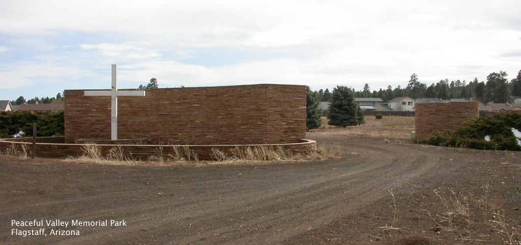
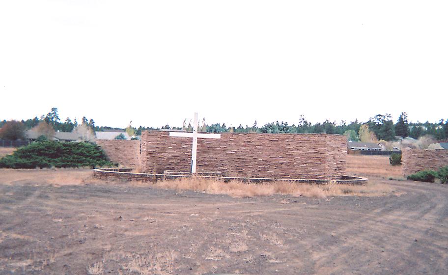
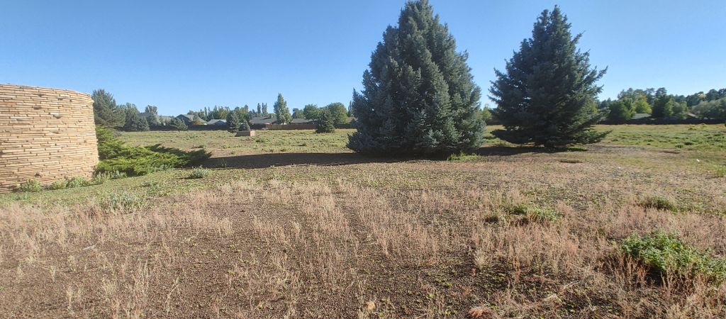
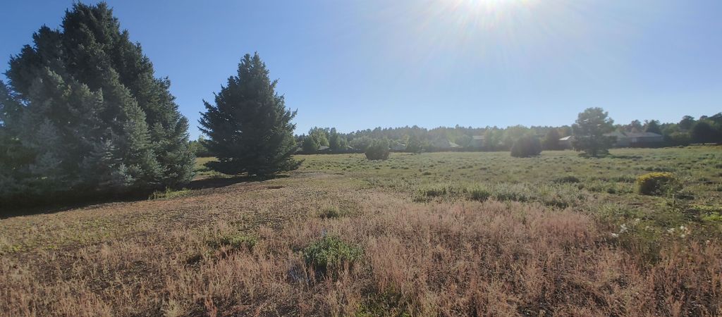
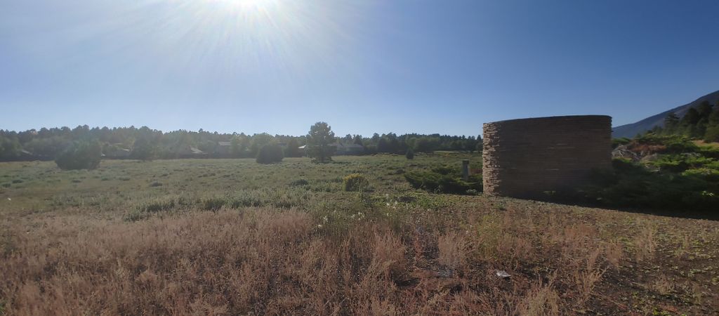
| Description | : | The Peaceful Valley Memorial Park is an abandoned cemetery located in Flagstaff, Arizona. Although the exact number of graves is unknown, it is estimated that about 140 bodies are buried there. There are also around 130 unfilled grave plots. The first burials date back to 1960 and the most recent burials were in early 2000. The cemetery, which lies between Old Walnut Canyon Road and a residential neighborhood, is now in a disarray due to a lack of upkeep by its multiple owners. The cemetery was left to more than a dozen heirs after the death of the original owner... Read More |
frequently asked questions (FAQ):
-
Where is Peaceful Valley Memorial Park?
Peaceful Valley Memorial Park is located at East Old Walnut Canyon Road Flagstaff, Coconino County ,Arizona , 86004USA.
-
Peaceful Valley Memorial Park cemetery's updated grave count on graveviews.com?
0 memorials
-
Where are the coordinates of the Peaceful Valley Memorial Park?
Latitude: 35.1982994
Longitude: -111.5653000


Nearby Cemetories:
1. Trinity Heights United Meth. Church Columbarium
Flagstaff, Coconino County, USA
Coordinate: 35.2245680, -111.6130580
2. Episcopal Church of the Epiphany Columbarium
Flagstaff, Coconino County, USA
Coordinate: 35.2026280, -111.6484690
3. Citizens Cemetery
Flagstaff, Coconino County, USA
Coordinate: 35.1865616, -111.6516953
4. Flagstaff Federated Community Church Columbarium
Flagstaff, Coconino County, USA
Coordinate: 35.2003980, -111.6532510
5. Greenwood Cemetery (Defunct)
Flagstaff, Coconino County, USA
Coordinate: 35.2078900, -111.6560590
6. Calvary Cemetery
Flagstaff, Coconino County, USA
Coordinate: 35.1831017, -111.6572037
7. Lowell Observatory Grounds
Flagstaff, Coconino County, USA
Coordinate: 35.2025410, -111.6638720
8. Raymond County Park
Flagstaff, Coconino County, USA
Coordinate: 35.0917430, -111.6866100
9. Arizona Veterans Memorial Cemetery at Camp Navajo
Bellemont, Coconino County, USA
Coordinate: 35.2371440, -111.8461980
10. Boot Hill Cemetery
Canyon Diablo, Coconino County, USA
Coordinate: 35.1639330, -111.1166200
11. Canyon Diablo Cemetery
Canyon Diablo, Coconino County, USA
Coordinate: 35.1563020, -111.1146500
12. Cooks Cedar Glade Cemetery
Sedona, Yavapai County, USA
Coordinate: 34.8610306, -111.7811432
13. Church of the Red Rocks Columbarium
Coconino County, USA
Coordinate: 34.8499000, -111.7667000
14. Sedona Community Cemetery
Sedona, Coconino County, USA
Coordinate: 34.8438310, -111.7655470
15. Saint Andrew's Episcopal Church Columbarium
West Sedona, Yavapai County, USA
Coordinate: 34.8597400, -111.8142250
16. Christ Lutheran Church Memorial Garden
Sedona, Coconino County, USA
Coordinate: 34.8325380, -111.7758970
17. Saint Lukes Memorial Garden
Sedona, Coconino County, USA
Coordinate: 34.8306100, -111.7779100
18. Sedona United Methodist Church Columbarium
Sedona, Coconino County, USA
Coordinate: 34.8263120, -111.7776790
19. Schuerman Red Rock Cemetery
Sedona, Yavapai County, USA
Coordinate: 34.8271280, -111.8153020
20. Leupp Villiage Cemetery
Coconino County, USA
Coordinate: 35.2862250, -110.9689810
21. Mountain View Cemetery
Williams, Coconino County, USA
Coordinate: 35.2463989, -112.2042007
22. Thompson Family Cemetery
Cornville, Yavapai County, USA
Coordinate: 34.7440400, -111.8885900
23. Casner Family Cemetery
Rimrock, Yavapai County, USA
Coordinate: 34.6778200, -111.6952700
24. All Souls Cemetery
Cottonwood, Yavapai County, USA
Coordinate: 34.7459000, -111.9710000