
| Memorials | : | 0 |
| Location | : | Bracht, Kenton County, USA |
| Coordinate | : | 38.8055030, -84.5790020 |
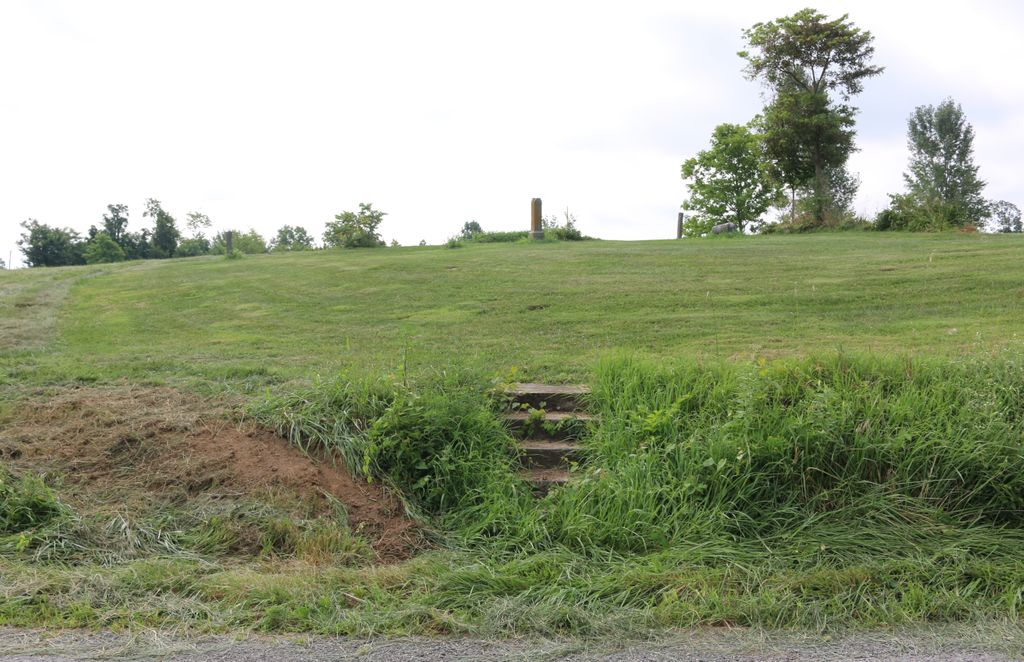
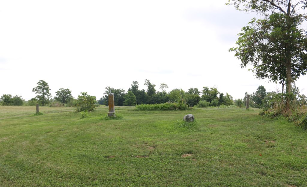
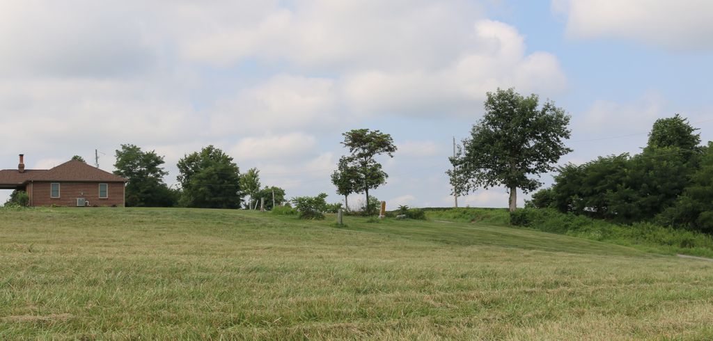
| Description | : | The cemetery is located on the south side of Bagby Road (Kentucky State Highway 2046) about 0.7 miles east of its junction with Dixie Highway (US 25). The cemetery is listed as Peebles Cemetery on page 65 of Small Kenton County, Kentucky, Cemeteries published by Kenton County Historical Society, Cemetery Committee. The cemetery inscriptions were recorded in July 1977, reporting 3 graves identifiable by inscription and 12 unidentified graves. The U.S. Geological Survey (USGS) Geographic Names Information System (GNIS) feature ID for the cemetery is 500399 (Peoples Cemetery). |
frequently asked questions (FAQ):
-
Where is Peebles Cemetery?
Peebles Cemetery is located at 401 Bagby Road (Kentucky State Highway 2046) Bracht, Kenton County ,Kentucky , 41030USA.
-
Peebles Cemetery cemetery's updated grave count on graveviews.com?
0 memorials
-
Where are the coordinates of the Peebles Cemetery?
Latitude: 38.8055030
Longitude: -84.5790020
Nearby Cemetories:
1. Watkins Cemetery
Kenton County, USA
Coordinate: 38.7982840, -84.5692530
2. Sayers Cemetery
Bracht, Kenton County, USA
Coordinate: 38.8133011, -84.5886002
3. Current Cemetery
Bracht, Kenton County, USA
Coordinate: 38.8205986, -84.5886002
4. Collins Cemetery
Kenton County, USA
Coordinate: 38.7966995, -84.5975037
5. Mann Cemetery
Piner, Kenton County, USA
Coordinate: 38.8175000, -84.5625000
6. Carlisle Cemetery
Kenton County, USA
Coordinate: 38.8227770, -84.5691600
7. Allphin Cemetery
Kenton County, USA
Coordinate: 38.8117570, -84.6107770
8. Fishback Cemetery
Kenton County, USA
Coordinate: 38.8100014, -84.5453033
9. Doud Cemetery
Grant County, USA
Coordinate: 38.7877998, -84.5511017
10. Powers Cemetery
Kenton County, USA
Coordinate: 38.8232994, -84.6082993
11. Crittenden Christian Cemetery
Crittenden, Grant County, USA
Coordinate: 38.7818500, -84.6033000
12. Webster Cemetery
Piner, Kenton County, USA
Coordinate: 38.8388890, -84.5877780
13. Jones Cemetery
Piner, Kenton County, USA
Coordinate: 38.8400000, -84.5752780
14. Cook-Smith Cemetery
Grant County, USA
Coordinate: 38.7756004, -84.5558014
15. Tucker Cemetery
Piner, Kenton County, USA
Coordinate: 38.8286018, -84.5432968
16. Curtis Lloyd Gravesite
Crittenden, Grant County, USA
Coordinate: 38.7726850, -84.5989020
17. Goshen Christian Church Cemetery
Bracht, Kenton County, USA
Coordinate: 38.8288800, -84.5402777
18. Rouse Cemetery
Crittenden, Grant County, USA
Coordinate: 38.7713900, -84.6056790
19. Menefee Cemetery
Flingsville, Grant County, USA
Coordinate: 38.7748730, -84.5446770
20. Northcutt Cemetery
Kenton County, USA
Coordinate: 38.8493996, -84.5717010
21. Mann Cemetery
Grant County, USA
Coordinate: 38.7733002, -84.5382996
22. Byland Cemetery
Kenton County, USA
Coordinate: 38.8577995, -84.5824966
23. Sechrest Cemetery
Grant County, USA
Coordinate: 38.7546997, -84.6038971
24. Carters Chapel Cemetery
Gardnersville, Pendleton County, USA
Coordinate: 38.7859000, -84.5131900