
| Memorials | : | 0 |
| Location | : | Kenton County, USA |
| Coordinate | : | 38.7982840, -84.5692530 |
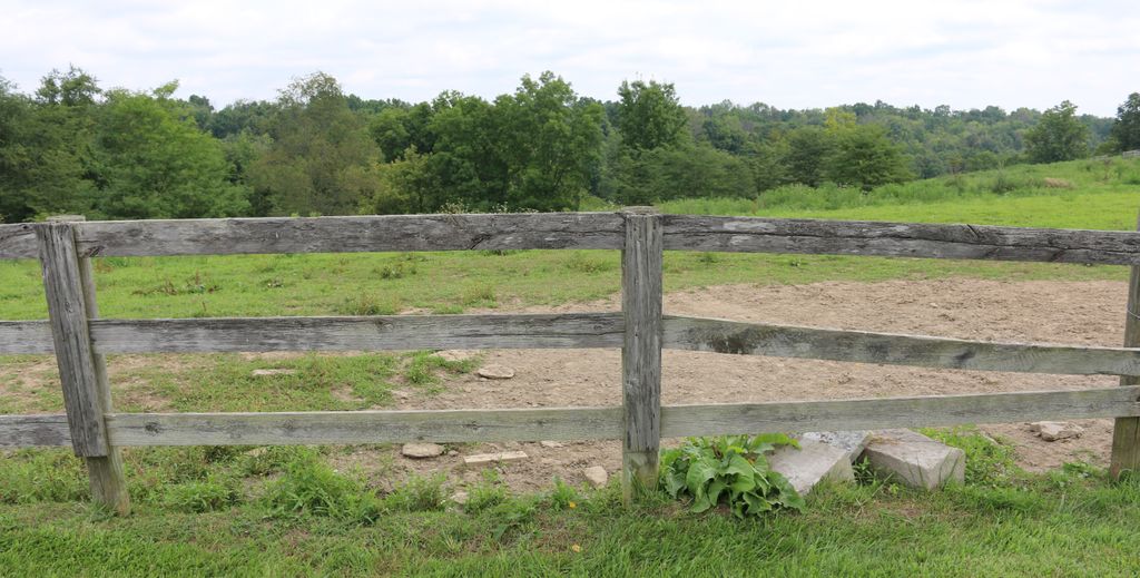
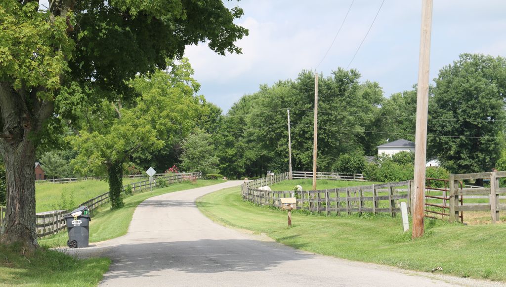
| Description | : | The cemetery is located by the pasture fence on the north side of Bagby Road about 1.45 miles east of its junction with Dixie Highway (US 25). The U.S. Geological Survey (USGS) Geographic Names Information System (GNIS) feature ID for the cemetery is 506275 (Watkins Cemetery). |
frequently asked questions (FAQ):
-
Where is Watkins Cemetery?
Watkins Cemetery is located at 672 Bagby Road Kenton County ,Kentucky , 41030USA.
-
Watkins Cemetery cemetery's updated grave count on graveviews.com?
0 memorials
-
Where are the coordinates of the Watkins Cemetery?
Latitude: 38.7982840
Longitude: -84.5692530
Nearby Cemetories:
1. Peebles Cemetery
Bracht, Kenton County, USA
Coordinate: 38.8055030, -84.5790020
2. Doud Cemetery
Grant County, USA
Coordinate: 38.7877998, -84.5511017
3. Mann Cemetery
Piner, Kenton County, USA
Coordinate: 38.8175000, -84.5625000
4. Sayers Cemetery
Bracht, Kenton County, USA
Coordinate: 38.8133011, -84.5886002
5. Fishback Cemetery
Kenton County, USA
Coordinate: 38.8100014, -84.5453033
6. Collins Cemetery
Kenton County, USA
Coordinate: 38.7966995, -84.5975037
7. Carlisle Cemetery
Kenton County, USA
Coordinate: 38.8227770, -84.5691600
8. Cook-Smith Cemetery
Grant County, USA
Coordinate: 38.7756004, -84.5558014
9. Current Cemetery
Bracht, Kenton County, USA
Coordinate: 38.8205986, -84.5886002
10. Menefee Cemetery
Flingsville, Grant County, USA
Coordinate: 38.7748730, -84.5446770
11. Crittenden Christian Cemetery
Crittenden, Grant County, USA
Coordinate: 38.7818500, -84.6033000
12. Curtis Lloyd Gravesite
Crittenden, Grant County, USA
Coordinate: 38.7726850, -84.5989020
13. Mann Cemetery
Grant County, USA
Coordinate: 38.7733002, -84.5382996
14. Allphin Cemetery
Kenton County, USA
Coordinate: 38.8117570, -84.6107770
15. Tucker Cemetery
Piner, Kenton County, USA
Coordinate: 38.8286018, -84.5432968
16. Goshen Christian Church Cemetery
Bracht, Kenton County, USA
Coordinate: 38.8288800, -84.5402777
17. Rouse Cemetery
Crittenden, Grant County, USA
Coordinate: 38.7713900, -84.6056790
18. Powers Cemetery
Kenton County, USA
Coordinate: 38.8232994, -84.6082993
19. Jones Cemetery
Piner, Kenton County, USA
Coordinate: 38.8400000, -84.5752780
20. Webster Cemetery
Piner, Kenton County, USA
Coordinate: 38.8388890, -84.5877780
21. Carters Chapel Cemetery
Gardnersville, Pendleton County, USA
Coordinate: 38.7859000, -84.5131900
22. Penick Cemetery #2
Sherman, Grant County, USA
Coordinate: 38.7503014, -84.5653000
23. Northcutt Cemetery
Kenton County, USA
Coordinate: 38.8493996, -84.5717010
24. Sechrest Cemetery
Grant County, USA
Coordinate: 38.7546997, -84.6038971