
| Memorials | : | 0 |
| Location | : | Piner, Kenton County, USA |
| Coordinate | : | 38.8400000, -84.5752780 |
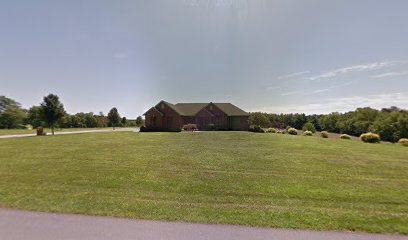
| Description | : | The cemetery is listed as Jones Cemetery on page 42 of Small Kenton County, Kentucky, Cemeteries, published by the Kenton County Historical Society, Cemetery Committee, and on page 42 of Kenton County Cemeteries, published by the Kenton County Historical Society, Covington, Kentucky, 1981. The cemetery inscriptions were recorded in 1975, reporting 7 graves identifiable by inscription and several unidentifiable graves. The cemetery location is given as latitude 38° 50’ 24” and longitude 84° 34’ 31” in the Walton Quadrangle. The cemetery location is described as “Green Rd. off of U.S. 25”. |
frequently asked questions (FAQ):
-
Where is Jones Cemetery?
Jones Cemetery is located at Green Road (Kentucky State Highway 2043) Piner, Kenton County ,Kentucky , 41063USA.
-
Jones Cemetery cemetery's updated grave count on graveviews.com?
0 memorials
-
Where are the coordinates of the Jones Cemetery?
Latitude: 38.8400000
Longitude: -84.5752780
Nearby Cemetories:
1. Webster Cemetery
Piner, Kenton County, USA
Coordinate: 38.8388890, -84.5877780
2. Northcutt Cemetery
Kenton County, USA
Coordinate: 38.8493996, -84.5717010
3. Carlisle Cemetery
Kenton County, USA
Coordinate: 38.8227770, -84.5691600
4. Byland Cemetery
Kenton County, USA
Coordinate: 38.8577995, -84.5824966
5. Current Cemetery
Bracht, Kenton County, USA
Coordinate: 38.8205986, -84.5886002
6. Mann Cemetery
Piner, Kenton County, USA
Coordinate: 38.8175000, -84.5625000
7. Tucker Cemetery
Piner, Kenton County, USA
Coordinate: 38.8286018, -84.5432968
8. Sayers Cemetery
Bracht, Kenton County, USA
Coordinate: 38.8133011, -84.5886002
9. Goshen Christian Church Cemetery
Bracht, Kenton County, USA
Coordinate: 38.8288800, -84.5402777
10. Powers Cemetery
Kenton County, USA
Coordinate: 38.8232994, -84.6082993
11. Peebles Cemetery
Bracht, Kenton County, USA
Coordinate: 38.8055030, -84.5790020
12. Ross Cemetery
Walton, Boone County, USA
Coordinate: 38.8697230, -84.6033330
13. Fishback Cemetery
Kenton County, USA
Coordinate: 38.8100014, -84.5453033
14. Cruises Creek Baptist Church Cemetery
Kenton County, USA
Coordinate: 38.8788730, -84.5694070
15. Allphin Cemetery
Kenton County, USA
Coordinate: 38.8117570, -84.6107770
16. Watkins Cemetery
Kenton County, USA
Coordinate: 38.7982840, -84.5692530
17. Salem Predestinarian Baptist Church Cemetery
Boone County, USA
Coordinate: 38.8500595, -84.6287766
18. Finnell-Burton-Roberts Cemetery
Walton, Boone County, USA
Coordinate: 38.8665940, -84.6216130
19. Collins Cemetery
Kenton County, USA
Coordinate: 38.7966995, -84.5975037
20. Young Cemetery
Morning View, Kenton County, USA
Coordinate: 38.8664017, -84.5239029
21. Percival Cemetery
Bank Lick, Kenton County, USA
Coordinate: 38.8875000, -84.5913890
22. Doud Cemetery
Grant County, USA
Coordinate: 38.7877998, -84.5511017
23. Robinson Cemetery
Walton, Boone County, USA
Coordinate: 38.8888890, -84.6100000
24. Roberts Family Cemetery
Walton, Boone County, USA
Coordinate: 38.8531970, -84.6457220