
| Memorials | : | 4 |
| Location | : | Celina, Clay County, USA |
| Coordinate | : | 36.5370750, -85.4846300 |
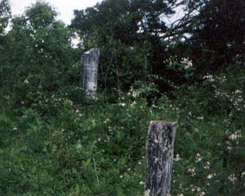
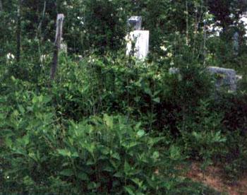
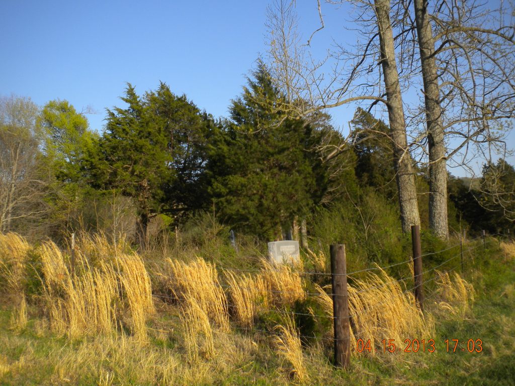
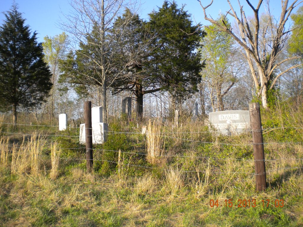
| Description | : | This cemetery is on property that used to belong to the Peterman family. It is located on a bluff overlooking the Obey River. The cemetery is in very bad shape as the berry vines and wild honeysuckle vines and poison ivy have grown all over the graves. |
frequently asked questions (FAQ):
-
Where is Peterman Bend Cemetery?
Peterman Bend Cemetery is located at Celina, Clay County ,Tennessee ,USA.
-
Peterman Bend Cemetery cemetery's updated grave count on graveviews.com?
4 memorials
-
Where are the coordinates of the Peterman Bend Cemetery?
Latitude: 36.5370750
Longitude: -85.4846300
Nearby Cemetories:
1. Gates Cemetery
Celina, Clay County, USA
Coordinate: 36.5422640, -85.4891440
2. Walker Cemetery
Celina, Clay County, USA
Coordinate: 36.5372009, -85.4728012
3. Tinsley Cemetery
Cave Springs, Clay County, USA
Coordinate: 36.5527992, -85.4800034
4. Robert Arms Cemetery
Pea Ridge, Clay County, USA
Coordinate: 36.5432790, -85.4657820
5. Old Fitzgerald Cemetery
Celina, Clay County, USA
Coordinate: 36.5509750, -85.4958417
6. Fitzgerald Cemetery
Celina, Clay County, USA
Coordinate: 36.5518990, -85.4966965
7. Hamilton Cemetery
Celina, Clay County, USA
Coordinate: 36.5517271, -85.4970509
8. Green Cemetery
Celina, Clay County, USA
Coordinate: 36.5496418, -85.5024450
9. Page Family Cemetery
Free Hill, Clay County, USA
Coordinate: 36.5623018, -85.4844294
10. Dale Davis Cemetery
Clay County, USA
Coordinate: 36.5143600, -85.4685300
11. Free Hill Cemetery
Clay County, USA
Coordinate: 36.5628014, -85.4955978
12. Varney Andrews Cemetery
Celina, Clay County, USA
Coordinate: 36.5604650, -85.5209530
13. Stone Cemetery
Clay County, USA
Coordinate: 36.5713997, -85.5136032
14. Hamilton Cemetery
Clay County, USA
Coordinate: 36.5181007, -85.5338974
15. Keen Cemetery
Clay County, USA
Coordinate: 36.5116997, -85.4385986
16. Plumlee Cemetery
Celina, Clay County, USA
Coordinate: 36.5694280, -85.5282830
17. Ray Williams Cemetery
Pea Ridge, Clay County, USA
Coordinate: 36.5856130, -85.4598120
18. Mabry Cemetery
Clay County, USA
Coordinate: 36.5139008, -85.5464020
19. McDonald Cemetery
Baptist Ridge, Clay County, USA
Coordinate: 36.4855995, -85.5119019
20. Hall Cemetery
Clay County, USA
Coordinate: 36.4994011, -85.5366974
21. Doc Hall Cemetery
Clay County, USA
Coordinate: 36.4995390, -85.5369270
22. Dalton Cemetery
Arcott, Clay County, USA
Coordinate: 36.5429540, -85.5546170
23. Bowe Cemetery
Pea Ridge, Clay County, USA
Coordinate: 36.5833015, -85.4439011
24. Key Cemetery
Pea Ridge, Clay County, USA
Coordinate: 36.5875015, -85.4518967