
| Memorials | : | 2 |
| Location | : | Pea Ridge, Clay County, USA |
| Coordinate | : | 36.5432790, -85.4657820 |
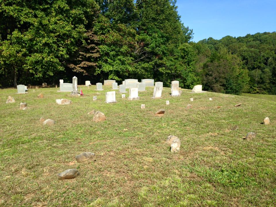
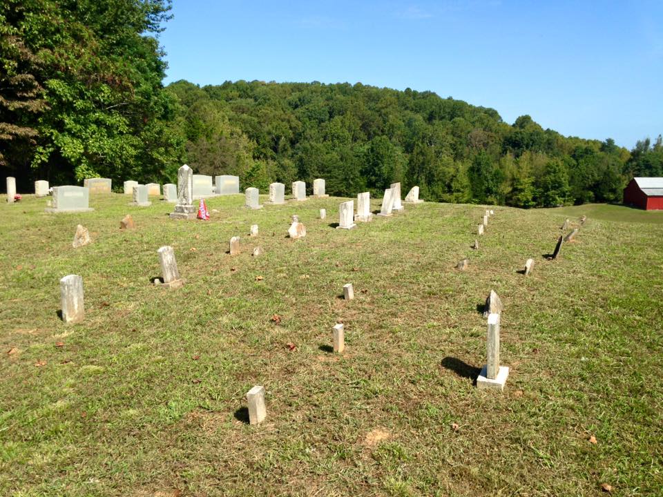
| Description | : | Located in the Pea Ridge Community west of the Burkesville Highway. From Burkesville Highway turn onto second W. Old Fifty-three Road and go 0.3 miles to Pea Ridge Fire Tower Road. Go 1.8 miles to a gravel road and turn right. Cemetery is at end of gravel road on a hill. Well kept. |
frequently asked questions (FAQ):
-
Where is Robert Arms Cemetery?
Robert Arms Cemetery is located at Pea Ridge, Clay County ,Tennessee ,USA.
-
Robert Arms Cemetery cemetery's updated grave count on graveviews.com?
2 memorials
-
Where are the coordinates of the Robert Arms Cemetery?
Latitude: 36.5432790
Longitude: -85.4657820
Nearby Cemetories:
1. Walker Cemetery
Celina, Clay County, USA
Coordinate: 36.5372009, -85.4728012
2. Tinsley Cemetery
Cave Springs, Clay County, USA
Coordinate: 36.5527992, -85.4800034
3. Peterman Bend Cemetery
Celina, Clay County, USA
Coordinate: 36.5370750, -85.4846300
4. Gates Cemetery
Celina, Clay County, USA
Coordinate: 36.5422640, -85.4891440
5. Page Family Cemetery
Free Hill, Clay County, USA
Coordinate: 36.5623018, -85.4844294
6. Old Fitzgerald Cemetery
Celina, Clay County, USA
Coordinate: 36.5509750, -85.4958417
7. Fitzgerald Cemetery
Celina, Clay County, USA
Coordinate: 36.5518990, -85.4966965
8. Hamilton Cemetery
Celina, Clay County, USA
Coordinate: 36.5517271, -85.4970509
9. Dale Davis Cemetery
Clay County, USA
Coordinate: 36.5143600, -85.4685300
10. Green Cemetery
Celina, Clay County, USA
Coordinate: 36.5496418, -85.5024450
11. Free Hill Cemetery
Clay County, USA
Coordinate: 36.5628014, -85.4955978
12. Keen Cemetery
Clay County, USA
Coordinate: 36.5116997, -85.4385986
13. Buford Cemetery
Clay County, USA
Coordinate: 36.5405998, -85.4139023
14. Ray Williams Cemetery
Pea Ridge, Clay County, USA
Coordinate: 36.5856130, -85.4598120
15. Bowe Cemetery
Pea Ridge, Clay County, USA
Coordinate: 36.5833015, -85.4439011
16. Key Cemetery
Pea Ridge, Clay County, USA
Coordinate: 36.5875015, -85.4518967
17. Varney Andrews Cemetery
Celina, Clay County, USA
Coordinate: 36.5604650, -85.5209530
18. Stone Cemetery
Clay County, USA
Coordinate: 36.5713997, -85.5136032
19. Grover Rich Cemetery
Pea Ridge, Clay County, USA
Coordinate: 36.5946370, -85.4602970
20. Smith Family Cemetery
Clay County, USA
Coordinate: 36.5073684, -85.4173430
21. Donaldson Cemetery
Pea Ridge, Clay County, USA
Coordinate: 36.5952988, -85.4424973
22. Plumlee Cemetery
Celina, Clay County, USA
Coordinate: 36.5694280, -85.5282830
23. Mullins - Kerr Cemetery
Pea Ridge, Clay County, USA
Coordinate: 36.5951330, -85.4317470
24. Hamilton Cemetery
Clay County, USA
Coordinate: 36.5181007, -85.5338974