
| Memorials | : | 0 |
| Location | : | Celina, Clay County, USA |
| Coordinate | : | 36.5422640, -85.4891440 |
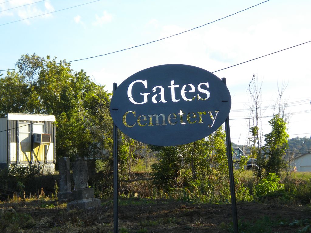
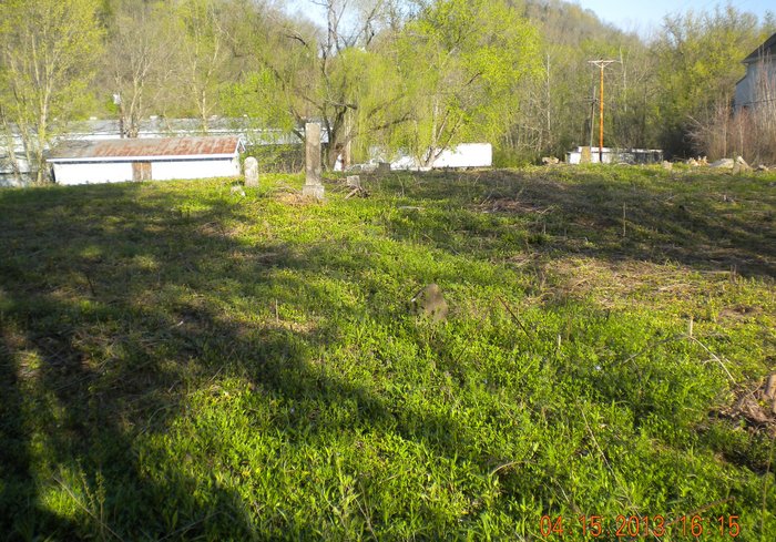
| Description | : | On a knoll at the west end and north side of the Obed [Obey] River bridge on the old Stone and Gates farm. Located in Celina. From East Lake Avenue turn onto Theater Drive. Cemetery is on right side of street behind a business building located there. The surrounding land is no longer owned by any members of the Stone or Gates families. The Cemetery is being cleaned up by family members who live in Celina and the surrounding area. The sign was made by the local Future Farmers of America Chapter and paid for... Read More |
frequently asked questions (FAQ):
-
Where is Gates Cemetery?
Gates Cemetery is located at Located in Celina. From East Lake Avenue turn onto Theater Dri. Cemetery is on right side of street Celina, Clay County ,Tennessee , 38551USA.
-
Gates Cemetery cemetery's updated grave count on graveviews.com?
0 memorials
-
Where are the coordinates of the Gates Cemetery?
Latitude: 36.5422640
Longitude: -85.4891440
Nearby Cemetories:
1. Peterman Bend Cemetery
Celina, Clay County, USA
Coordinate: 36.5370750, -85.4846300
2. Old Fitzgerald Cemetery
Celina, Clay County, USA
Coordinate: 36.5509750, -85.4958417
3. Fitzgerald Cemetery
Celina, Clay County, USA
Coordinate: 36.5518990, -85.4966965
4. Hamilton Cemetery
Celina, Clay County, USA
Coordinate: 36.5517271, -85.4970509
5. Tinsley Cemetery
Cave Springs, Clay County, USA
Coordinate: 36.5527992, -85.4800034
6. Green Cemetery
Celina, Clay County, USA
Coordinate: 36.5496418, -85.5024450
7. Walker Cemetery
Celina, Clay County, USA
Coordinate: 36.5372009, -85.4728012
8. Robert Arms Cemetery
Pea Ridge, Clay County, USA
Coordinate: 36.5432790, -85.4657820
9. Page Family Cemetery
Free Hill, Clay County, USA
Coordinate: 36.5623018, -85.4844294
10. Free Hill Cemetery
Clay County, USA
Coordinate: 36.5628014, -85.4955978
11. Varney Andrews Cemetery
Celina, Clay County, USA
Coordinate: 36.5604650, -85.5209530
12. Dale Davis Cemetery
Clay County, USA
Coordinate: 36.5143600, -85.4685300
13. Stone Cemetery
Clay County, USA
Coordinate: 36.5713997, -85.5136032
14. Plumlee Cemetery
Celina, Clay County, USA
Coordinate: 36.5694280, -85.5282830
15. Hamilton Cemetery
Clay County, USA
Coordinate: 36.5181007, -85.5338974
16. Ray Williams Cemetery
Pea Ridge, Clay County, USA
Coordinate: 36.5856130, -85.4598120
17. Keen Cemetery
Clay County, USA
Coordinate: 36.5116997, -85.4385986
18. Dalton Cemetery
Arcott, Clay County, USA
Coordinate: 36.5429540, -85.5546170
19. Mabry Cemetery
Clay County, USA
Coordinate: 36.5139008, -85.5464020
20. Key Cemetery
Pea Ridge, Clay County, USA
Coordinate: 36.5875015, -85.4518967
21. Bowe Cemetery
Pea Ridge, Clay County, USA
Coordinate: 36.5833015, -85.4439011
22. Edens-Smith Cemetery
Clay County, USA
Coordinate: 36.5979390, -85.4976300
23. Crawford Cemetery
Celina, Clay County, USA
Coordinate: 36.5979660, -85.4976660
24. Lester Brown Family Cemetery
Arcott, Clay County, USA
Coordinate: 36.5205700, -85.5547530