| Memorials | : | 25 |
| Location | : | Pickering, Ryedale District, England |
| Coordinate | : | 54.2490600, -0.7703600 |
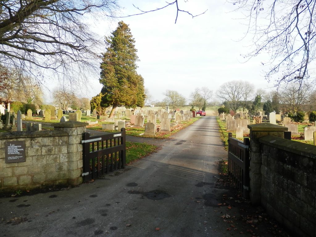
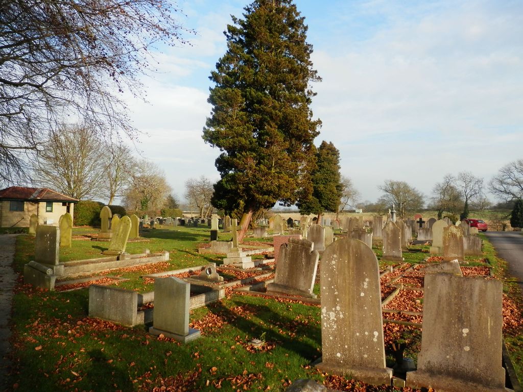
| Description | : | Pickering Town Council is the burial authority responsible for the public cemetery at Whitby Road. The council also maintains the closed churchyard, an area containing graves, memorials and footways, to the south of the parish church of St Peter & St Paul . |
frequently asked questions (FAQ):
-
Where is Pickering Cemetery?
Pickering Cemetery is located at Whitby Road Pickering, Ryedale District ,North Yorkshire ,England.
-
Pickering Cemetery cemetery's updated grave count on graveviews.com?
25 memorials
-
Where are the coordinates of the Pickering Cemetery?
Latitude: 54.2490600
Longitude: -0.7703600
Nearby Cemetories:
1. St Peter and St Paul Churchyard
Pickering, Ryedale District, England
Coordinate: 54.2456660, -0.7754960
2. St Andrews Churchyard
Middleton, Ryedale District, England
Coordinate: 54.2587270, -0.8009640
3. St Andrew Churchyard
Middleton, Ryedale District, England
Coordinate: 54.2587500, -0.8011900
4. All Saints Churchyard
Thornton-le-Dale, Ryedale District, England
Coordinate: 54.2369200, -0.7157200
5. St Hilda Churchyard
Ellerburn, Ryedale District, England
Coordinate: 54.2467450, -0.7102990
6. Thornton-le-Dale Cemetery
Thornton-le-Dale, Ryedale District, England
Coordinate: 54.2347701, -0.7130102
7. St Laurence Churchyard
Kirby Misperton, Ryedale District, England
Coordinate: 54.2057120, -0.8070710
8. Newton upon Rawcliffe Cemetery
Newton-on-Rawcliffe, Ryedale District, England
Coordinate: 54.2998382, -0.7503566
9. All Saints Churchyard
Sinnington, Ryedale District, England
Coordinate: 54.2647920, -0.8556060
10. St. John’s Churchyard
Newton-on-Rawcliffe, Ryedale District, England
Coordinate: 54.3022700, -0.7520000
11. St. George's Churchyard
Thornton-le-Dale, Ryedale District, England
Coordinate: 54.2332104, -0.6793328
12. St. George's Churchyard
Wilton, Ryedale District, England
Coordinate: 54.2331460, -0.6792900
13. St Mary the Virgin Churchyard
Levisham, Ryedale District, England
Coordinate: 54.2992000, -0.7223000
14. St. Gregory Churchyard
Cropton, Ryedale District, England
Coordinate: 54.2935460, -0.8394850
15. St Giles Churchyard
Lockton, Ryedale District, England
Coordinate: 54.2987100, -0.7057700
16. Lockton Cemetery
Lockton, Ryedale District, England
Coordinate: 54.2977400, -0.7003200
17. St. Andrew's Churchyard
Normanby, Ryedale District, England
Coordinate: 54.2253710, -0.8744810
18. Christ Church Churchyard
Appleton-le-Moors, Ryedale District, England
Coordinate: 54.2832030, -0.8729120
19. St John Churchyard
Allerston, Ryedale District, England
Coordinate: 54.2342700, -0.6542290
20. St. Mary the Virgin Churchyard
Ebberston, Ryedale District, England
Coordinate: 54.2375130, -0.6330510
21. St Mary Churchyard
Lastingham, Ryedale District, England
Coordinate: 54.3046870, -0.8827260
22. St. John of Beverley Parish Churchyard
Salton, Ryedale District, England
Coordinate: 54.2105680, -0.9028560
23. St. Michael and All Angels Churchyard
Edstone, Ryedale District, England
Coordinate: 54.2469000, -0.9188000
24. St. John the Baptist Churchyard
Yedingham, Ryedale District, England
Coordinate: 54.2041744, -0.6320491


