| Memorials | : | 17 |
| Location | : | Edstone, Ryedale District, England |
| Coordinate | : | 54.2469000, -0.9188000 |
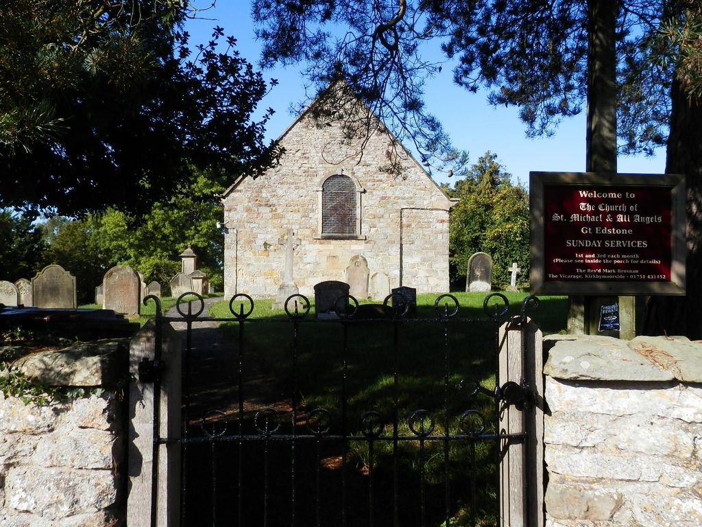
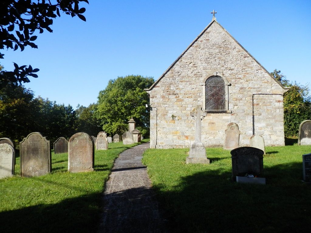
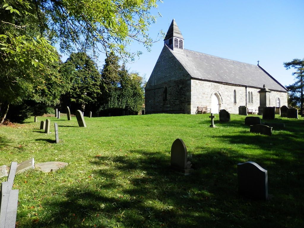
| Description | : | The Church of St Michael and All Angels lies in the village of Great Edstone, the main settlement of Edstone civil parish in the Ryedale district of the county of North Yorkshire, and is about two miles to the south of Kirkbymoorside. Great Edstone stands two hundred feet above the Vale of Pickering, on an oval mound of earth created by retreating glaciers from about 30,000BC, and today there are fine views of the surrounding countryside from the churchyard. Originally of Saxon origin, the church was rebuilt in the 13th century, with later additions during the 18th and 19th centuries. The font... Read More |
frequently asked questions (FAQ):
-
Where is St. Michael and All Angels Churchyard?
St. Michael and All Angels Churchyard is located at Edstone, Ryedale District ,North Yorkshire ,England.
-
St. Michael and All Angels Churchyard cemetery's updated grave count on graveviews.com?
15 memorials
-
Where are the coordinates of the St. Michael and All Angels Churchyard?
Latitude: 54.2469000
Longitude: -0.9188000
Nearby Cemetories:
1. All Saints Churchyard
Kirkbymoorside, Ryedale District, England
Coordinate: 54.2703470, -0.9310110
2. St Gregory Minster Churchyard
Nawton, Ryedale District, England
Coordinate: 54.2627570, -0.9621910
3. St. Gregory's Minster Churchyard
Kirkdale, Ryedale District, England
Coordinate: 54.2628300, -0.9622613
4. St Gregory Minster Churchyard Extension
Nawton, Ryedale District, England
Coordinate: 54.2628100, -0.9629100
5. St. Andrew's Churchyard
Normanby, Ryedale District, England
Coordinate: 54.2253710, -0.8744810
6. St. John of Beverley Parish Churchyard
Salton, Ryedale District, England
Coordinate: 54.2105680, -0.9028560
7. All Saints Churchyard
Sinnington, Ryedale District, England
Coordinate: 54.2647920, -0.8556060
8. Christ Church Churchyard
Appleton-le-Moors, Ryedale District, England
Coordinate: 54.2832030, -0.8729120
9. St Chad Churchyard
Hutton-le-Hole, Ryedale District, England
Coordinate: 54.3000700, -0.9167300
10. St Saviour Churchyard
Harome, Ryedale District, England
Coordinate: 54.2302000, -1.0088000
11. Harome Village Cemetery
Harome, Ryedale District, England
Coordinate: 54.2308650, -1.0096380
12. All Saints and St James Church
Nunnington, Ryedale District, England
Coordinate: 54.2031000, -0.9806000
13. St Aidan Churchyard
Gillamoor, Ryedale District, England
Coordinate: 54.3023510, -0.9502880
14. St Mary Churchyard
Lastingham, Ryedale District, England
Coordinate: 54.3046870, -0.8827260
15. St. Gregory Churchyard
Cropton, Ryedale District, England
Coordinate: 54.2935460, -0.8394850
16. St Andrew Churchyard
Middleton, Ryedale District, England
Coordinate: 54.2587500, -0.8011900
17. St Andrews Churchyard
Middleton, Ryedale District, England
Coordinate: 54.2587270, -0.8009640
18. Stonegrave Minster Churchyard
Stonegrave, Ryedale District, England
Coordinate: 54.1925011, -0.9966000
19. St Laurence Churchyard
Kirby Misperton, Ryedale District, England
Coordinate: 54.2057120, -0.8070710
20. Hovingham Cemetery
Hovingham, Ryedale District, England
Coordinate: 54.1753500, -0.9808900
21. All Saints Churchyard
Slingsby, Ryedale District, England
Coordinate: 54.1655800, -0.9342900
22. Slingsby Cemetery
Slingsby, Ryedale District, England
Coordinate: 54.1650600, -0.9256700
23. All Saints Churchyard
Hovingham, Ryedale District, England
Coordinate: 54.1728980, -0.9801260
24. Helmsley Town Cemetery
Helmsley, Ryedale District, England
Coordinate: 54.2483300, -1.0620300


