
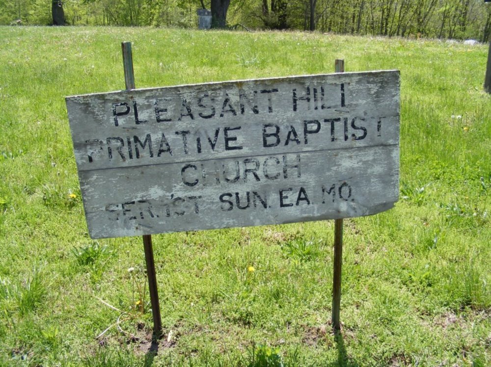
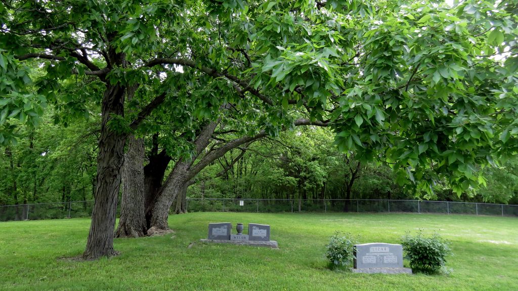
| Memorials | : | 1 |
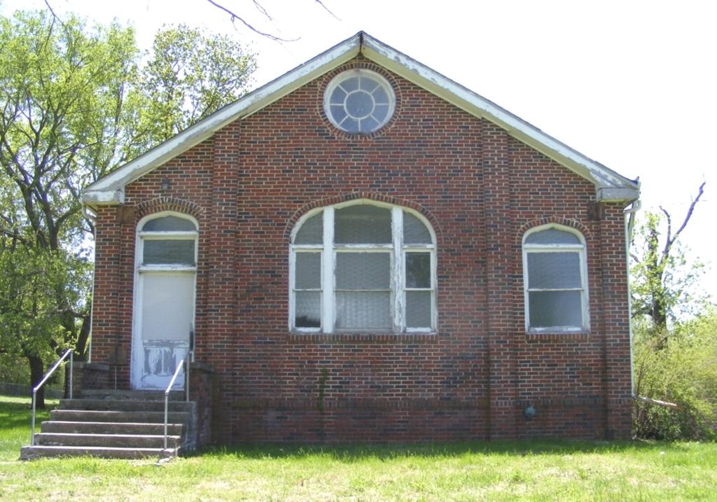
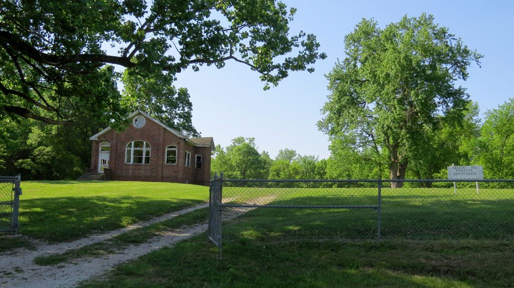
| Location | : | Trimble, Clinton County, USA |
| Coordinate | : | 39.4697495, -94.5203629 |
frequently asked questions (FAQ):
-
Where is Pleasant Hill Primitive Baptist Church Cemetery?
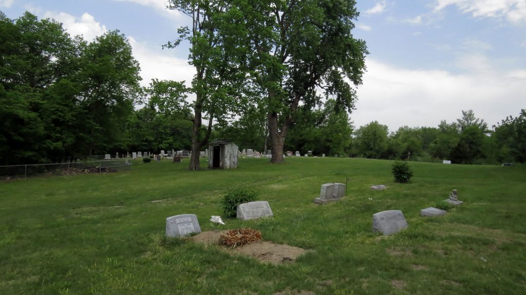
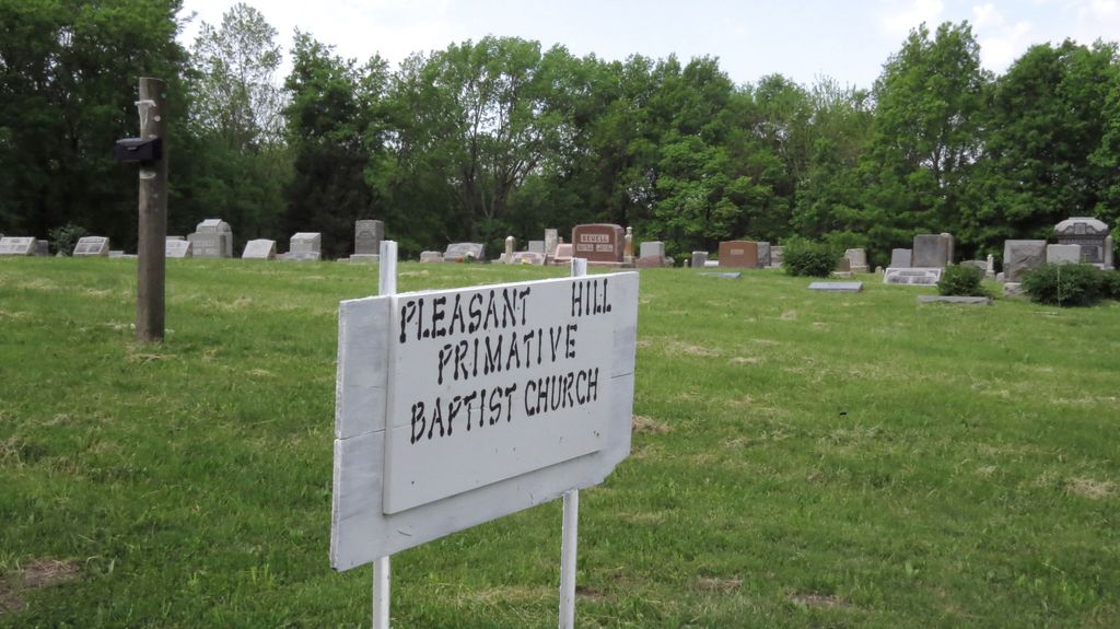
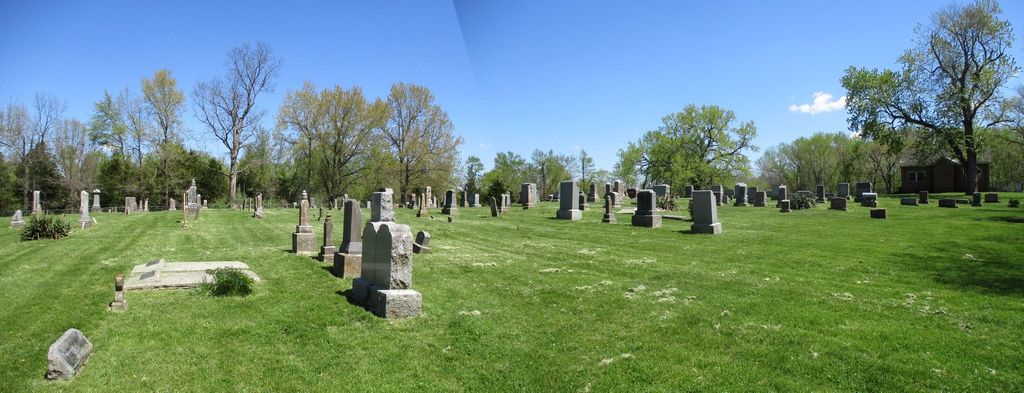
Pleasant Hill Primitive Baptist Church Cemetery is located at Trimble, Clinton County ,Missouri ,USA.
-
Pleasant Hill Primitive Baptist Church Cemetery cemetery's updated grave count on graveviews.com?
1 memorials
-
Where are the coordinates of the Pleasant Hill Primitive Baptist Church Cemetery?
Latitude: 39.4697495
Longitude: -94.5203629
Nearby Cemetories:
1. Mecca Cemetery
Mecca, Clinton County, USA
Coordinate: 39.4895200, -94.5105200
2. Garner Cemetery
Clay County, USA
Coordinate: 39.4420600, -94.5035700
3. Elliott Cemetery
Grayson, Clinton County, USA
Coordinate: 39.5062000, -94.5452000
4. Davenport Cemetery
Excelsior Springs Junction, Clay County, USA
Coordinate: 39.4375000, -94.5556030
5. Stony Point Cemetery
Trimble, Clinton County, USA
Coordinate: 39.5136108, -94.5336075
6. Paradise Cemetery
Paradise, Clay County, USA
Coordinate: 39.4244804, -94.5149307
7. Rollins Family Cemetery
Clay County, USA
Coordinate: 39.4301200, -94.5556000
8. Wade-Bailey Cemetery
Clay County, USA
Coordinate: 39.4206600, -94.4935700
9. Reed Cemetery
Trimble, Clinton County, USA
Coordinate: 39.4945908, -94.5832138
10. Fairview Cemetery
Guyton, Clinton County, USA
Coordinate: 39.4756012, -94.4443970
11. Cook Cemetery
Clinton County, USA
Coordinate: 39.4805984, -94.4452972
12. Winn family Cemetery
Clinton County, USA
Coordinate: 39.5019500, -94.5845200
13. Aker Cemetery
Clay County, USA
Coordinate: 39.4109955, -94.5460129
14. Eberts Cemetery
Clinton County, USA
Coordinate: 39.4692001, -94.4356003
15. Grayson Cemetery
Grayson, Clinton County, USA
Coordinate: 39.5266991, -94.5733032
16. Hanks Cemetery
Clinton County, USA
Coordinate: 39.5289001, -94.4625015
17. Mount Zion Cemetery
Plattsburg, Clinton County, USA
Coordinate: 39.4672012, -94.4242020
18. Goss Cemetery
Smithville, Clay County, USA
Coordinate: 39.4118996, -94.5922012
19. Owens Cemetery
Smithville, Clay County, USA
Coordinate: 39.3993500, -94.5719200
20. Shafer Cemetery
Smithville, Clay County, USA
Coordinate: 39.4013300, -94.5790900
21. Duncan Cemetery
Smithville, Clay County, USA
Coordinate: 39.3867336, -94.5214471
22. Arley Cemetery
Kearney, Clay County, USA
Coordinate: 39.4041061, -94.4458237
23. Standiford Cemetery
Edgerton, Platte County, USA
Coordinate: 39.4994011, -94.6288986
24. Grayson Cemetery
Ridgely, Platte County, USA
Coordinate: 39.4633300, -94.6354200