
| Memorials | : | 0 |
| Location | : | Seagrove, Randolph County, USA |
| Coordinate | : | 35.5187880, -79.6816070 |
frequently asked questions (FAQ):
-
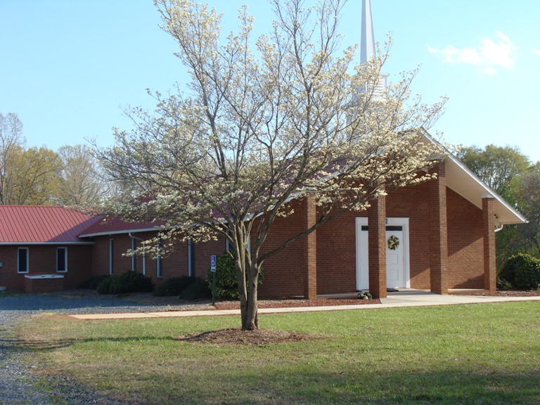
Where is Community Independent Baptist Church Cemetery?
Community Independent Baptist Church Cemetery is located at 3228 Brower Mill Rd Seagrove, Randolph County ,North Carolina ,USA.
-
Community Independent Baptist Church Cemetery cemetery's updated grave count on graveviews.com?
0 memorials
-
Where are the coordinates of the Community Independent Baptist Church Cemetery?
Latitude: 35.5187880
Longitude: -79.6816070
Nearby Cemetories:
1. Trinity Wesleyan Church Cemetery
Seagrove, Randolph County, USA
Coordinate: 35.5439660, -79.6777180
2. New Center Christian Church Cemetery
Seagrove, Randolph County, USA
Coordinate: 35.5335110, -79.7077100
3. Union Grove Baptist Church Cemetery
Seagrove, Randolph County, USA
Coordinate: 35.5137430, -79.7224430
4. Needham's Grove Baptist Church Cemetery
Robbins, Moore County, USA
Coordinate: 35.5069240, -79.6398630
5. Mount Olivet United Methodist Church Cemetery
Coleridge, Randolph County, USA
Coordinate: 35.5527400, -79.6593200
6. Little Oak Church of God Cemetery
Robbins, Moore County, USA
Coordinate: 35.4773960, -79.6720470
7. Allred Family Cemetery
Westmore, Moore County, USA
Coordinate: 35.4769500, -79.6687400
8. Maness Family Cemetery
Coleridge, Randolph County, USA
Coordinate: 35.5315700, -79.6235700
9. Spencer Family Cemetery
Seagrove, Randolph County, USA
Coordinate: 35.5528110, -79.7310880
10. Mount Zion Wesleyan Church Cemetery
Moore County, USA
Coordinate: 35.4838290, -79.7376190
11. Pleasant Hill United Methodist Church
Seagrove, Randolph County, USA
Coordinate: 35.5732574, -79.7067261
12. Cagle Cemetery
Moore County, USA
Coordinate: 35.5007090, -79.7518280
13. Riverside Baptist Church Cemetery
Seagrove, Randolph County, USA
Coordinate: 35.5337430, -79.6099330
14. Fair Grove Methodist Church Cemetery
Seagrove, Randolph County, USA
Coordinate: 35.5308460, -79.7576500
15. Whynot Wesleyan Church Cemetery
Seagrove, Randolph County, USA
Coordinate: 35.5275090, -79.7586590
16. Smyrna United Methodist Church Cemetery
Robbins, Moore County, USA
Coordinate: 35.4940200, -79.6097400
17. Whynot Cemetery
Seagrove, Randolph County, USA
Coordinate: 35.5315800, -79.7589200
18. Piney Ridge UMC Cemetery
Seagrove, Randolph County, USA
Coordinate: 35.5898720, -79.6944330
19. Pleasant Hill United Methodist Church Cemetery
Seagrove, Randolph County, USA
Coordinate: 35.5641190, -79.6124860
20. Antioch Christian Church Cemetery
Seagrove, Randolph County, USA
Coordinate: 35.5847980, -79.6361780
21. Shamburger Cemetery
Moore County, USA
Coordinate: 35.4533005, -79.7300034
22. Seagrove Christian Church Cemetery
Seagrove, Randolph County, USA
Coordinate: 35.5389550, -79.7733010
23. New Zion Hill Cemetery
Moore County, USA
Coordinate: 35.4743996, -79.6031036
24. Owen/Brewer camp meeting cemetery
Robbins, Moore County, USA
Coordinate: 35.4408422, -79.6820429