
| Memorials | : | 6 |
| Location | : | Visalia, Kenton County, USA |
| Coordinate | : | 38.9088889, -84.4861111 |
| Description | : | The U.S. Geological Survey (USGS) Geographic Names Information System (GNIS) feature ID for the cemetery is 2089848 (Adams Cemetery). |
frequently asked questions (FAQ):
-
Where is Adams Cemetery?
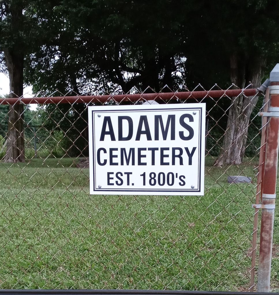
Adams Cemetery is located at Visalia Road and Adams Lane Visalia, Kenton County ,Kentucky ,USA.
-
Adams Cemetery cemetery's updated grave count on graveviews.com?
4 memorials
-
Where are the coordinates of the Adams Cemetery?
Latitude: 38.9088889
Longitude: -84.4861111
Nearby Cemetories:
1. Simmons Cemetery
Visalia, Kenton County, USA
Coordinate: 38.9069440, -84.4677780
2. Grizzell Family Cemetery
Independence, Kenton County, USA
Coordinate: 38.9260320, -84.5089030
3. Rapp Cemetery
Visalia, Kenton County, USA
Coordinate: 38.8869440, -84.4677780
4. Hoffman Cemetery
Independence, Kenton County, USA
Coordinate: 38.9102777, -84.5200000
5. Schwall Cemetery
Morning View, Kenton County, USA
Coordinate: 38.8875000, -84.4633330
6. Rector Cemetery
Atwood, Kenton County, USA
Coordinate: 38.8822900, -84.5001830
7. Stephens Cemetery
Ryland Heights, Kenton County, USA
Coordinate: 38.9374570, -84.4977570
8. Petty Cemetery
Ryland, Kenton County, USA
Coordinate: 38.9391000, -84.4847100
9. Winston Cemetery
Kenton, Kenton County, USA
Coordinate: 38.9030560, -84.4438890
10. Bravard Cemetery
Independence, Kenton County, USA
Coordinate: 38.8780560, -84.5100000
11. Notley Maddox Slave Cemetery
Claryville, Campbell County, USA
Coordinate: 38.9083320, -84.4394440
12. Bird Cemetery
Independence, Kenton County, USA
Coordinate: 38.9027780, -84.5327780
13. Faulkner Cemetery
Independence, Kenton County, USA
Coordinate: 38.9166670, -84.5333330
14. Pruett - Mardis Cemetery
Independence, Kenton County, USA
Coordinate: 38.9463900, -84.4817100
15. Notley Maddox Cemetery
Claryville, Campbell County, USA
Coordinate: 38.9094450, -84.4375010
16. Armstrong Cemetery #1
Nicholson, Kenton County, USA
Coordinate: 38.8961111, -84.5338889
17. Callen Cemetery
Independence, Kenton County, USA
Coordinate: 38.8850000, -84.5266670
18. Hall Cemetery
Visalia, Kenton County, USA
Coordinate: 38.8763890, -84.4527780
19. Ashford Road Cemetery
Independence, Kenton County, USA
Coordinate: 38.9528850, -84.4892100
20. Roberts Cemetery
Kenton, Kenton County, USA
Coordinate: 38.8686110, -84.4611110
21. John Baker Cemetery
Claryville, Campbell County, USA
Coordinate: 38.8759500, -84.4461170
22. Pelley Cemetery
Kenton, Kenton County, USA
Coordinate: 38.8638890, -84.4791670
23. Harrisburg Hill Cemetery
Claryville, Campbell County, USA
Coordinate: 38.8885340, -84.4318870
24. Weinel Family Graveyard
Claryville, Campbell County, USA
Coordinate: 38.9181780, -84.4245220