| Memorials | : | 18 |
| Location | : | Graysville, Monroe County, USA |
| Coordinate | : | 39.6625850, -81.2076540 |
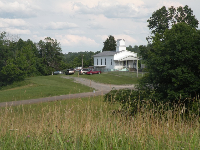
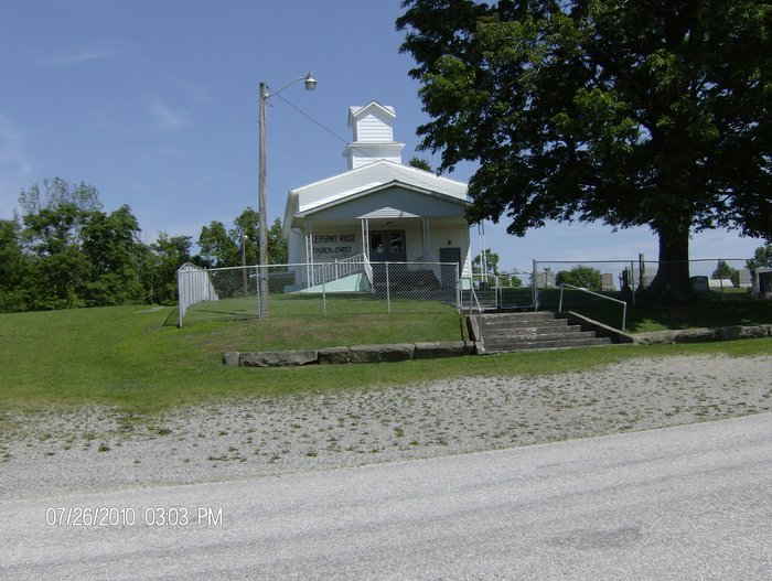
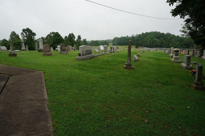
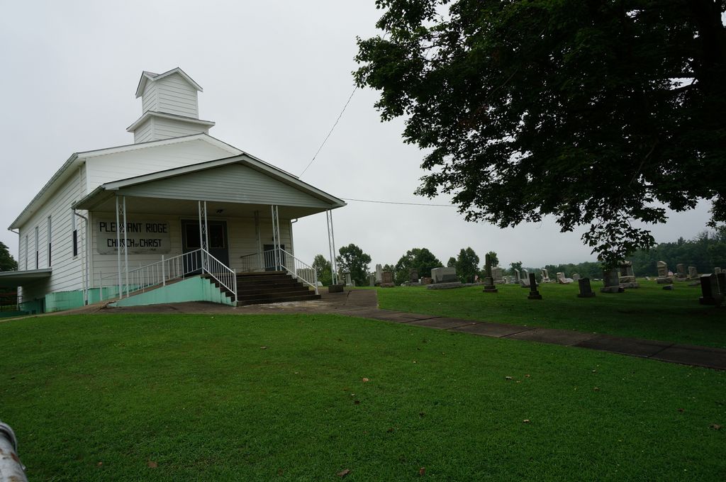
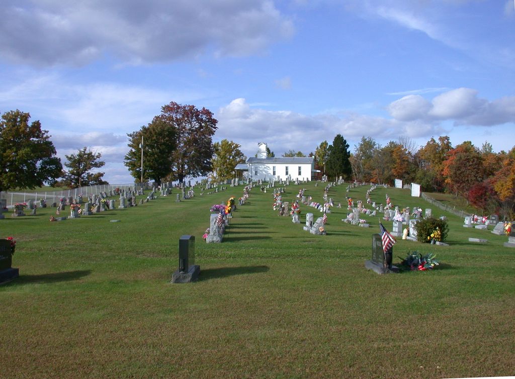
| Description | : | There are two cemeteries in Monroe County named Pleasant Ridge Cemetery. One is in Adams Twp on Six Points Road and this one, which is in Washington Twp on Pleasant Ridge Road. Directions to this Pleasant Ridge Church of Christ Cemetery is as follows: South on 800 out of Woodsfield. Turn right on Rt 26. Turn right on 537. Turn right (North) on Pleasant Ridge Road. Pleasant Ridge cemetery is on the right side of the road beside the church. On up the road 1/2 mile is the "old" Scott Cemetery on the left. Pleasant... Read More |
frequently asked questions (FAQ):
-
Where is Pleasant Ridge Church of Christ Cemetery?
Pleasant Ridge Church of Christ Cemetery is located at Pleasant Ridge Road, Washington twp. Graysville, Monroe County ,Ohio , 45734USA.
-
Pleasant Ridge Church of Christ Cemetery cemetery's updated grave count on graveviews.com?
17 memorials
-
Where are the coordinates of the Pleasant Ridge Church of Christ Cemetery?
Latitude: 39.6625850
Longitude: -81.2076540
Nearby Cemetories:
1. Scott Cemetery
Monroe County, USA
Coordinate: 39.6643982, -81.2117004
2. Henthorn Cemetery
Monroe County, USA
Coordinate: 39.6418991, -81.1994019
3. Knowlton Cemetery
Monroe County, USA
Coordinate: 39.6852989, -81.2052994
4. Hercher Cemetery
Monroe County, USA
Coordinate: 39.6702995, -81.2397003
5. Pioneer Cemetery
Graysville, Monroe County, USA
Coordinate: 39.6672000, -81.1741000
6. Miller Cemetery
Marr, Monroe County, USA
Coordinate: 39.6400000, -81.2272680
7. Graysville Cemetery
Graysville, Monroe County, USA
Coordinate: 39.6632996, -81.1714020
8. McVay Cemetery
Sycamore Valley, Monroe County, USA
Coordinate: 39.6444016, -81.2427979
9. Cline Family Cemetery
Monroe County, USA
Coordinate: 39.6669620, -81.1624430
10. Lamping Cemetery
Graysville, Monroe County, USA
Coordinate: 39.6286846, -81.1884447
11. Hines Chapel Church of Christ Cemetery
Monroe County, USA
Coordinate: 39.6922900, -81.2398300
12. Christy Cemetery
Hilltop, Monroe County, USA
Coordinate: 39.7020230, -81.1968830
13. Creighton Ridge Church of Christ Cemetery
Marr, Monroe County, USA
Coordinate: 39.6629320, -81.2612340
14. Mount Hope Cemetery
Monroe County, USA
Coordinate: 39.6217384, -81.2184448
15. Hartshorn Ridge Cemetery
Monroe County, USA
Coordinate: 39.7047950, -81.2173339
16. Mann Cemetery
Graysville, Monroe County, USA
Coordinate: 39.6553001, -81.1502991
17. Parks Cemetery
Marr, Monroe County, USA
Coordinate: 39.6611500, -81.2681900
18. Adams Cemetery
Lebanon, Monroe County, USA
Coordinate: 39.6203300, -81.2480200
19. Conners Ridge Cemetery
Monroe County, USA
Coordinate: 39.7016983, -81.1613998
20. Dougherty Cemetery
Monroe County, USA
Coordinate: 39.6767006, -81.1406021
21. Smith Cemetery
Rinard Mills, Monroe County, USA
Coordinate: 39.6081291, -81.2001120
22. Beardmore Cemetery
Perry Township, Monroe County, USA
Coordinate: 39.6706009, -81.1342010
23. Merrill Ridge Cemetery
Monroe County, USA
Coordinate: 39.6009064, -81.1931686
24. Drum Cemetery
Monroe County, USA
Coordinate: 39.7010994, -81.1414032

