
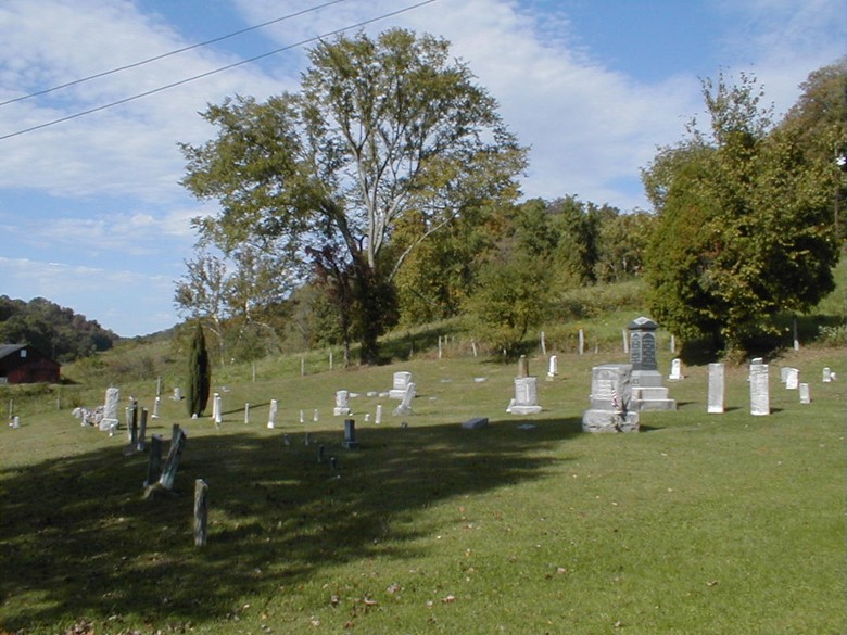
| Memorials | : | 19 |
| Location | : | Monroe County, USA |
| Coordinate | : | 39.6922900, -81.2398300 |
frequently asked questions (FAQ):
-
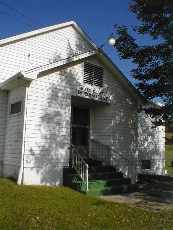
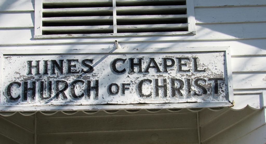
Where is Hines Chapel Church of Christ Cemetery?
Hines Chapel Church of Christ Cemetery is located at Monroe County ,Ohio ,USA.
-
Hines Chapel Church of Christ Cemetery cemetery's updated grave count on graveviews.com?
19 memorials
-
Where are the coordinates of the Hines Chapel Church of Christ Cemetery?
Latitude: 39.6922900
Longitude: -81.2398300
Nearby Cemetories:
1. Hartshorn Ridge Cemetery
Monroe County, USA
Coordinate: 39.7047950, -81.2173339
2. Hercher Cemetery
Monroe County, USA
Coordinate: 39.6702995, -81.2397003
3. Knowlton Cemetery
Monroe County, USA
Coordinate: 39.6852989, -81.2052994
4. Mount Zion Methodist Cemetery
Lewisville, Monroe County, USA
Coordinate: 39.7238390, -81.2483750
5. Stafford Cemetery
Stafford, Monroe County, USA
Coordinate: 39.7128500, -81.2723400
6. Creighton Ridge Church of Christ Cemetery
Marr, Monroe County, USA
Coordinate: 39.6629320, -81.2612340
7. Christy Cemetery
Hilltop, Monroe County, USA
Coordinate: 39.7020230, -81.1968830
8. Scott Cemetery
Monroe County, USA
Coordinate: 39.6643982, -81.2117004
9. Vance Cemetery
Harriettsville, Noble County, USA
Coordinate: 39.6855760, -81.2877440
10. Parks Cemetery
Marr, Monroe County, USA
Coordinate: 39.6611500, -81.2681900
11. Pleasant Ridge Church of Christ Cemetery
Graysville, Monroe County, USA
Coordinate: 39.6625850, -81.2076540
12. Sutherland Methodist Cemetery
Stafford, Monroe County, USA
Coordinate: 39.7281281, -81.2692804
13. McVay Cemetery
Sycamore Valley, Monroe County, USA
Coordinate: 39.6444016, -81.2427979
14. Miller Cemetery
Marr, Monroe County, USA
Coordinate: 39.6400000, -81.2272680
15. Pioneer Cemetery
Graysville, Monroe County, USA
Coordinate: 39.6672000, -81.1741000
16. Henthorn Cemetery
Monroe County, USA
Coordinate: 39.6418991, -81.1994019
17. Barber Ridge Cemetery
Wayne Township, Monroe County, USA
Coordinate: 39.7313995, -81.1819000
18. Graysville Cemetery
Graysville, Monroe County, USA
Coordinate: 39.6632996, -81.1714020
19. Conners Ridge Cemetery
Monroe County, USA
Coordinate: 39.7016983, -81.1613998
20. Road Fork Cemetery
Noble County, USA
Coordinate: 39.6683040, -81.3139180
21. Cline Family Cemetery
Monroe County, USA
Coordinate: 39.6669620, -81.1624430
22. Friendship Cemetery
Lewisville, Monroe County, USA
Coordinate: 39.7592010, -81.2221985
23. Stewart Cemetery
Noble County, USA
Coordinate: 39.6699982, -81.3244019
24. Mount Tabor Cemetery
Carlisle, Noble County, USA
Coordinate: 39.7220001, -81.3229980