
| Memorials | : | 0 |
| Location | : | Corn, Washita County, USA |
| Coordinate | : | 35.3347015, -98.7561035 |
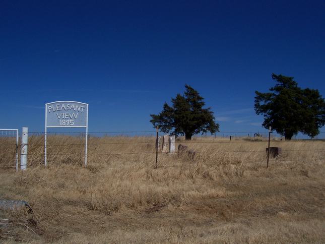
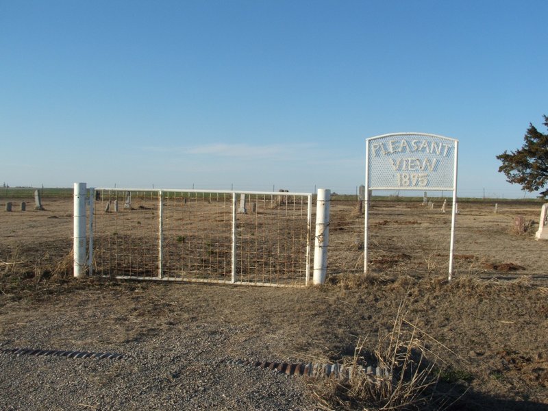
| Description | : | Located in Segar Township; Legal description: SW ¼ Section 15, Township 15 N, Range 10 W. From Corn, Ok, 3 miles south, then 1 ½ miles east. The cemetery was established on August 12, 1895, with the burial of Ottie B. Taylor, the daughter of T. E. and Florence Taylor, who died at the age of 14 months. On September 2, 1919, Wilkerson Crawford deeded farmland to Belle Abraham. The deed states that less and except 1 and 1/8 acres for the cemetery. A parcel of land, .9 acre, across the road from... Read More |
frequently asked questions (FAQ):
-
Where is Pleasant View Cemetery?
Pleasant View Cemetery is located at Corn, Washita County ,Oklahoma ,USA.
-
Pleasant View Cemetery cemetery's updated grave count on graveviews.com?
0 memorials
-
Where are the coordinates of the Pleasant View Cemetery?
Latitude: 35.3347015
Longitude: -98.7561035
Nearby Cemetories:
1. Mennonite Brethren Cemetery
Corn, Washita County, USA
Coordinate: 35.3717003, -98.7825012
2. Red Top Cemetery
Colony, Washita County, USA
Coordinate: 35.3011017, -98.7033005
3. Van Dyke Cemetery
Cowden, Washita County, USA
Coordinate: 35.2895203, -98.7114182
4. Indian Cemetery
Colony, Washita County, USA
Coordinate: 35.3450584, -98.6700134
5. Colony Indian Cemetery
Colony, Washita County, USA
Coordinate: 35.3410988, -98.6585999
6. Korn Catholic Cemetery
Corn, Washita County, USA
Coordinate: 35.4061203, -98.8010788
7. Shelley Cemetery
Corn, Washita County, USA
Coordinate: 35.3497009, -98.8703003
8. Bergthal Cemetery
Corn, Washita County, USA
Coordinate: 35.4198303, -98.8172073
9. Redbird Wolf Chief Indian Gravesite
Corn, Washita County, USA
Coordinate: 35.4052811, -98.8435669
10. Sappington Chapel Cemetery
Cowden, Washita County, USA
Coordinate: 35.2322884, -98.7229691
11. High Point Cemetery
Colony, Washita County, USA
Coordinate: 35.4207993, -98.6774979
12. Zion German Congregational Church Cemetery
Corn, Washita County, USA
Coordinate: 35.4506454, -98.7648468
13. Bethany Cemetery
Colony, Washita County, USA
Coordinate: 35.4425011, -98.6755981
14. Cloud Chief Cemetery
Cloud Chief, Washita County, USA
Coordinate: 35.2397003, -98.8606033
15. Poage Cemetery
Caddo County, USA
Coordinate: 35.3717003, -98.6061020
16. Missouri Cemetery
Colony, Washita County, USA
Coordinate: 35.4641991, -98.7285995
17. Sichar Cemetery
Cordell, Washita County, USA
Coordinate: 35.3191986, -98.9233017
18. Herold Mennonite Church Cemetery
Bessie, Washita County, USA
Coordinate: 35.3596497, -98.9226608
19. Bethel Krimmer Mennonite Cemetery
Weatherford, Custer County, USA
Coordinate: 35.4782982, -98.7546997
20. Brethren Cemetery
Cordell, Washita County, USA
Coordinate: 35.2551994, -98.9063034
21. Bible Mennonite Brethren Cemetery
Bessie, Washita County, USA
Coordinate: 35.3624496, -98.9346313
22. Plainview Cemetery
Colony, Washita County, USA
Coordinate: 35.4568939, -98.6394577
23. Caddo Mennonite Brethren Cemetery
Eakly, Caddo County, USA
Coordinate: 35.3481410, -98.5626410
24. Frazier Family Cemetery
Cloud Chief, Washita County, USA
Coordinate: 35.1893806, -98.8406448