
| Memorials | : | 0 |
| Location | : | Abbeville County, USA |
| Coordinate | : | 34.0882100, -82.3312400 |
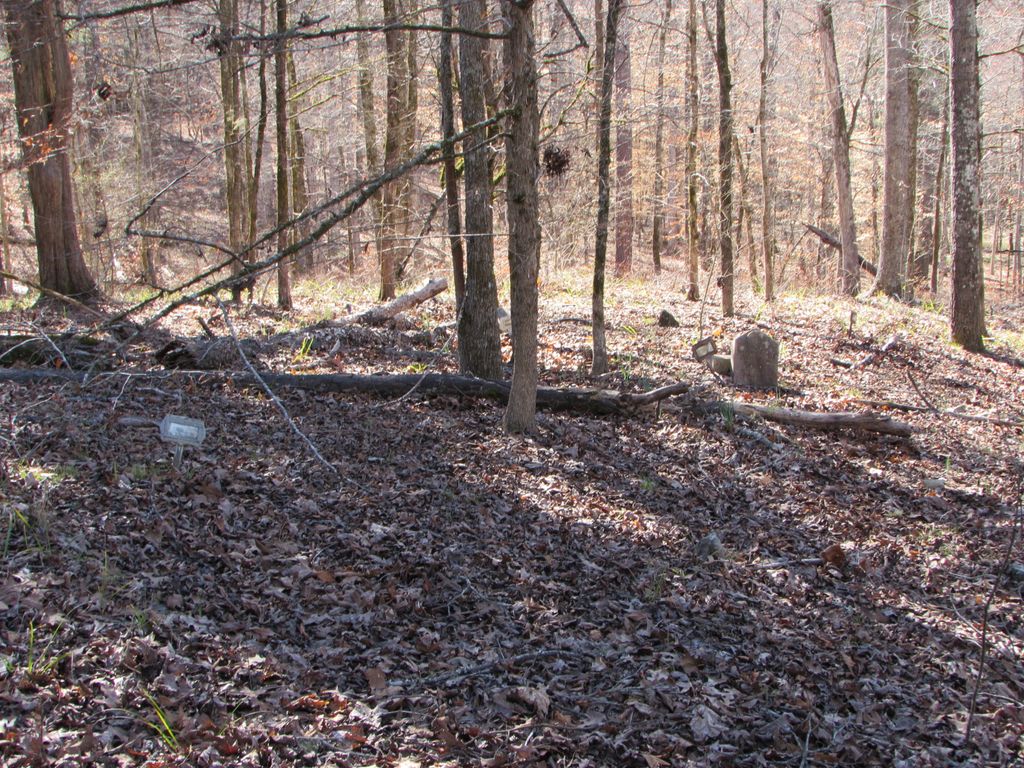
| Description | : | Cemetery associated with Poplar Grove Baptist Church (Poplar Grove Chapel). Contains at least eleven graves. Most are marked by fieldstones or metal funeral home markers. There are two formal marble markers. Church was African American. In 1927 A. L. Gilliam deeded the tract to the Trustees of Poplar Grove Baptist Church. Trustees were Mose Covington, Lizzie Covington, Abraham Dutch, and Frances Dutch. The church was sometimes used as a school,, but was torn down in the 1950s. In 1974, the sole surviving trustee, Frances Dutch sold the tract to the US Forest Service. North of USFS Road 518, Candy Branch Road,... Read More |
frequently asked questions (FAQ):
-
Where is Poplar Grove Baptist Church Cemetery?
Poplar Grove Baptist Church Cemetery is located at Abbeville County ,South Carolina ,USA.
-
Poplar Grove Baptist Church Cemetery cemetery's updated grave count on graveviews.com?
0 memorials
-
Where are the coordinates of the Poplar Grove Baptist Church Cemetery?
Latitude: 34.0882100
Longitude: -82.3312400

Nearby Cemetories:
1. Cedar Springs A.R.P. Church Cemetery
Greenwood County, USA
Coordinate: 34.0792400, -82.3025300
2. Lower Long Cane Cemetery
Abbeville, Abbeville County, USA
Coordinate: 34.1225000, -82.3207700
3. Little Mountain African Methodist Episcopal Church
Abbeville, Abbeville County, USA
Coordinate: 34.0842820, -82.3758020
4. Bethia Cemetery
Clatworthy Crossroads, Abbeville County, USA
Coordinate: 34.0617810, -82.3759150
5. Lyon-Lipford Cemetery
Bradley, Greenwood County, USA
Coordinate: 34.0889550, -82.2760960
6. Rock Buffalo Baptist Church Cemetery
Abbeville, Abbeville County, USA
Coordinate: 34.1223770, -82.3793010
7. Chapel Cemetery
McCormick County, USA
Coordinate: 34.0388985, -82.3569031
8. Creswell Family Cemetery
Greenwood County, USA
Coordinate: 34.0484220, -82.2869750
9. Tittle Cemetery
Bradley Corner, McCormick County, USA
Coordinate: 34.0325400, -82.3258800
10. Campbell Cemetery
Troy, Greenwood County, USA
Coordinate: 34.0388720, -82.2995700
11. Glover Chapel Baptist Church Cemetery
McCormick County, USA
Coordinate: 34.0356080, -82.3615130
12. Saint Goodwill Baptist Church Cemetery
McCormick County, USA
Coordinate: 34.0419720, -82.3831670
13. Adams-Vann Family Cemetery
Abbeville, Abbeville County, USA
Coordinate: 34.1445140, -82.3683540
14. Millway Baptist Church Cemetery
Troy, Greenwood County, USA
Coordinate: 34.0310160, -82.2943070
15. Saint Mary A. M. E. Cemetery
Mount Carmel, McCormick County, USA
Coordinate: 34.0229400, -82.3424970
16. Chisholm Cemetery
McCormick County, USA
Coordinate: 34.0283012, -82.3688965
17. William Vickery Family
McCormick County, USA
Coordinate: 34.0282220, -82.3693130
18. McCord Family Cemetery
Abbeville, Abbeville County, USA
Coordinate: 34.1593330, -82.3181670
19. Lower Long Cane Cemetery
McCormick County, USA
Coordinate: 34.0158005, -82.3491974
20. Lites Family Cemetery
Abbeville, Abbeville County, USA
Coordinate: 34.1446991, -82.2724991
21. Lebanon Presbyterian Church Cemetery
Abbeville County, USA
Coordinate: 34.1149930, -82.4181590
22. Glasgow Family Cemetery
McCormick County, USA
Coordinate: 34.0307500, -82.3938333
23. Lebanon Church Enslaved Persons Burial Site
Abbeville County, USA
Coordinate: 34.1151470, -82.4192810
24. Cedar Grove Cemetery
Greenwood County, USA
Coordinate: 34.0555992, -82.2450027