
| Memorials | : | 49 |
| Location | : | Forest City, Rutherford County, USA |
| Coordinate | : | 35.2633018, -81.8305969 |
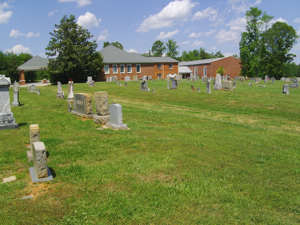
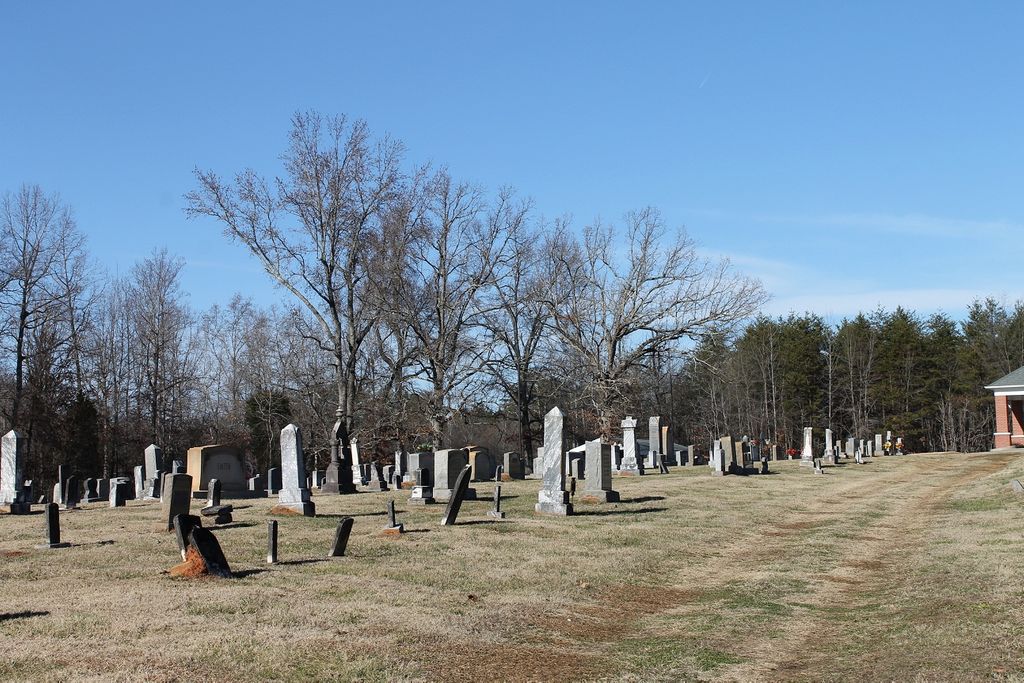
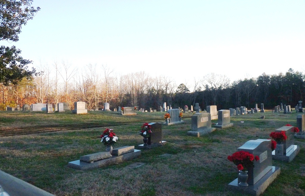
| Description | : | The Providence United Methodist Church cemetery is located about 1 mile off of the Chase High Road in Forest City, North Carolina in the southern end of Rutherford County. When traveling south on US 221A Hwy turn right onto the Chase High Road (2210) at the Key Largo Store in Sandy Mush, then turn left just past the stop light at the Chase Middle School onto the Providence Road (2146). The church and cemetery are off the road and on the right on the Providence Church Road (2217). Use the Google Map below to find its exact location. Many... Read More |
frequently asked questions (FAQ):
-
Where is Providence United Methodist Church Cemetery?
Providence United Methodist Church Cemetery is located at 161 Providence Rd Forest City, Rutherford County ,North Carolina , 28043USA.
-
Providence United Methodist Church Cemetery cemetery's updated grave count on graveviews.com?
46 memorials
-
Where are the coordinates of the Providence United Methodist Church Cemetery?
Latitude: 35.2633018
Longitude: -81.8305969
Nearby Cemetories:
1. Trout Family Cemetery
Sandy Mush, Rutherford County, USA
Coordinate: 35.2762150, -81.8428660
2. Rutherford County Memorial Cemetery
Forest City, Rutherford County, USA
Coordinate: 35.2463989, -81.8443985
3. New Zion Baptist Cemetery
Rutherford County, USA
Coordinate: 35.2595770, -81.8014850
4. Floyd's Creek Baptist Church Cemetery
Forest City, Rutherford County, USA
Coordinate: 35.2386017, -81.8491974
5. Jerusalem Baptist Church Cemetery
Forest City, Rutherford County, USA
Coordinate: 35.2417000, -81.8553200
6. Calvary Baptist Cemetery
Cliffside, Rutherford County, USA
Coordinate: 35.2383995, -81.8110657
7. Caroleen Avondale Henrietta Cemetery
Avondale, Rutherford County, USA
Coordinate: 35.2753940, -81.7925690
8. New Bethel Independent Church Cemetery
Forest City, Rutherford County, USA
Coordinate: 35.2802970, -81.8657590
9. Goodes Creek Baptist Cemetery
Cliffside, Rutherford County, USA
Coordinate: 35.2307710, -81.8152780
10. Doggett Grove AME Zion Cemetery
Forest City, Rutherford County, USA
Coordinate: 35.2808050, -81.8686810
11. New Bethel AME Zion Cemetery
Forest City, Rutherford County, USA
Coordinate: 35.2816470, -81.8682090
12. Hopewell AME Zion Church Cemetery
Harris, Rutherford County, USA
Coordinate: 35.2426750, -81.8690230
13. Mount Pleasant Baptist Cemetery
Sandy Mush, Rutherford County, USA
Coordinate: 35.3026220, -81.8395470
14. New Bethel Baptist Cemetery
Forest City, Rutherford County, USA
Coordinate: 35.2505264, -81.8770294
15. Morrow Curve Cemetery
Alexander Mills, Rutherford County, USA
Coordinate: 35.3007300, -81.8490800
16. Harris First Baptist Cemetery
Harris, Rutherford County, USA
Coordinate: 35.2428850, -81.8752240
17. High Shoal Baptist Cemetery
Henrietta, Rutherford County, USA
Coordinate: 35.2659800, -81.7777450
18. Baxter Family Cemetery
Caroleen, Rutherford County, USA
Coordinate: 35.3028590, -81.8087310
19. Wesley Chapel Memorial Cemetery
Harris, Rutherford County, USA
Coordinate: 35.2369960, -81.8734430
20. Alexander Mills Cemetery
Alexander Mills, Rutherford County, USA
Coordinate: 35.3059100, -81.8566200
21. Doggett Cemetery
Forest City, Rutherford County, USA
Coordinate: 35.2932710, -81.8780670
22. Haynes Grove Cemetery
Cliffside, Rutherford County, USA
Coordinate: 35.2471930, -81.7735250
23. Sulphur Springs Baptist Cemetery
Harris, Rutherford County, USA
Coordinate: 35.2646130, -81.8917710
24. Scruggs Cemetery
Rutherford County, USA
Coordinate: 35.2325800, -81.7814220