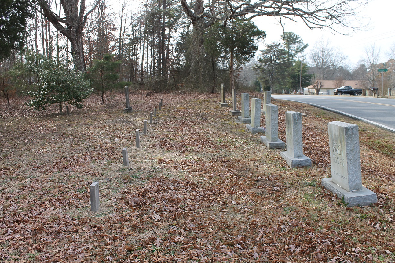
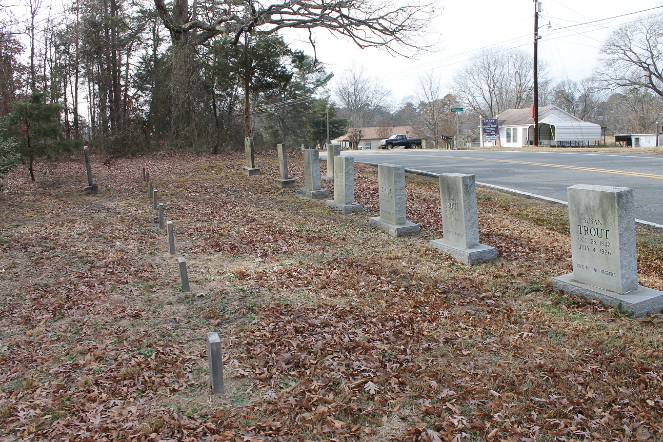
| Memorials | : | 10 |
| Location | : | Sandy Mush, Rutherford County, USA |
| Coordinate | : | 35.2762150, -81.8428660 |
| Description | : | Located about one mile south of Sandy Mush, Rutherford, NC on the east side of SR 2210 (Chase High Road), about ½ mile south of the intersection with junction with SR 2129 (Old Henrietta Road). The cemetery is badly overgrown but the stones are generally very readable. This cemetery was recorded by Jim and Lynda Womack 19 Mar 1995. Cemetery clearly shows as the "Trout Cemetery" on the USGS topographical quad for the area. |
frequently asked questions (FAQ):
-
Where is Trout Family Cemetery?
Trout Family Cemetery is located at Sandy Mush, Rutherford County ,North Carolina ,USA.
-
Trout Family Cemetery cemetery's updated grave count on graveviews.com?
0 memorials
-
Where are the coordinates of the Trout Family Cemetery?
Latitude: 35.2762150
Longitude: -81.8428660
Nearby Cemetories:
1. Providence United Methodist Church Cemetery
Forest City, Rutherford County, USA
Coordinate: 35.2633018, -81.8305969
2. New Bethel Independent Church Cemetery
Forest City, Rutherford County, USA
Coordinate: 35.2802970, -81.8657590
3. New Bethel AME Zion Cemetery
Forest City, Rutherford County, USA
Coordinate: 35.2816470, -81.8682090
4. Doggett Grove AME Zion Cemetery
Forest City, Rutherford County, USA
Coordinate: 35.2808050, -81.8686810
5. Morrow Curve Cemetery
Alexander Mills, Rutherford County, USA
Coordinate: 35.3007300, -81.8490800
6. Mount Pleasant Baptist Cemetery
Sandy Mush, Rutherford County, USA
Coordinate: 35.3026220, -81.8395470
7. Rutherford County Memorial Cemetery
Forest City, Rutherford County, USA
Coordinate: 35.2463989, -81.8443985
8. Alexander Mills Cemetery
Alexander Mills, Rutherford County, USA
Coordinate: 35.3059100, -81.8566200
9. Doggett Cemetery
Forest City, Rutherford County, USA
Coordinate: 35.2932710, -81.8780670
10. Jerusalem Baptist Church Cemetery
Forest City, Rutherford County, USA
Coordinate: 35.2417000, -81.8553200
11. New Zion Baptist Cemetery
Rutherford County, USA
Coordinate: 35.2595770, -81.8014850
12. New Bethel Baptist Cemetery
Forest City, Rutherford County, USA
Coordinate: 35.2505264, -81.8770294
13. Floyd's Creek Baptist Church Cemetery
Forest City, Rutherford County, USA
Coordinate: 35.2386017, -81.8491974
14. Baxter Family Cemetery
Caroleen, Rutherford County, USA
Coordinate: 35.3028590, -81.8087310
15. Hopewell AME Zion Church Cemetery
Harris, Rutherford County, USA
Coordinate: 35.2426750, -81.8690230
16. Caroleen Avondale Henrietta Cemetery
Avondale, Rutherford County, USA
Coordinate: 35.2753940, -81.7925690
17. Sulphur Springs Baptist Cemetery
Harris, Rutherford County, USA
Coordinate: 35.2646130, -81.8917710
18. Harris First Baptist Cemetery
Harris, Rutherford County, USA
Coordinate: 35.2428850, -81.8752240
19. Morning Star Baptist Cemetery
Forest City, Rutherford County, USA
Coordinate: 35.2851830, -81.8952620
20. Morrow Cemetery
Forest City, Rutherford County, USA
Coordinate: 35.3216800, -81.8361000
21. Calvary Baptist Cemetery
Cliffside, Rutherford County, USA
Coordinate: 35.2383995, -81.8110657
22. Wesley Chapel Memorial Cemetery
Harris, Rutherford County, USA
Coordinate: 35.2369960, -81.8734430
23. Sulphur Springs Holiness Cemetery
Danieltown, Rutherford County, USA
Coordinate: 35.2844250, -81.9004050
24. McDonald Family Cemetery
Forest City, Rutherford County, USA
Coordinate: 35.3075850, -81.8876240


