
| Memorials | : | 0 |
| Location | : | Half Moon Bay, San Mateo County, USA |
| Coordinate | : | 37.4038860, -122.4150020 |
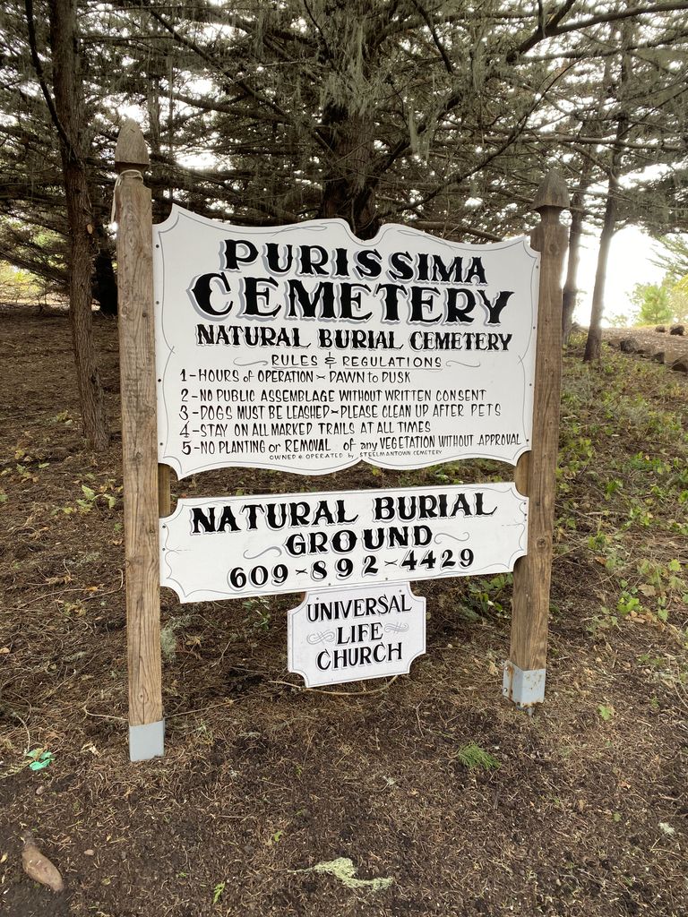
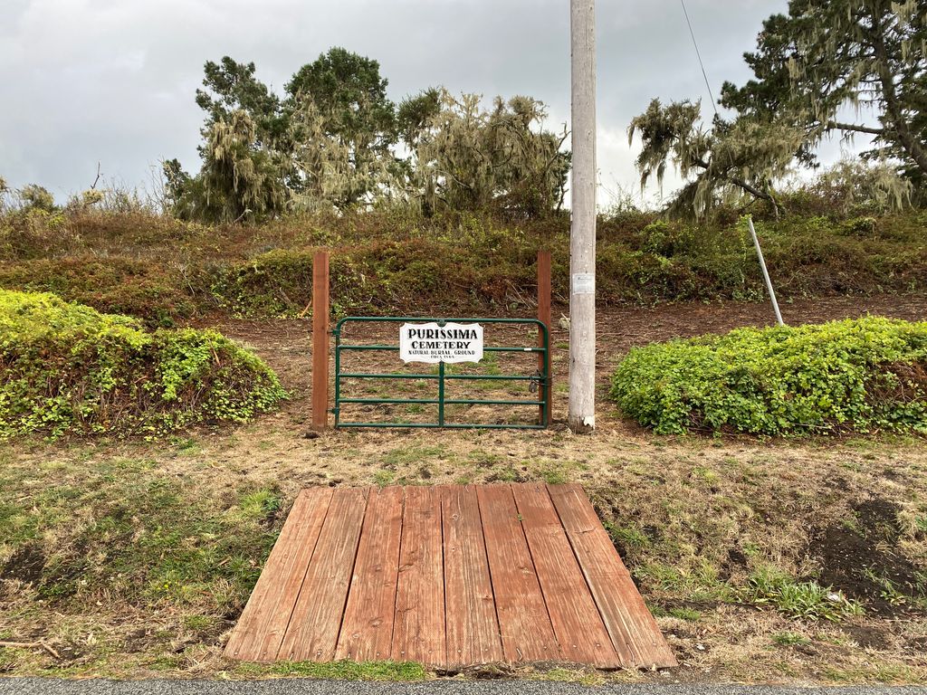
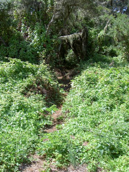
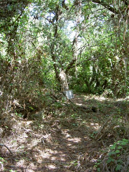
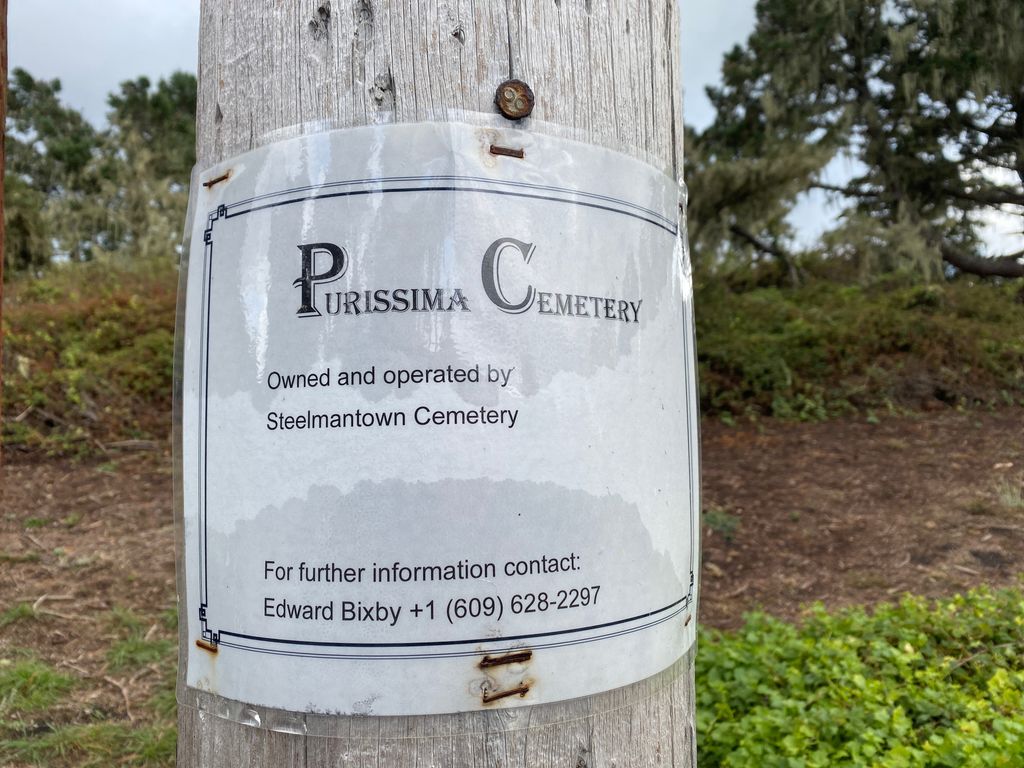
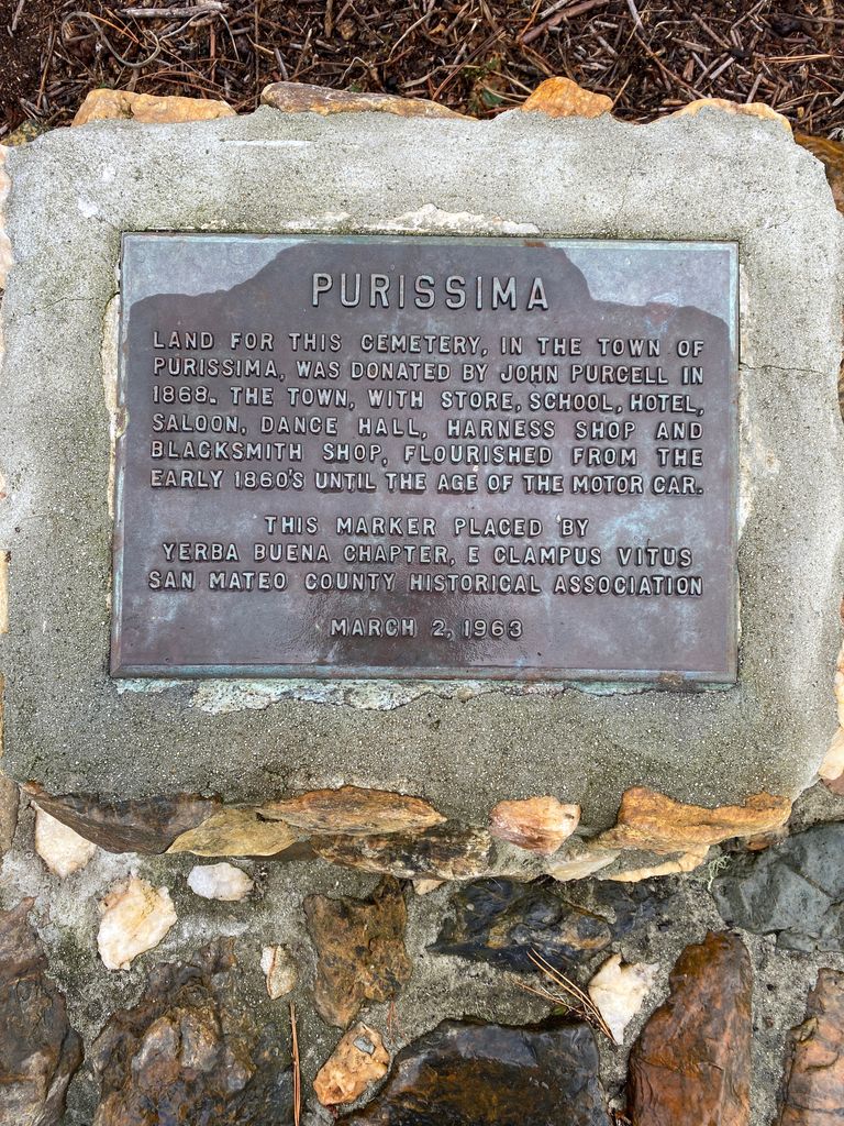
| Description | : | Located just east of Hwy. 1, 4 mi. south of Half Moon Bay. The town of Purissima existed just south of Spanishtown (now Half Moon Bay) in the 1800s. It was once thought that Purissima would become the most important town on the San Mateo County coast. But after the town lost several of it's patriarchs, it just could not compete comercially with Spanishtown which was in an easier to reach location. By 1930, Purissima was all but abandoned. In 1868, John Purcell had deeded the town this cemetery with it's lovely ocean view. The abandoned cemetery and the... Read More |
frequently asked questions (FAQ):
-
Where is Purissima Cemetery?
Purissima Cemetery is located at Verde Road Half Moon Bay, San Mateo County ,California ,USA.
-
Purissima Cemetery cemetery's updated grave count on graveviews.com?
0 memorials
-
Where are the coordinates of the Purissima Cemetery?
Latitude: 37.4038860
Longitude: -122.4150020
Nearby Cemetories:
1. Our Lady of the Pillar Cemetery
Half Moon Bay, San Mateo County, USA
Coordinate: 37.4611610, -122.4263460
2. Pilarcitos Cemetery
Half Moon Bay, San Mateo County, USA
Coordinate: 37.4682140, -122.4292450
3. Independent Order of Odd Fellows Cemetery
Half Moon Bay, San Mateo County, USA
Coordinate: 37.4688510, -122.4274620
4. Gan Hazikaron Cemetery
San Mateo, San Mateo County, USA
Coordinate: 37.4960740, -122.3683830
5. Skylawn Memorial Park
San Mateo, San Mateo County, USA
Coordinate: 37.4967120, -122.3697780
6. Bourn Family Cemetery
Woodside, San Mateo County, USA
Coordinate: 37.4676100, -122.3124400
7. Mathias Alfred Parkhurst Burial Site
Woodside, San Mateo County, USA
Coordinate: 37.4306710, -122.2770660
8. Harrington Cemetery
Belmont, San Mateo County, USA
Coordinate: 37.5032997, -122.3238983
9. Gorilla Foundation Sanctuary
Woodside, San Mateo County, USA
Coordinate: 37.3750160, -122.2604360
10. San Mateo County Poor Farm Cemetery
San Mateo, San Mateo County, USA
Coordinate: 37.5153430, -122.3350060
11. Saint Anthony Cemetery
Pescadero, San Mateo County, USA
Coordinate: 37.2583420, -122.3834410
12. Mount Hope Cemetery
Pescadero, San Mateo County, USA
Coordinate: 37.2578900, -122.3833600
13. Christ Episcopal Church Churchyard Columbarium
Portola Valley, San Mateo County, USA
Coordinate: 37.3821670, -122.2304160
14. Episcopal Church of Transfiguration Memorial Garde
San Mateo, San Mateo County, USA
Coordinate: 37.5273480, -122.3058880
15. Dennis Martin Cemetery
San Mateo County, USA
Coordinate: 37.4203440, -122.2181370
16. Saint John's Cemetery
San Mateo, San Mateo County, USA
Coordinate: 37.5483017, -122.3358002
17. Saint Peters Episcopal Church Columbarium
Redwood City, San Mateo County, USA
Coordinate: 37.4855750, -122.2389540
18. Hal Stein Burial Site
Loma Mar, San Mateo County, USA
Coordinate: 37.2756330, -122.2837150
19. Saint Bedes Episcopal Church Cemetery
Menlo Park, San Mateo County, USA
Coordinate: 37.4218750, -122.2075210
20. Union Cemetery
Redwood City, San Mateo County, USA
Coordinate: 37.4732700, -122.2231360
21. Holy Cross Catholic Cemetery
Menlo Park, San Mateo County, USA
Coordinate: 37.4350420, -122.1978540
22. Oakwood Community Cemetery
Atherton, San Mateo County, USA
Coordinate: 37.4503120, -122.1956310
23. First Presbyterian Church Prayer Garden
Burlingame, San Mateo County, USA
Coordinate: 37.5857740, -122.3704280
24. Corpus Christi Monastery
Menlo Park, San Mateo County, USA
Coordinate: 37.4589200, -122.1801900