| Memorials | : | 365 |
| Location | : | Pescadero, San Mateo County, USA |
| Coordinate | : | 37.2578900, -122.3833600 |
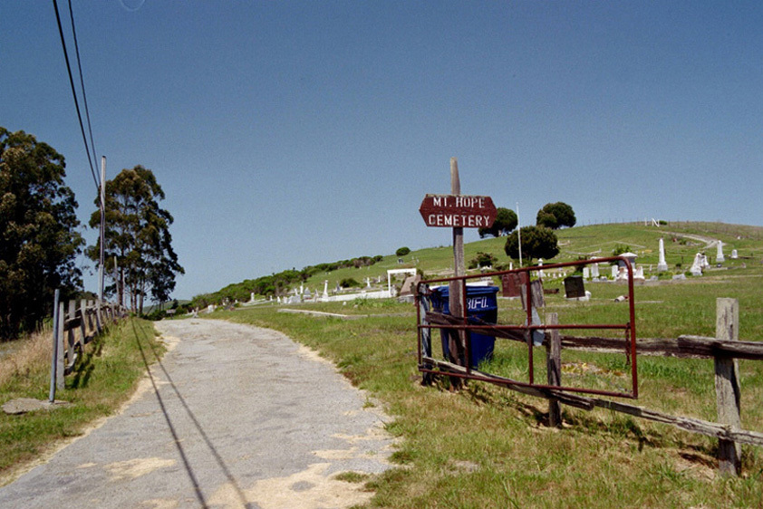
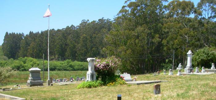
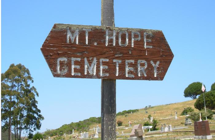
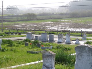
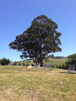
| Description | : | Just 3.5 miles south of San Gregorio is Pescadero. From Highway 1 turn east on Pescadero Creek Road, drive two miles and then left at the stop sign into Stage Road. If you have driven down Stage Road from San Gregorio, you will arrive at the northern end of the town. This is a back road. When you pass the horse paddocks you know you have nearly arrived in Pescadero. Look out for the cemetery just before you hit town. The cemetery is on a hill. This is not one of your manicured, well-maintained cemeteries but one that is... Read More |
frequently asked questions (FAQ):
-
Where is Mount Hope Cemetery?
Mount Hope Cemetery is located at Stage Road Pescadero, San Mateo County ,California ,USA.
-
Mount Hope Cemetery cemetery's updated grave count on graveviews.com?
24 memorials
-
Where are the coordinates of the Mount Hope Cemetery?
Latitude: 37.2578900
Longitude: -122.3833600
Nearby Cemetories:
1. Saint Anthony Cemetery
Pescadero, San Mateo County, USA
Coordinate: 37.2583420, -122.3834410
2. Hal Stein Burial Site
Loma Mar, San Mateo County, USA
Coordinate: 37.2756330, -122.2837150
3. Cascade Ranch Cemetery
San Mateo County, USA
Coordinate: 37.1394340, -122.3142410
4. Purissima Cemetery
Half Moon Bay, San Mateo County, USA
Coordinate: 37.4038860, -122.4150020
5. Gorilla Foundation Sanctuary
Woodside, San Mateo County, USA
Coordinate: 37.3750160, -122.2604360
6. Christ Episcopal Church Churchyard Columbarium
Portola Valley, San Mateo County, USA
Coordinate: 37.3821670, -122.2304160
7. Grateful Mountain Cemetery
Santa Cruz, Santa Cruz County, USA
Coordinate: 37.0965160, -122.2682150
8. Mathias Alfred Parkhurst Burial Site
Woodside, San Mateo County, USA
Coordinate: 37.4306710, -122.2770660
9. Our Lady of the Pillar Cemetery
Half Moon Bay, San Mateo County, USA
Coordinate: 37.4611610, -122.4263460
10. Dennis Martin Cemetery
San Mateo County, USA
Coordinate: 37.4203440, -122.2181370
11. Pilarcitos Cemetery
Half Moon Bay, San Mateo County, USA
Coordinate: 37.4682140, -122.4292450
12. Independent Order of Odd Fellows Cemetery
Half Moon Bay, San Mateo County, USA
Coordinate: 37.4688510, -122.4274620
13. Saint Bedes Episcopal Church Cemetery
Menlo Park, San Mateo County, USA
Coordinate: 37.4218750, -122.2075210
14. Bourn Family Cemetery
Woodside, San Mateo County, USA
Coordinate: 37.4676100, -122.3124400
15. Holy Cross Catholic Cemetery
Menlo Park, San Mateo County, USA
Coordinate: 37.4350420, -122.1978540
16. Gan Hazikaron Cemetery
San Mateo, San Mateo County, USA
Coordinate: 37.4960740, -122.3683830
17. Skylawn Memorial Park
San Mateo, San Mateo County, USA
Coordinate: 37.4967120, -122.3697780
18. Oakwood Community Cemetery
Atherton, San Mateo County, USA
Coordinate: 37.4503120, -122.1956310
19. Boulder Creek IOOF Cemetery
Boulder Creek, Santa Cruz County, USA
Coordinate: 37.1216927, -122.1264038
20. Christ Episcopal Church Columbarium
Los Altos, Santa Clara County, USA
Coordinate: 37.3642210, -122.1044590
21. Stanford Family Mausoleum
Palo Alto, Santa Clara County, USA
Coordinate: 37.4364929, -122.1698990
22. Alta Mesa Memorial Park
Palo Alto, Santa Clara County, USA
Coordinate: 37.3990200, -122.1288300
23. Harrington Cemetery
Belmont, San Mateo County, USA
Coordinate: 37.5032997, -122.3238983
24. Union Cemetery
Redwood City, San Mateo County, USA
Coordinate: 37.4732700, -122.2231360

