
| Memorials | : | 0 |
| Location | : | Halesowen, Metropolitan Borough of Dudley, England |
| Phone | : | 0121 303 7043 |
| Coordinate | : | 52.4631800, -2.0202190 |
frequently asked questions (FAQ):
-
Where is Quinton Cemetery?
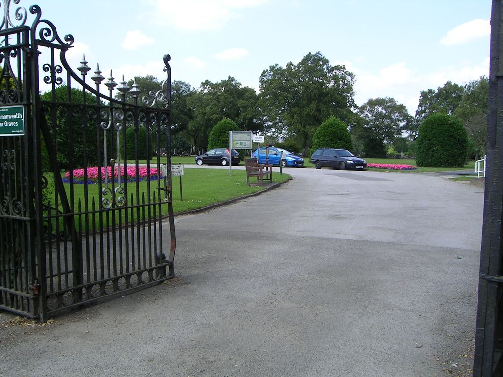
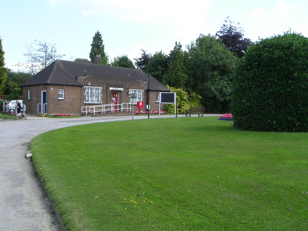
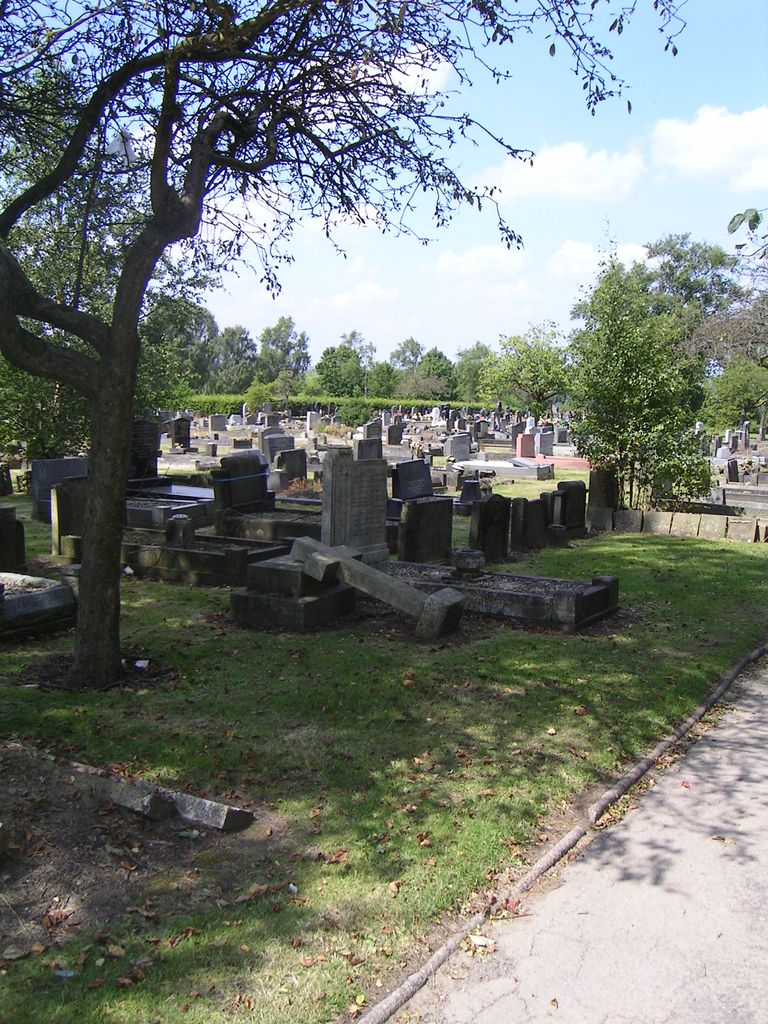
Quinton Cemetery is located at Halesowen Road Halesowen, Metropolitan Borough of Dudley ,West Midlands , B62 9AFEngland.
-
Quinton Cemetery cemetery's updated grave count on graveviews.com?
0 memorials
-
Where are the coordinates of the Quinton Cemetery?
Latitude: 52.4631800
Longitude: -2.0202190
Nearby Cemetories:
1. Christ Churchyard
Quinton, Metropolitan Borough of Birmingham, England
Coordinate: 52.4619800, -2.0095500
2. St. Paul's Churchyard
Halesowen, Metropolitan Borough of Dudley, England
Coordinate: 52.4738474, -2.0360769
3. Beeches Road Baptist Chapel
Rowley Regis, Metropolitan Borough of Sandwell, England
Coordinate: 52.4733300, -2.0451000
4. Halesowen Abbey
Hales, Shropshire Unitary Authority, England
Coordinate: 52.4460000, -2.0350000
5. Halesowen Cemetery
Halesowen, Metropolitan Borough of Dudley, England
Coordinate: 52.4500800, -2.0535400
6. Rowley Regis Cemetery
Rowley Regis, Metropolitan Borough of Sandwell, England
Coordinate: 52.4800670, -2.0546830
7. Rowley Regis Crematorium
Rowley Regis, Metropolitan Borough of Sandwell, England
Coordinate: 52.4801170, -2.0565480
8. Thimblemill Cemetery
Smethwick, Metropolitan Borough of Sandwell, England
Coordinate: 52.4826200, -1.9826400
9. Smethwick Cemetery
Smethwick, Metropolitan Borough of Sandwell, England
Coordinate: 52.4868370, -1.9753820
10. St Luke's Churchyard
Cradley Heath, Metropolitan Borough of Dudley, England
Coordinate: 52.4733130, -2.0788730
11. Smethwick Old Churchyard
Smethwick, Metropolitan Borough of Sandwell, England
Coordinate: 52.4869000, -1.9724600
12. St. Peter's Churchyard
Harborne, Metropolitan Borough of Birmingham, England
Coordinate: 52.4533600, -1.9589050
13. Oldbury Cemetery
Smethwick, Metropolitan Borough of Sandwell, England
Coordinate: 52.4992710, -1.9932620
14. St. Mary's Churchyard
Harborne, Metropolitan Borough of Birmingham, England
Coordinate: 52.4566000, -1.9540700
15. St. Peter's Churchyard
Cradley, Metropolitan Borough of Dudley, England
Coordinate: 52.4644514, -2.0877236
16. St. John's Church Dudley Wood
Cradley Heath, Metropolitan Borough of Dudley, England
Coordinate: 52.4745685, -2.0865011
17. St Leonard Churchyard
Frankley, Bromsgrove District, England
Coordinate: 52.4216690, -2.0029960
18. Cradley Park Lane Unitarian Chapel
Cradley, Metropolitan Borough of Dudley, England
Coordinate: 52.4635800, -2.0971880
19. Lodge Hill Cemetery and Crematorium
Birmingham, Metropolitan Borough of Birmingham, England
Coordinate: 52.4384670, -1.9537400
20. St Andrews Churchyard
Netherton, Metropolitan Borough of Dudley, England
Coordinate: 52.4904500, -2.0913400
21. Saint Marys Church
Selly Oak, Metropolitan Borough of Birmingham, England
Coordinate: 52.4380500, -1.9457100
22. St. Andrew's Churchyard
Netherton, Metropolitan Borough of Dudley, England
Coordinate: 52.4907600, -2.0924390
23. Christ Church Churchyard
Quarry Bank, Metropolitan Borough of Dudley, England
Coordinate: 52.4724270, -2.1056680
24. Friends Meeting House Burial Ground
Bournville, Metropolitan Borough of Birmingham, England
Coordinate: 52.4363270, -1.9424810