
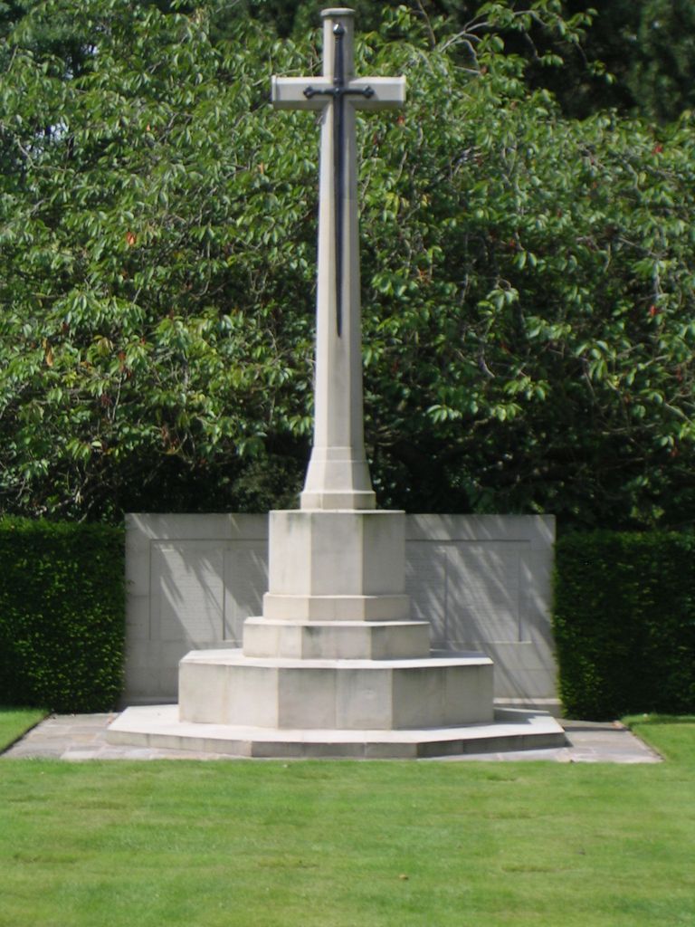
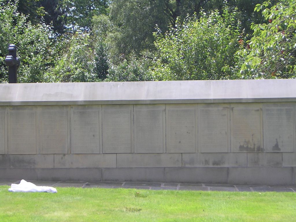
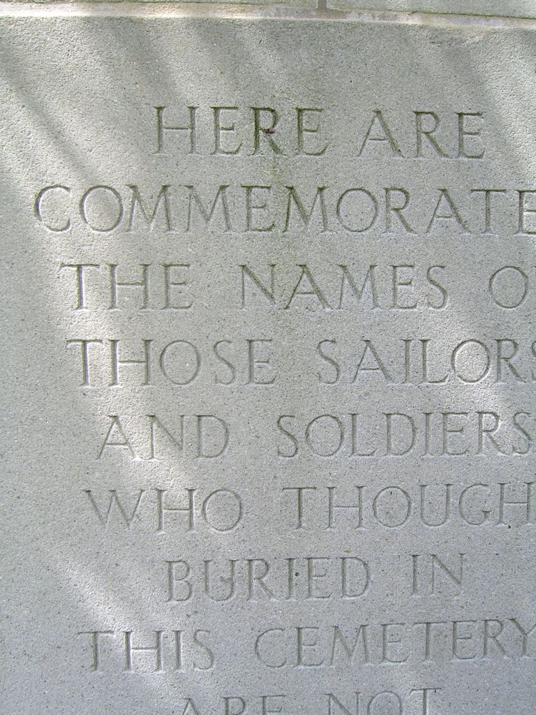
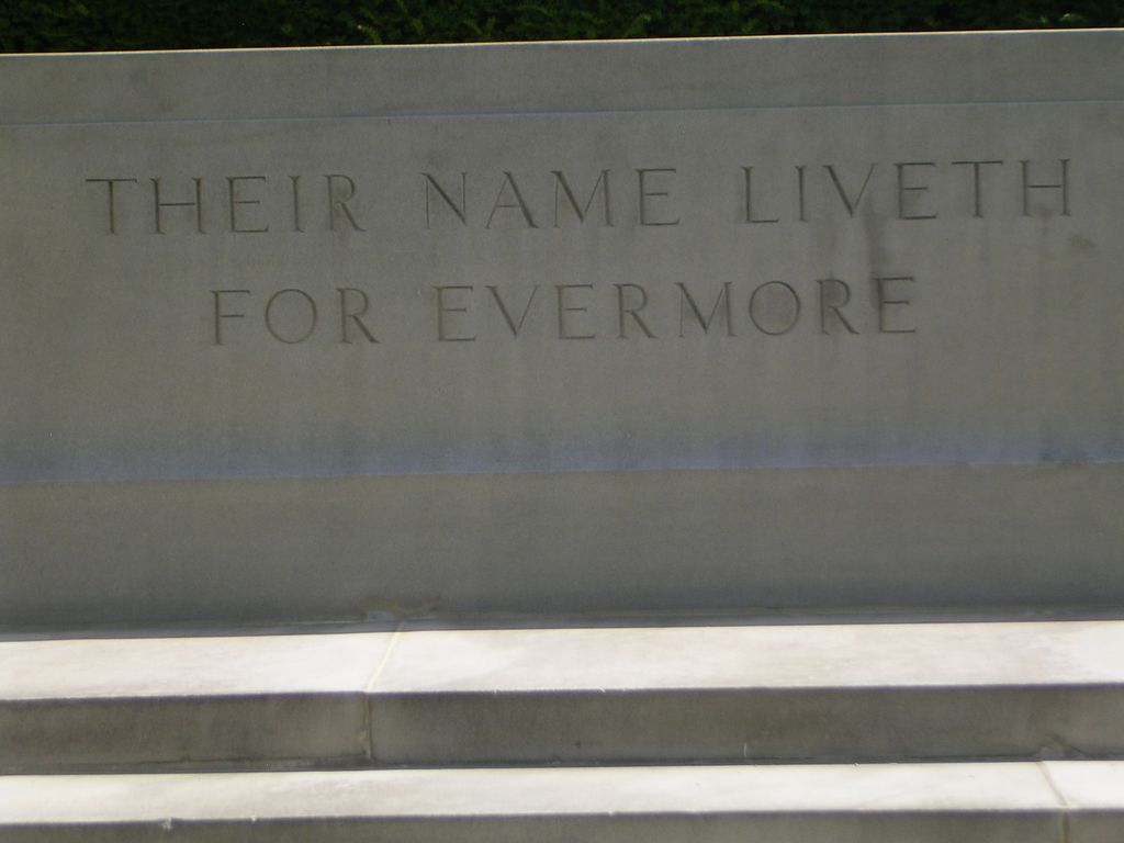
| Memorials | : | 2 |
| Location | : | Birmingham, Metropolitan Borough of Birmingham, England |
| Coordinate | : | 52.4384670, -1.9537400 |
frequently asked questions (FAQ):
-
Where is Lodge Hill Cemetery and Crematorium?
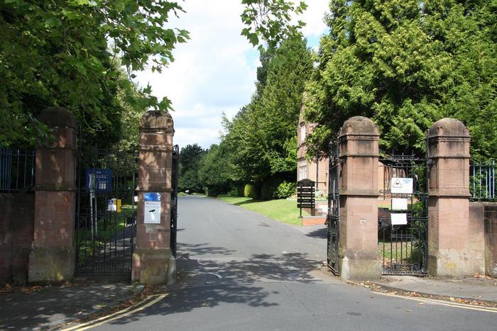
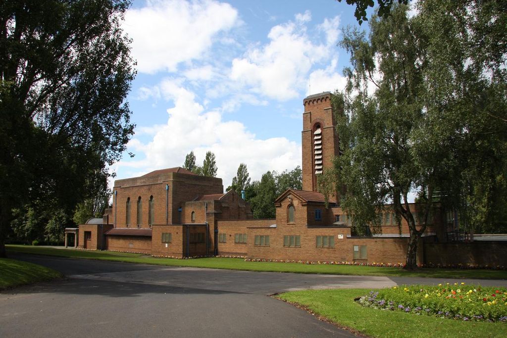
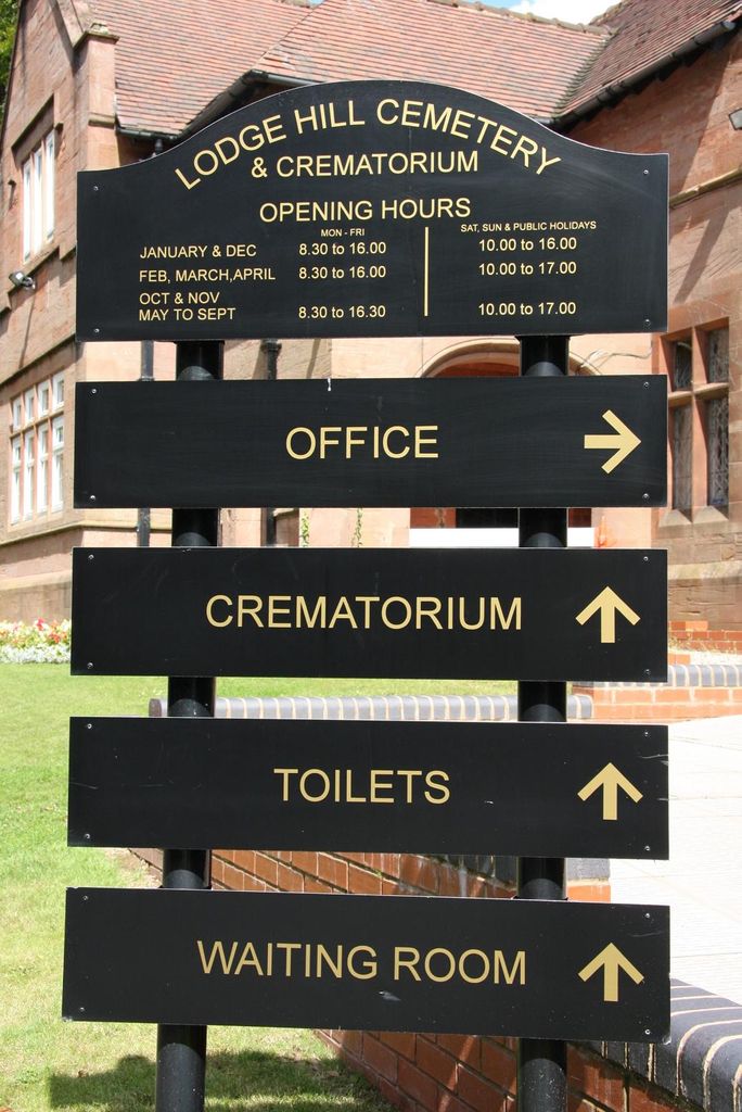
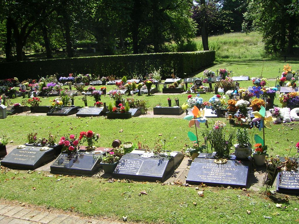
Lodge Hill Cemetery and Crematorium is located at Weoley Park Road Birmingham, Metropolitan Borough of Birmingham ,West Midlands , B29 5AAEngland.
-
Lodge Hill Cemetery and Crematorium cemetery's updated grave count on graveviews.com?
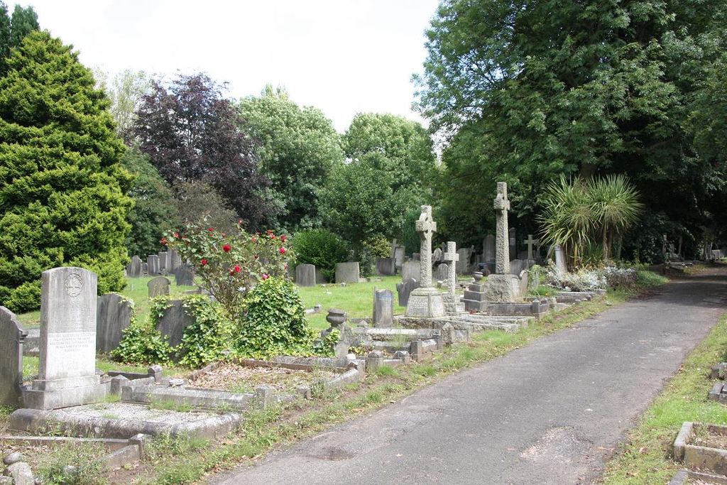
2 memorials
-
Where are the coordinates of the Lodge Hill Cemetery and Crematorium?
Latitude: 52.4384670
Longitude: -1.9537400
Nearby Cemetories:
1. Saint Marys Church
Selly Oak, Metropolitan Borough of Birmingham, England
Coordinate: 52.4380500, -1.9457100
2. Friends Meeting House Burial Ground
Bournville, Metropolitan Borough of Birmingham, England
Coordinate: 52.4363270, -1.9424810
3. St. Peter's Churchyard
Harborne, Metropolitan Borough of Birmingham, England
Coordinate: 52.4533600, -1.9589050
4. St. Mary's Churchyard
Harborne, Metropolitan Borough of Birmingham, England
Coordinate: 52.4566000, -1.9540700
5. St. Paul's Convent Cemetery
Birmingham, Metropolitan Borough of Birmingham, England
Coordinate: 52.4401580, -1.9217800
6. Sisters of Charity of St Paul the Apostle Convent
Birmingham, Metropolitan Borough of Birmingham, England
Coordinate: 52.4393400, -1.9205200
7. St Laurence Churchyard Extension
Northfield, Metropolitan Borough of Birmingham, England
Coordinate: 52.4121060, -1.9641390
8. St Bartholomew Churchyard
Edgbaston, Metropolitan Borough of Birmingham, England
Coordinate: 52.4606870, -1.9170890
9. Saint Nicolas Churchyard
Kings Norton, Metropolitan Borough of Birmingham, England
Coordinate: 52.4086480, -1.9289630
10. St Leonard Churchyard
Frankley, Bromsgrove District, England
Coordinate: 52.4216690, -2.0029960
11. All Saints Churchyard
Kings Heath, Metropolitan Borough of Birmingham, England
Coordinate: 52.4330710, -1.8937240
12. Brandwood End Cemetery
Birmingham, Metropolitan Borough of Birmingham, England
Coordinate: 52.4181900, -1.8991100
13. Christ Churchyard
Quinton, Metropolitan Borough of Birmingham, England
Coordinate: 52.4619800, -2.0095500
14. St. Mary's Churchyard
Moseley, Metropolitan Borough of Birmingham, England
Coordinate: 52.4462000, -1.8866900
15. Kings Norton Cemetery
Kings Norton, Metropolitan Borough of Birmingham, England
Coordinate: 52.3984090, -1.9220470
16. St Thomas Bath Row
Birmingham, Metropolitan Borough of Birmingham, England
Coordinate: 52.4731740, -1.9062371
17. Quinton Cemetery
Halesowen, Metropolitan Borough of Dudley, England
Coordinate: 52.4631800, -2.0202190
18. Thimblemill Cemetery
Smethwick, Metropolitan Borough of Sandwell, England
Coordinate: 52.4826200, -1.9826400
19. Smethwick Old Churchyard
Smethwick, Metropolitan Borough of Sandwell, England
Coordinate: 52.4869000, -1.9724600
20. Halesowen Abbey
Hales, Shropshire Unitary Authority, England
Coordinate: 52.4460000, -2.0350000
21. Smethwick Cemetery
Smethwick, Metropolitan Borough of Sandwell, England
Coordinate: 52.4868370, -1.9753820
22. Christ Church Churchyard
Birmingham, Metropolitan Borough of Birmingham, England
Coordinate: 52.4798000, -1.9020000
23. St Martin in the Bull Ring
Birmingham, Metropolitan Borough of Birmingham, England
Coordinate: 52.4770050, -1.8932950
24. Birmingham Cathedral
Birmingham, Metropolitan Borough of Birmingham, England
Coordinate: 52.4812000, -1.8989060