
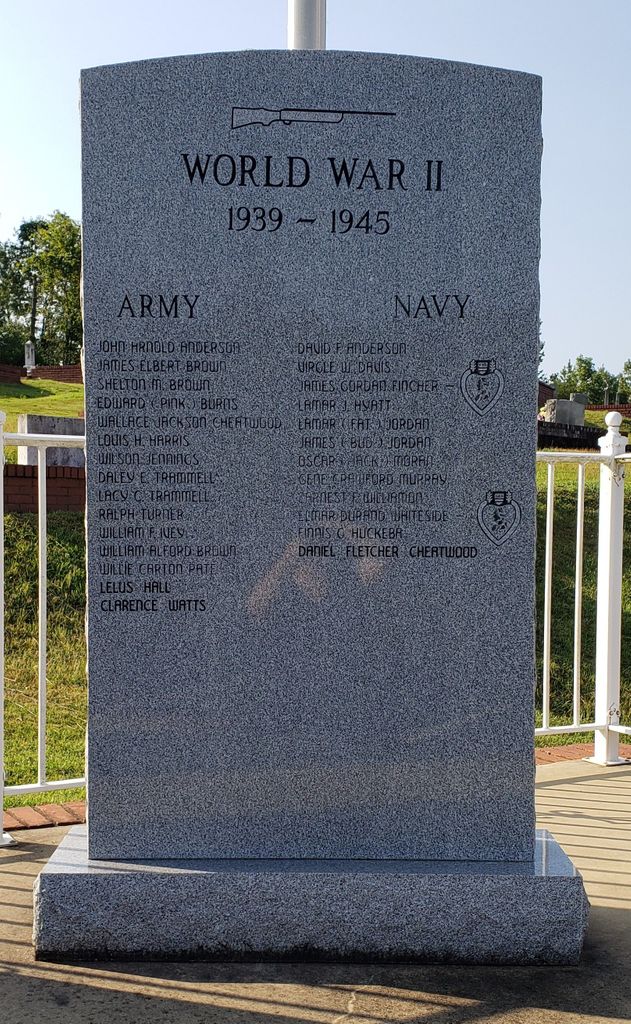
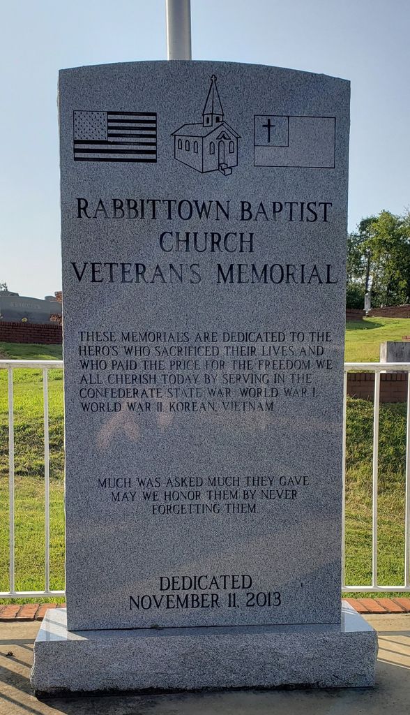
| Memorials | : | 1 |
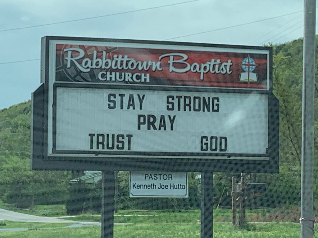
| Location | : | Rabbittown, Calhoun County, USA |
| Coordinate | : | 33.8143692, -85.6483917 |
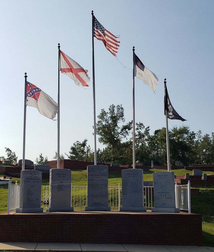
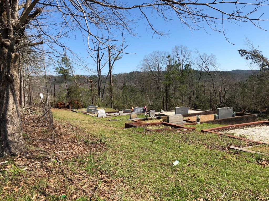
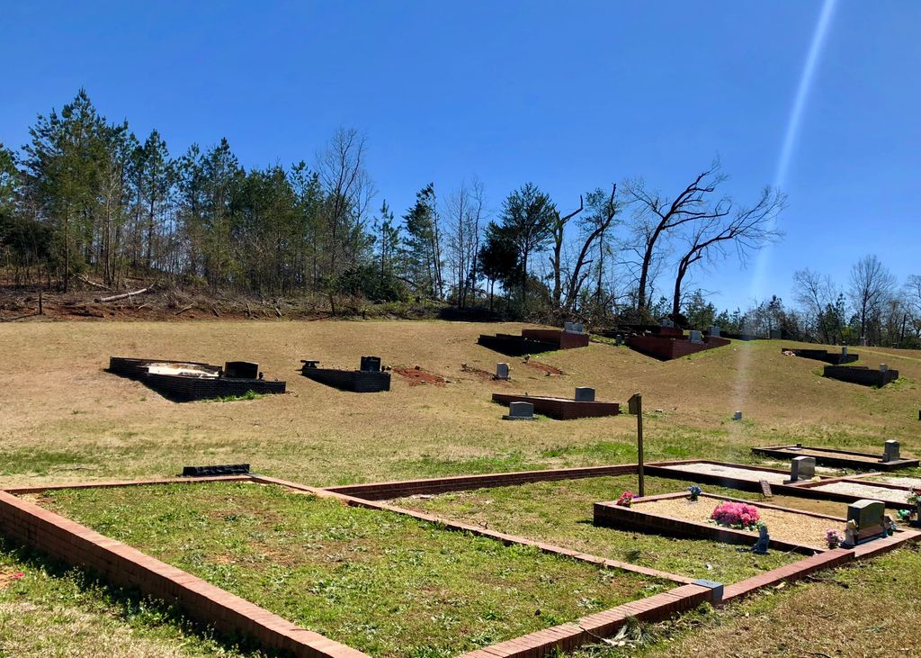
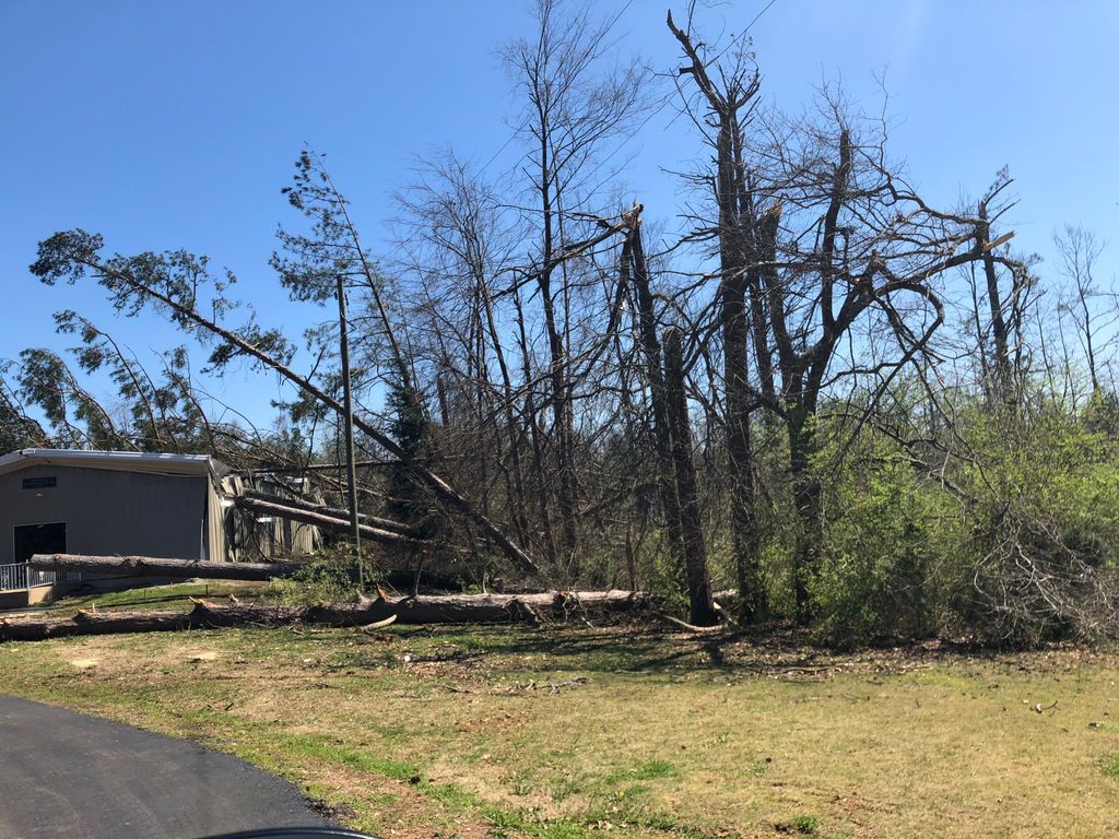
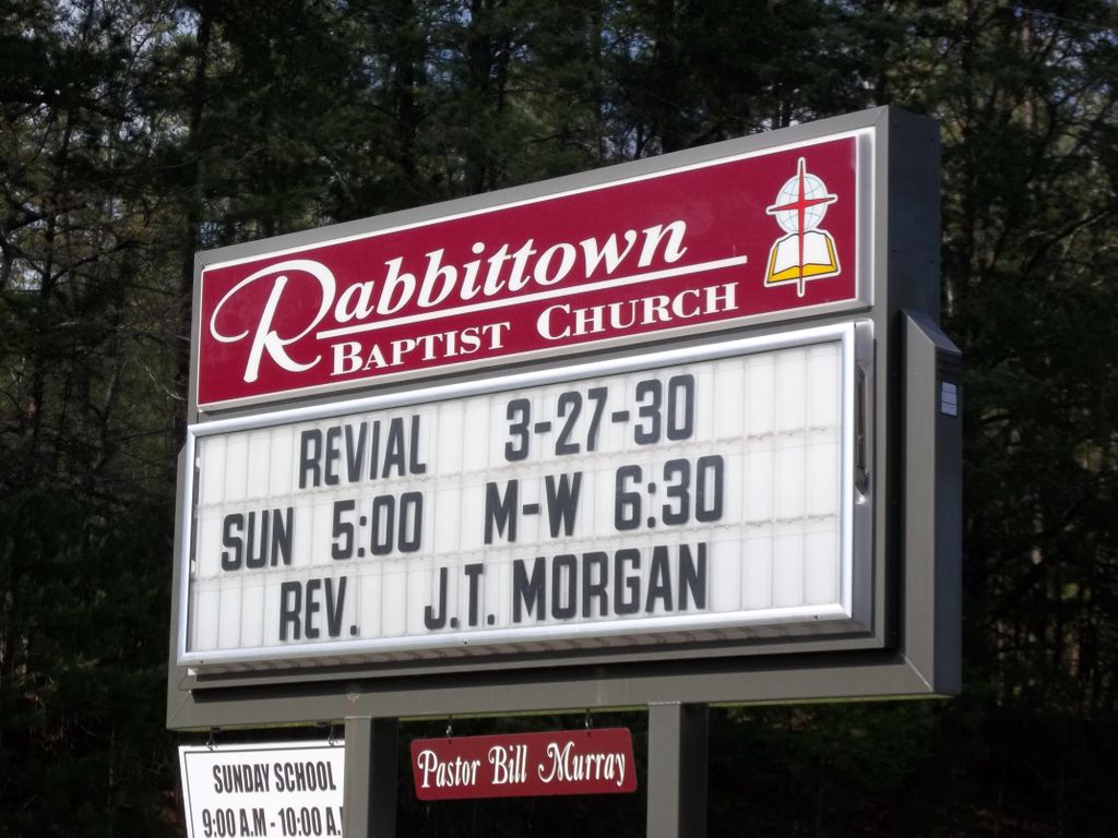
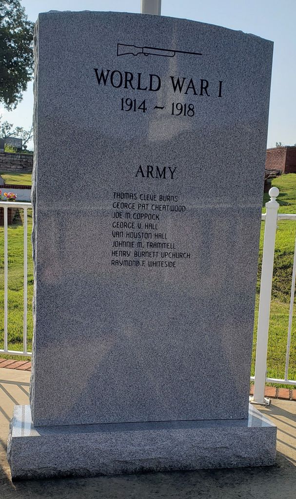
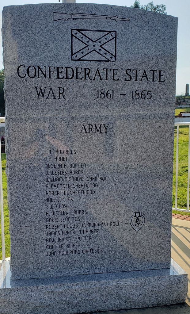
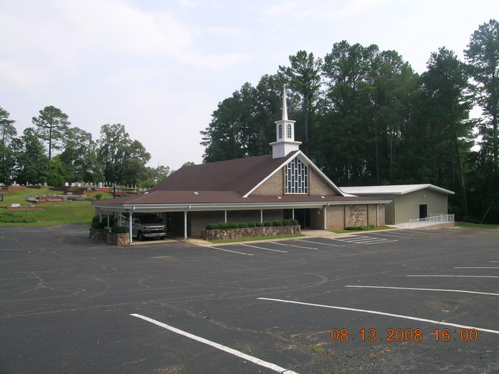
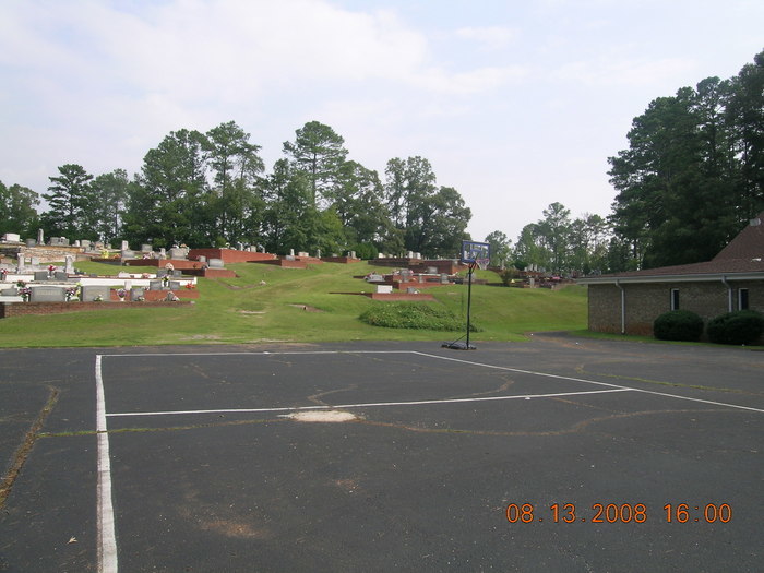
| Description | : | Rabbittown Missionary Baptist Church Cemetery is located 2.5 miles from the junction of Alabama HWY 9 and Calhoun County Road 55. The Cemetery traces its antecedents back to the 1840's. It is found at T14S R9E Sec13. |
frequently asked questions (FAQ):
-
Where is Rabbittown Baptist Church Cemetery?
Rabbittown Baptist Church Cemetery is located at 2450 Rabbittown Road Rabbittown, Calhoun County ,Alabama , 36272-7857USA.
-
Rabbittown Baptist Church Cemetery cemetery's updated grave count on graveviews.com?
1 memorials
-
Where are the coordinates of the Rabbittown Baptist Church Cemetery?
Latitude: 33.8143692
Longitude: -85.6483917
Nearby Cemetories:
1. Faith Tabernacle Baptist Church Cemetery
Rabbittown, Calhoun County, USA
Coordinate: 33.7905700, -85.6508800
2. New Oak Grove Cemetery
Piedmont, Calhoun County, USA
Coordinate: 33.7851982, -85.6522980
3. Nances Creek United Methodist Church Cemetery
Jacksonville, Calhoun County, USA
Coordinate: 33.8506012, -85.6731033
4. Watson-Cobb Family Cemetery
White Plains, Calhoun County, USA
Coordinate: 33.7831500, -85.6899400
5. Dunn Cemetery
Cleburne County, USA
Coordinate: 33.8464012, -85.5958023
6. Newton Cemetery
Holley Crossroads, Calhoun County, USA
Coordinate: 33.8096733, -85.7193604
7. Williamson-Little Cemetery
White Plains, Calhoun County, USA
Coordinate: 33.7518997, -85.6883011
8. Harper Family Cemetery
White Plains, Calhoun County, USA
Coordinate: 33.7450600, -85.6858800
9. White Plains Community Cemetery
White Plains, Calhoun County, USA
Coordinate: 33.7443810, -85.6845932
10. Shoal Creek Cemetery
Cleburne County, USA
Coordinate: 33.7756004, -85.5642014
11. Whites Gap Cemetery
Whites Gap, Calhoun County, USA
Coordinate: 33.7792015, -85.7388992
12. Wellborn Cemetery
Maxwellborn, Calhoun County, USA
Coordinate: 33.8820305, -85.7111664
13. Community Congregational Holiness Church Cemetery
Merrellton, Calhoun County, USA
Coordinate: 33.8685989, -85.7319031
14. County Farm Cemetery
Jacksonville, Calhoun County, USA
Coordinate: 33.7787433, -85.7472271
15. McCain Cemetery
Jacksonville, Calhoun County, USA
Coordinate: 33.8546982, -85.7455978
16. Green Family Cemetery
Maxwellborn, Calhoun County, USA
Coordinate: 33.8806000, -85.7229996
17. Jacksonville City Cemetery
Jacksonville, Calhoun County, USA
Coordinate: 33.8071900, -85.7578800
18. Wellborn Cemetery
Wellborn, Calhoun County, USA
Coordinate: 33.8694000, -85.7388992
19. Hudson Cemetery
White Plains, Calhoun County, USA
Coordinate: 33.7216988, -85.6603012
20. Cole Cemetery
Cleburne County, USA
Coordinate: 33.7299995, -85.5980988
21. Merrellton Union Baptist Cemetery
Merrellton, Calhoun County, USA
Coordinate: 33.8688011, -85.7413025
22. Grimes Cemetery
Cleburne County, USA
Coordinate: 33.8572006, -85.5457993
23. Bain Cemetery
White Plains, Calhoun County, USA
Coordinate: 33.7250160, -85.6972130
24. Green Cemetery
Merrellton, Calhoun County, USA
Coordinate: 33.8706551, -85.7455215