
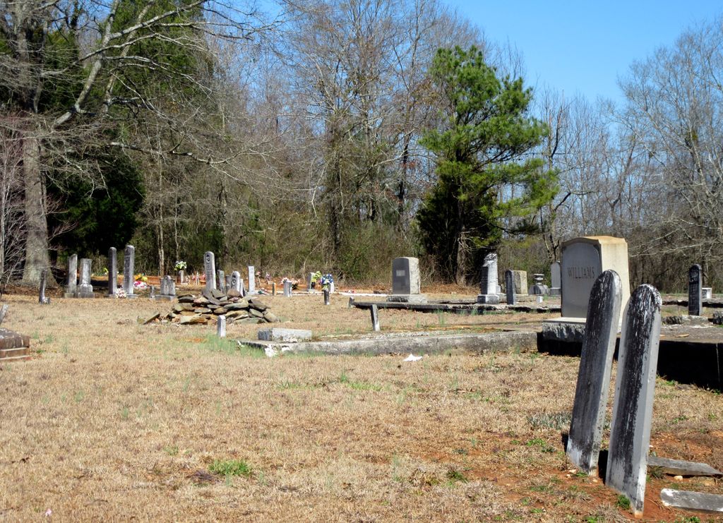
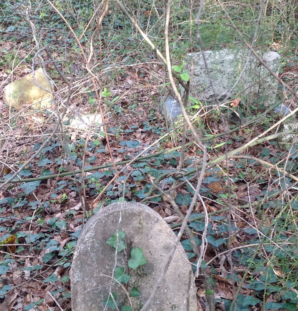
| Memorials | : | 2 |
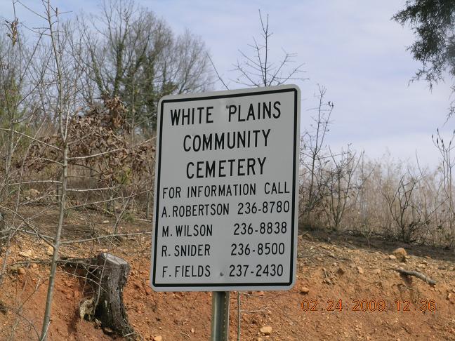
| Location | : | White Plains, Calhoun County, USA |
| Coordinate | : | 33.7443810, -85.6845932 |
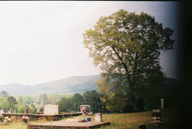
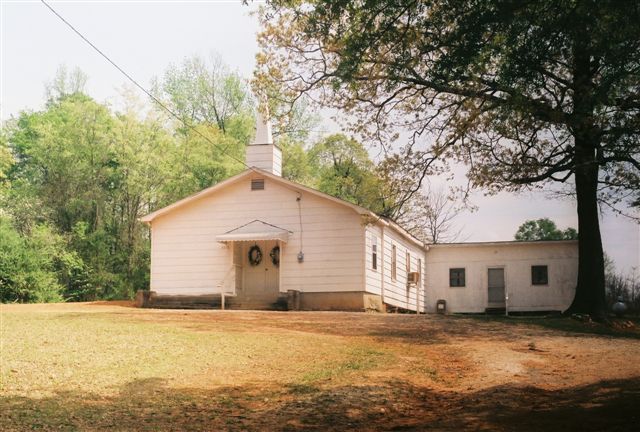
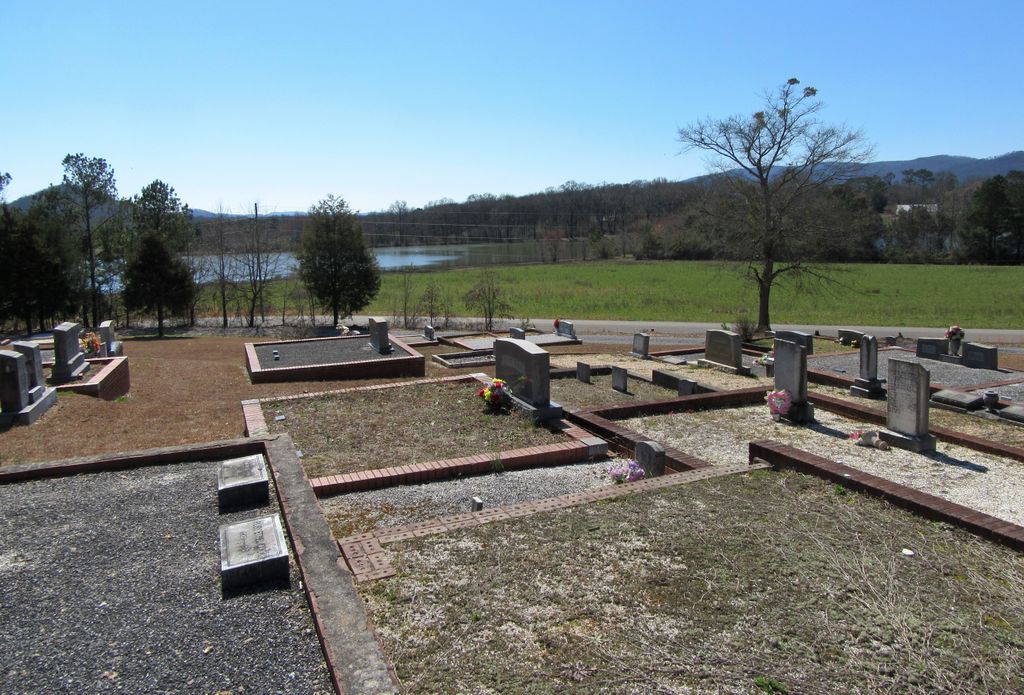
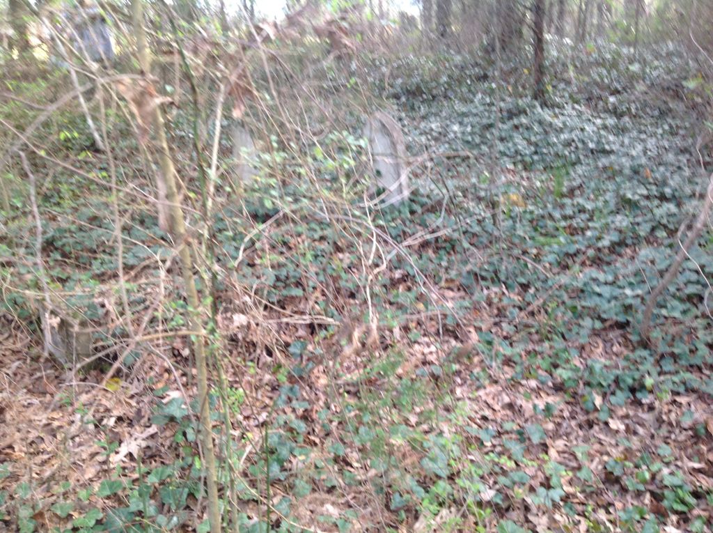
| Description | : | This cemetery is located off Highway 9, south of the White Plains High School. There are more than 80 unmarked graves in this cemetery. |
frequently asked questions (FAQ):
-
Where is White Plains Community Cemetery?
White Plains Community Cemetery is located at 3542 Rainbow Drive White Plains, Calhoun County ,Alabama , 36207USA.
-
White Plains Community Cemetery cemetery's updated grave count on graveviews.com?
2 memorials
-
Where are the coordinates of the White Plains Community Cemetery?
Latitude: 33.7443810
Longitude: -85.6845932

Nearby Cemetories:
1. Harper Family Cemetery
White Plains, Calhoun County, USA
Coordinate: 33.7450600, -85.6858800
2. Williamson-Little Cemetery
White Plains, Calhoun County, USA
Coordinate: 33.7518997, -85.6883011
3. Bain Cemetery
White Plains, Calhoun County, USA
Coordinate: 33.7250160, -85.6972130
4. Woodrow W. Smith Gravesite
Pleasant Ridge, Calhoun County, USA
Coordinate: 33.7173996, -85.6998978
5. Bains Gap Road
White Plains, Calhoun County, USA
Coordinate: 33.7173090, -85.6999890
6. Hudson Cemetery
White Plains, Calhoun County, USA
Coordinate: 33.7216988, -85.6603012
7. Pleasant Ridge Cemetery
White Plains, Calhoun County, USA
Coordinate: 33.7119789, -85.6992035
8. Watson-Cobb Family Cemetery
White Plains, Calhoun County, USA
Coordinate: 33.7831500, -85.6899400
9. Chosea Springs Baptist Church Cemetery
Chosea Springs, Calhoun County, USA
Coordinate: 33.7016080, -85.6719980
10. New Oak Grove Cemetery
Piedmont, Calhoun County, USA
Coordinate: 33.7851982, -85.6522980
11. Chosea Springs Community Cemetery
Chosea Springs, Calhoun County, USA
Coordinate: 33.6939000, -85.6689000
12. Faith Tabernacle Baptist Church Cemetery
Rabbittown, Calhoun County, USA
Coordinate: 33.7905700, -85.6508800
13. Whites Gap Cemetery
Whites Gap, Calhoun County, USA
Coordinate: 33.7792015, -85.7388992
14. County Farm Cemetery
Jacksonville, Calhoun County, USA
Coordinate: 33.7787433, -85.7472271
15. Newton Cemetery
Holley Crossroads, Calhoun County, USA
Coordinate: 33.8096733, -85.7193604
16. Cole Cemetery
Cleburne County, USA
Coordinate: 33.7299995, -85.5980988
17. Iron City Cemetery
Iron City, Calhoun County, USA
Coordinate: 33.6713982, -85.6669006
18. Rabbittown Baptist Church Cemetery
Rabbittown, Calhoun County, USA
Coordinate: 33.8143692, -85.6483917
19. Four Mile Cemetery
Four Mile, Calhoun County, USA
Coordinate: 33.7597008, -85.7746964
20. Bethany Baptist Cemetery
Iron City, Calhoun County, USA
Coordinate: 33.6674995, -85.6611023
21. New Hope Cemetery
Anniston, Calhoun County, USA
Coordinate: 33.7305700, -85.7807800
22. Fort McClellan Military Cemetery
Anniston, Calhoun County, USA
Coordinate: 33.7300987, -85.7823029
23. Antioch Cemetery
Anniston, Calhoun County, USA
Coordinate: 33.7122700, -85.7786300
24. Jacksonville City Cemetery
Jacksonville, Calhoun County, USA
Coordinate: 33.8071900, -85.7578800