
| Memorials | : | 0 |
| Location | : | White Plains, Calhoun County, USA |
| Coordinate | : | 33.7450600, -85.6858800 |
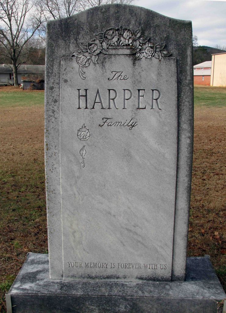
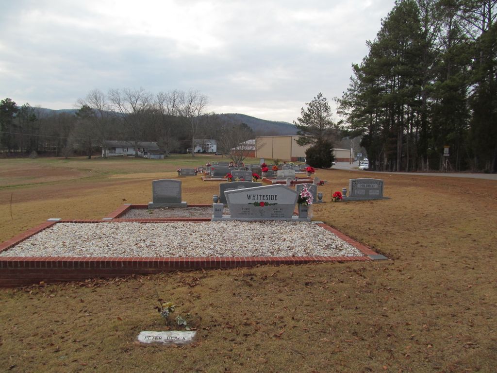
| Description | : | This small cemetery is well maintained and near the White Plains High School. Many people think this cemetery is part of the White Plains Community cemetery which is across the street behind the Zion Hill Baptist Church, but it is privately owned. It is closed to new burials except for those families that still have space in their plots. No new plot assignments/rights are being allowed. The earliest marked burial is from 1953. |
frequently asked questions (FAQ):
-
Where is Harper Family Cemetery?
Harper Family Cemetery is located at White Plains, Calhoun County ,Alabama ,USA.
-
Harper Family Cemetery cemetery's updated grave count on graveviews.com?
0 memorials
-
Where are the coordinates of the Harper Family Cemetery?
Latitude: 33.7450600
Longitude: -85.6858800

Nearby Cemetories:
1. White Plains Community Cemetery
White Plains, Calhoun County, USA
Coordinate: 33.7443810, -85.6845932
2. Williamson-Little Cemetery
White Plains, Calhoun County, USA
Coordinate: 33.7518997, -85.6883011
3. Bain Cemetery
White Plains, Calhoun County, USA
Coordinate: 33.7250160, -85.6972130
4. Woodrow W. Smith Gravesite
Pleasant Ridge, Calhoun County, USA
Coordinate: 33.7173996, -85.6998978
5. Bains Gap Road
White Plains, Calhoun County, USA
Coordinate: 33.7173090, -85.6999890
6. Hudson Cemetery
White Plains, Calhoun County, USA
Coordinate: 33.7216988, -85.6603012
7. Pleasant Ridge Cemetery
White Plains, Calhoun County, USA
Coordinate: 33.7119789, -85.6992035
8. Watson-Cobb Family Cemetery
White Plains, Calhoun County, USA
Coordinate: 33.7831500, -85.6899400
9. Chosea Springs Baptist Church Cemetery
Chosea Springs, Calhoun County, USA
Coordinate: 33.7016080, -85.6719980
10. New Oak Grove Cemetery
Piedmont, Calhoun County, USA
Coordinate: 33.7851982, -85.6522980
11. Chosea Springs Community Cemetery
Chosea Springs, Calhoun County, USA
Coordinate: 33.6939000, -85.6689000
12. Faith Tabernacle Baptist Church Cemetery
Rabbittown, Calhoun County, USA
Coordinate: 33.7905700, -85.6508800
13. Whites Gap Cemetery
Whites Gap, Calhoun County, USA
Coordinate: 33.7792015, -85.7388992
14. County Farm Cemetery
Jacksonville, Calhoun County, USA
Coordinate: 33.7787433, -85.7472271
15. Newton Cemetery
Holley Crossroads, Calhoun County, USA
Coordinate: 33.8096733, -85.7193604
16. Cole Cemetery
Cleburne County, USA
Coordinate: 33.7299995, -85.5980988
17. Four Mile Cemetery
Four Mile, Calhoun County, USA
Coordinate: 33.7597008, -85.7746964
18. Iron City Cemetery
Iron City, Calhoun County, USA
Coordinate: 33.6713982, -85.6669006
19. Rabbittown Baptist Church Cemetery
Rabbittown, Calhoun County, USA
Coordinate: 33.8143692, -85.6483917
20. New Hope Cemetery
Anniston, Calhoun County, USA
Coordinate: 33.7305700, -85.7807800
21. Bethany Baptist Cemetery
Iron City, Calhoun County, USA
Coordinate: 33.6674995, -85.6611023
22. Fort McClellan Military Cemetery
Anniston, Calhoun County, USA
Coordinate: 33.7300987, -85.7823029
23. Antioch Cemetery
Anniston, Calhoun County, USA
Coordinate: 33.7122700, -85.7786300
24. Jacksonville City Cemetery
Jacksonville, Calhoun County, USA
Coordinate: 33.8071900, -85.7578800