
| Memorials | : | 0 |
| Location | : | Raywick, Marion County, USA |
| Coordinate | : | 37.5608230, -85.4421490 |
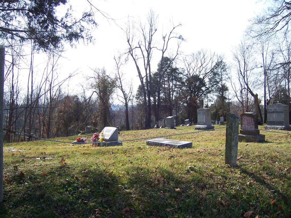
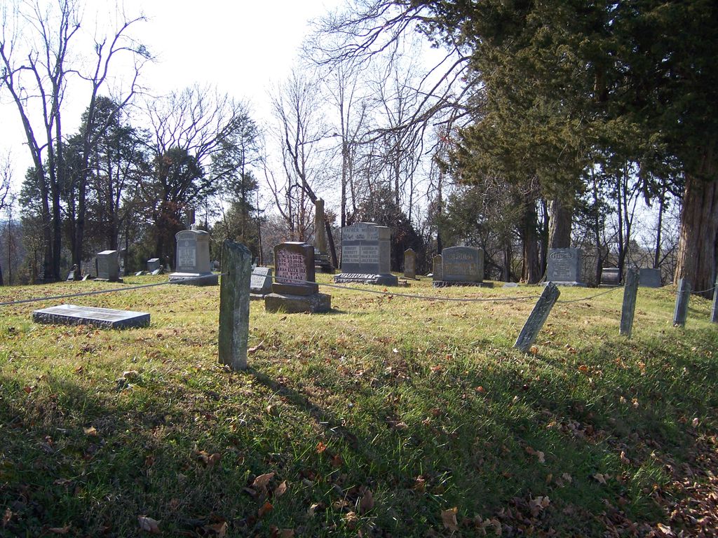
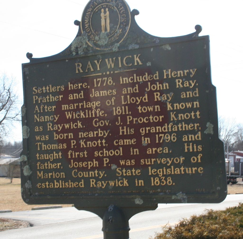
| Description | : | The Raywick Methodist Cemetery is located about one half mile west of Raywick, Marion County, Kentucky on the south side of KY Highway 84 and just east of Prather's Creek about a half mile above where this creek joins the Rolling Fork of the Salt River. The land for this cemetery was donated by Robert Buckler in his 1818 Washington Co., KY will. The Raywick Methodist Episcopal Church, South, established in 1856, was located on the south side of Main Cross Street between Broadway and Walnut Street. This congregation was in the circuit, comprised of six churches:... Read More |
frequently asked questions (FAQ):
-
Where is Raywick Methodist Cemetery?
Raywick Methodist Cemetery is located at Raywick, Marion County ,Kentucky ,USA.
-
Raywick Methodist Cemetery cemetery's updated grave count on graveviews.com?
0 memorials
-
Where are the coordinates of the Raywick Methodist Cemetery?
Latitude: 37.5608230
Longitude: -85.4421490
Nearby Cemetories:
1. Saint Francis Xavier Catholic Cemetery
Raywick, Marion County, USA
Coordinate: 37.5574989, -85.4225006
2. Sutton Cemetery
Marion County, USA
Coordinate: 37.5275002, -85.4689026
3. Highview United Methodist Church Cemetery
Raywick, Marion County, USA
Coordinate: 37.5537100, -85.4983150
4. McNear Cemetery
Loretto, Marion County, USA
Coordinate: 37.6152770, -85.4638930
5. Saint Joseph Cemetery
Marion County, USA
Coordinate: 37.5220230, -85.3886500
6. Skaggs Family Cemetery
Raywick, Marion County, USA
Coordinate: 37.5016190, -85.4628140
7. Saint Francis of Assisi Catholic Cemetery
Saint Francis, Marion County, USA
Coordinate: 37.6273520, -85.4318330
8. Stewarts Creek Baptist Cemetery
Saint Mary, Marion County, USA
Coordinate: 37.5548210, -85.3573370
9. Rolling Fork Baptist Cemetery
Gleanings, LaRue County, USA
Coordinate: 37.5606120, -85.5320700
10. New Bethlehem Baptist Church Cemetery
Attilla, LaRue County, USA
Coordinate: 37.4983400, -85.5033100
11. Bethel Baptist Church Cemetery
LaRue County, USA
Coordinate: 37.5033330, -85.5147110
12. Saint Vincent De Paul Cemetery
New Hope, Nelson County, USA
Coordinate: 37.6231003, -85.5100021
13. Kelly Cemetery
Loretto, Marion County, USA
Coordinate: 37.6333370, -85.3916710
14. Saint Charles Cemetery
Saint Mary, Marion County, USA
Coordinate: 37.5940020, -85.3442430
15. Ratliff Family Cemetery
Raywick, Marion County, USA
Coordinate: 37.4733300, -85.4631000
16. Mount Gilboa Baptist Church Cemetery
Saint Joseph, Marion County, USA
Coordinate: 37.4742620, -85.4053330
17. Saint Matthews Cemetery
Marion County, USA
Coordinate: 37.4832993, -85.3794022
18. Skaggs Cemetery
Attilla, LaRue County, USA
Coordinate: 37.4821600, -85.5026800
19. Smock Chapel Cemetery
Loretto, Marion County, USA
Coordinate: 37.6537600, -85.4009300
20. Levelwoods Methodist Cemetery
LaRue County, USA
Coordinate: 37.5030880, -85.5470290
21. Stillwell Family Cemetery
Hodgenville, LaRue County, USA
Coordinate: 37.5314950, -85.5675530
22. Motherhouse Cemetery
Nerinx, Marion County, USA
Coordinate: 37.6593630, -85.3950120
23. Union Band Baptist Cemetery
Howardstown, Nelson County, USA
Coordinate: 37.5405140, -85.5780820
24. Pottinger Cemetery
Nelson County, USA
Coordinate: 37.6502991, -85.5239029