
| Memorials | : | 0 |
| Location | : | Attilla, LaRue County, USA |
| Coordinate | : | 37.4983400, -85.5033100 |
frequently asked questions (FAQ):
-
Where is New Bethlehem Baptist Church Cemetery?
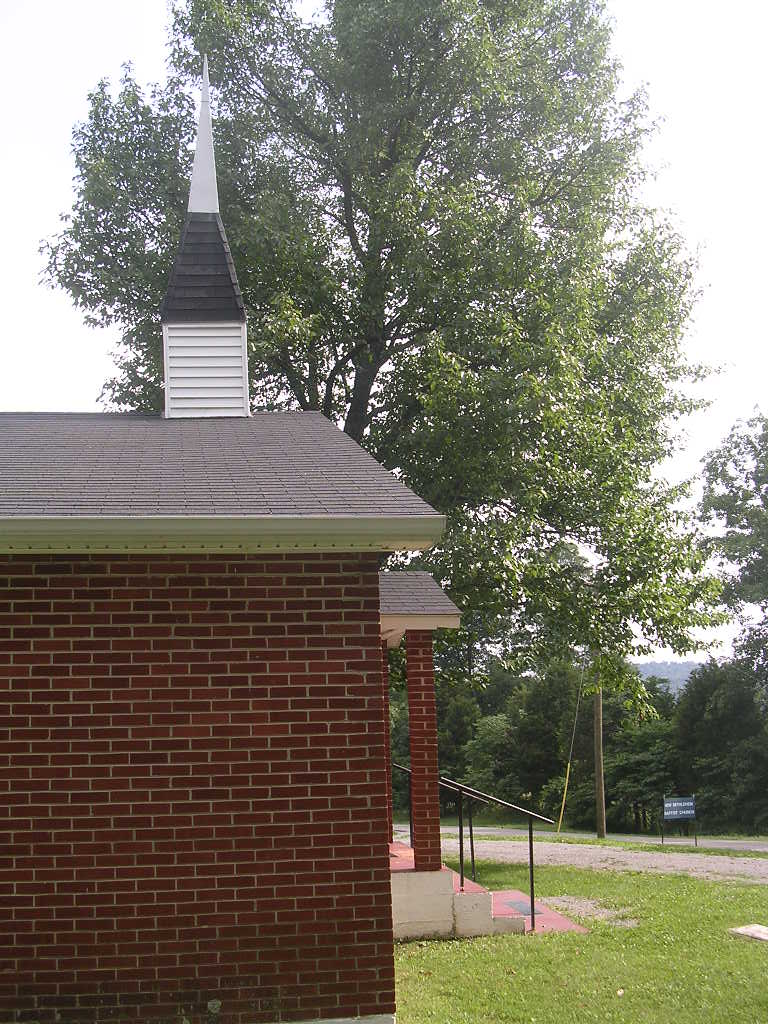
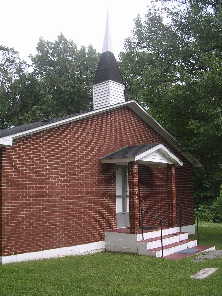
New Bethlehem Baptist Church Cemetery is located at Attilla, LaRue County ,Kentucky ,USA.
-
New Bethlehem Baptist Church Cemetery cemetery's updated grave count on graveviews.com?
0 memorials
-
Where are the coordinates of the New Bethlehem Baptist Church Cemetery?
Latitude: 37.4983400
Longitude: -85.5033100
Nearby Cemetories:
1. Bethel Baptist Church Cemetery
LaRue County, USA
Coordinate: 37.5033330, -85.5147110
2. Skaggs Cemetery
Attilla, LaRue County, USA
Coordinate: 37.4821600, -85.5026800
3. Skaggs Family Cemetery
Raywick, Marion County, USA
Coordinate: 37.5016190, -85.4628140
4. Levelwoods Methodist Cemetery
LaRue County, USA
Coordinate: 37.5030880, -85.5470290
5. Sutton Cemetery
Marion County, USA
Coordinate: 37.5275002, -85.4689026
6. Ratliff Family Cemetery
Raywick, Marion County, USA
Coordinate: 37.4733300, -85.4631000
7. Baird Family Cemetery
Ginseng, LaRue County, USA
Coordinate: 37.5025390, -85.5613310
8. Otter Creek Baptist Cemetery
Buffalo, LaRue County, USA
Coordinate: 37.4663460, -85.5544770
9. Highview United Methodist Church Cemetery
Raywick, Marion County, USA
Coordinate: 37.5537100, -85.4983150
10. Stillwell Family Cemetery
Hodgenville, LaRue County, USA
Coordinate: 37.5314950, -85.5675530
11. Howell Family Cemetery
Ginseng, LaRue County, USA
Coordinate: 37.5037500, -85.5834500
12. Rolling Fork Baptist Cemetery
Gleanings, LaRue County, USA
Coordinate: 37.5606120, -85.5320700
13. Corinth Baptist Church Cemetery
Hodgenville, LaRue County, USA
Coordinate: 37.4689160, -85.5827680
14. Union Band Baptist Cemetery
Howardstown, Nelson County, USA
Coordinate: 37.5405140, -85.5780820
15. Houston Cemetery
Buffalo, LaRue County, USA
Coordinate: 37.4858410, -85.5957320
16. Raywick Methodist Cemetery
Raywick, Marion County, USA
Coordinate: 37.5608230, -85.4421490
17. Beech Grove Methodist Cemetery
Howardstown, Nelson County, USA
Coordinate: 37.5449480, -85.5856950
18. Mount Gilboa Baptist Church Cemetery
Saint Joseph, Marion County, USA
Coordinate: 37.4742620, -85.4053330
19. DeSpain Cemetery
Bloyd, Green County, USA
Coordinate: 37.4571120, -85.5945680
20. Ball Hollow Cemetery
Ginseng, LaRue County, USA
Coordinate: 37.4810700, -85.6070600
21. Saint Francis Xavier Catholic Cemetery
Raywick, Marion County, USA
Coordinate: 37.5574989, -85.4225006
22. Masonic Hall Cemetery
LaRue County, USA
Coordinate: 37.5365170, -85.6027740
23. DeSpain Cemetery
Green County, USA
Coordinate: 37.4605120, -85.6106990
24. Pleasant Ridge Baptist Church Cemetery
LaRue County, USA
Coordinate: 37.4677310, -85.6151200